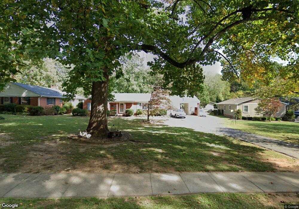
125 S Milford Dr Salisbury, NC 28144
Estimated Value: $260,301 - $294,000
--
Bed
2
Baths
1,686
Sq Ft
$166/Sq Ft
Est. Value
About This Home
This home is located at 125 S Milford Dr, Salisbury, NC 28144 and is currently estimated at $279,825, approximately $165 per square foot. 125 S Milford Dr is a home located in Rowan County with nearby schools including H D Isenberg Elementary, Knox Middle School, and North Rowan Middle School.
Ownership History
Date
Name
Owned For
Owner Type
Purchase Details
Closed on
Jun 23, 2005
Sold by
Britt Gary W and Britt Diane G
Bought by
Dishman Michael L and Dishman Emily Boyd
Current Estimated Value
Home Financials for this Owner
Home Financials are based on the most recent Mortgage that was taken out on this home.
Original Mortgage
$125,000
Outstanding Balance
$63,103
Interest Rate
5.25%
Mortgage Type
Fannie Mae Freddie Mac
Estimated Equity
$216,722
Create a Home Valuation Report for This Property
The Home Valuation Report is an in-depth analysis detailing your home's value as well as a comparison with similar homes in the area
Home Values in the Area
Average Home Value in this Area
Purchase History
| Date | Buyer | Sale Price | Title Company |
|---|---|---|---|
| Dishman Michael L | $125,000 | -- |
Source: Public Records
Mortgage History
| Date | Status | Borrower | Loan Amount |
|---|---|---|---|
| Open | Dishman Michael L | $125,000 |
Source: Public Records
Tax History Compared to Growth
Tax History
| Year | Tax Paid | Tax Assessment Tax Assessment Total Assessment is a certain percentage of the fair market value that is determined by local assessors to be the total taxable value of land and additions on the property. | Land | Improvement |
|---|---|---|---|---|
| 2025 | $2,349 | $196,366 | $27,840 | $168,526 |
| 2024 | $2,349 | $196,366 | $27,840 | $168,526 |
| 2023 | $2,349 | $196,366 | $27,840 | $168,526 |
| 2022 | $1,831 | $132,994 | $25,613 | $107,381 |
| 2021 | $1,831 | $132,994 | $25,613 | $107,381 |
| 2020 | $1,831 | $132,994 | $25,613 | $107,381 |
| 2019 | $1,831 | $132,994 | $25,613 | $107,381 |
| 2018 | $1,564 | $115,087 | $25,612 | $89,475 |
| 2017 | $1,555 | $115,087 | $25,612 | $89,475 |
| 2016 | $1,513 | $115,087 | $25,612 | $89,475 |
| 2015 | $1,522 | $115,087 | $25,612 | $89,475 |
| 2014 | $1,545 | $118,243 | $25,612 | $92,631 |
Source: Public Records
Map
Nearby Homes
- 1441 Statesville Blvd
- 1612 Statesville Blvd
- 207 N Milford Dr
- 103 Spring Dr
- 1638 W Colonial Dr
- 1317 Arden Dr
- 1521 W Colonial Dr
- 306 N Milford Dr
- 1218 Forestdale Dr
- 305 N Milford Dr
- 1300 Larchmont Place Unit 208
- 1300 Larchmont Place Unit 107
- 1300 Larchmont Place
- 1300 Larchmont Place Unit 210
- 319 N Milford Dr
- BEAUMONT Plan at Milford Terrace
- 1931 Calvin Ave
- 1937 Calvin Ave
- 401 Wellington Hills Cir
- 502 Wellington Hills Cir Unit 502
- 129 S Milford Dr
- 121 S Milford Dr
- 137 S Milford Dr
- 117 S Milford Dr
- 128 S Milford Dr
- 141 S Milford Dr
- 124 S Milford Dr
- 113 S Milford Dr
- 120 S Milford Dr
- 132 S Milford Dr
- 140 S Milford Dr
- 156 S Milford Dr
- 1521 Statesville Blvd
- 145 S Milford Dr
- 120 S Mccoy Rd
- 1517 Statesville Blvd
- 1511 Statesville Blvd
- 144 S Milford Dr
- 124 S Mccoy Rd
- 120 Shady Ln