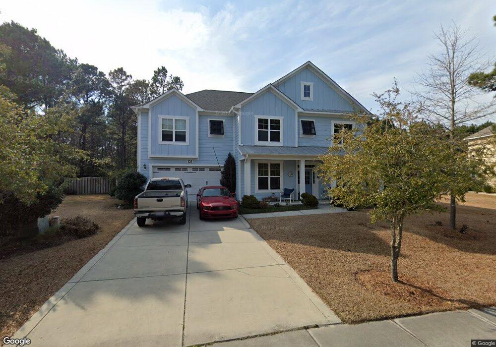
125 Saltwater Landing Dr Hampstead, NC 28443
Estimated Value: $612,000 - $657,911
5
Beds
3
Baths
3,555
Sq Ft
$178/Sq Ft
Est. Value
About This Home
This home is located at 125 Saltwater Landing Dr, Hampstead, NC 28443 and is currently estimated at $633,728, approximately $178 per square foot. 125 Saltwater Landing Dr is a home located in Pender County with nearby schools including North Topsail Elementary School, Topsail Middle School, and Topsail High School.
Ownership History
Date
Name
Owned For
Owner Type
Purchase Details
Closed on
Nov 9, 2011
Sold by
H & H Construction Inc
Bought by
Atkinson Dale M and Atkinson Rose
Current Estimated Value
Home Financials for this Owner
Home Financials are based on the most recent Mortgage that was taken out on this home.
Original Mortgage
$293,900
Outstanding Balance
$201,665
Interest Rate
4.15%
Mortgage Type
VA
Estimated Equity
$432,063
Create a Home Valuation Report for This Property
The Home Valuation Report is an in-depth analysis detailing your home's value as well as a comparison with similar homes in the area
Home Values in the Area
Average Home Value in this Area
Purchase History
| Date | Buyer | Sale Price | Title Company |
|---|---|---|---|
| Atkinson Dale M | $294,000 | -- |
Source: Public Records
Mortgage History
| Date | Status | Borrower | Loan Amount |
|---|---|---|---|
| Open | Atkinson Dale M | $293,900 |
Source: Public Records
Tax History Compared to Growth
Tax History
| Year | Tax Paid | Tax Assessment Tax Assessment Total Assessment is a certain percentage of the fair market value that is determined by local assessors to be the total taxable value of land and additions on the property. | Land | Improvement |
|---|---|---|---|---|
| 2024 | $3,019 | $363,676 | $66,727 | $296,949 |
| 2023 | $3,019 | $363,676 | $66,727 | $296,949 |
| 2022 | $2,682 | $363,676 | $66,727 | $296,949 |
| 2021 | $2,682 | $363,676 | $66,727 | $296,949 |
| 2020 | $2,682 | $363,676 | $66,727 | $296,949 |
| 2019 | $2,682 | $363,676 | $66,727 | $296,949 |
| 2018 | $2,670 | $343,463 | $72,000 | $271,463 |
| 2017 | $2,670 | $343,463 | $72,000 | $271,463 |
| 2016 | $2,636 | $343,463 | $72,000 | $271,463 |
| 2015 | $2,636 | $343,463 | $72,000 | $271,463 |
| 2014 | $2,008 | $343,463 | $72,000 | $271,463 |
| 2013 | -- | $343,463 | $72,000 | $271,463 |
| 2012 | -- | $326,862 | $72,000 | $254,862 |
Source: Public Records
Map
Nearby Homes
- 124 N Brig Dr
- 120 N Brig Dr
- 112 N Brig Dr
- Cedar Plan at Magnolia Reserve
- Madison Plan at Magnolia Reserve
- Masonboro Plan at Magnolia Reserve
- Oleander Plan at Magnolia Reserve
- Otter Plan at Magnolia Reserve
- 110 E Barred Owl Dr
- 103 Lennox Ln
- 101 Lennox Ln
- 102 Lennox Ln
- 107 Lennox Ln
- 100 Lennox Ln
- 105 Lennox Ln
- 116 E Barred Owl Dr
- 101 Superior
- 428 Northern Pintail Place
- 207 W Yellow Lois Dr
- 209 W Yellow Lois Dr
- 123 Saltwater Landing Dr
- 118 Saltwater Landing Dr
- 122 Saltwater Landing Dr
- 124 Saltwater Landing Dr
- 119 Saltwater Landing Dr
- 126 Saltwater Landing Dr
- 126 Saltwater Landing Dr
- 117 N Brig Dr
- 128 Saltwater Landing Dr
- 115 Saltwater Landing Dr
- 115 Saltwater Landing Dr
- 32 N Brig Dr
- 534 Montgomery Loop
- 113 N Brig Dr
- 22 N Brig Dr
- 22 Brigg Dr
- 72 N Brig Dr
- 28 N Brig Dr
- 80 N Brig Dr
- 130 Saltwater Landing Dr