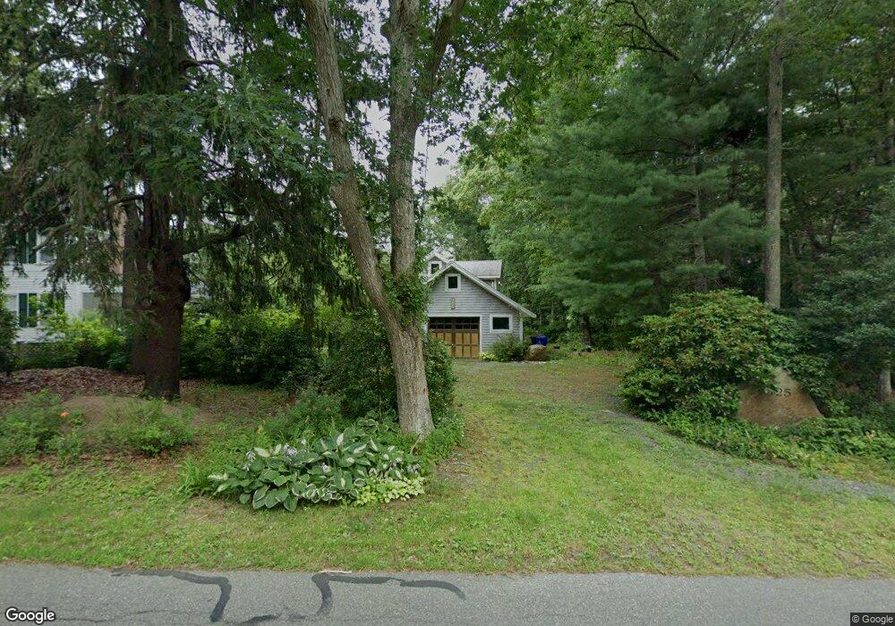
125 Scraggy Neck Rd Pocasset, MA 2559
Cataumet NeighborhoodEstimated Value: $960,000 - $1,153,000
3
Beds
3
Baths
2,209
Sq Ft
$485/Sq Ft
Est. Value
About This Home
This home is located at 125 Scraggy Neck Rd, Pocasset, MA 2559 and is currently estimated at $1,071,828, approximately $485 per square foot. 125 Scraggy Neck Rd is a home located in Barnstable County with nearby schools including Bourne High School, Cadence Academy Preschool - Bourne, and Heritage Christian Academy.
Ownership History
Date
Name
Owned For
Owner Type
Purchase Details
Closed on
Dec 15, 2018
Sold by
Caspar Donald L
Bought by
Caspar Emma
Current Estimated Value
Purchase Details
Closed on
Feb 5, 2013
Sold by
Caspar Emma
Bought by
Caspar Donald L
Purchase Details
Closed on
Dec 27, 2012
Sold by
Donald L D Caspar Qprt L and Donald Caspar
Bought by
Caspar Emma
Purchase Details
Closed on
May 12, 2008
Sold by
Caspar Donald L D and Caspar Gwladys L
Bought by
Caspar Donald L D and Donald Caspar
Create a Home Valuation Report for This Property
The Home Valuation Report is an in-depth analysis detailing your home's value as well as a comparison with similar homes in the area
Home Values in the Area
Average Home Value in this Area
Purchase History
| Date | Buyer | Sale Price | Title Company |
|---|---|---|---|
| Caspar Emma | -- | -- | |
| Caspar Emma | -- | -- | |
| Caspar Donald L | -- | -- | |
| Caspar Donald L | -- | -- | |
| Caspar Emma | -- | -- | |
| Caspar Emma | -- | -- | |
| Caspar Donald L D | -- | -- | |
| Donald L D Caspar L | $10,000 | -- | |
| Caspar Donald L D | -- | -- |
Source: Public Records
Tax History Compared to Growth
Tax History
| Year | Tax Paid | Tax Assessment Tax Assessment Total Assessment is a certain percentage of the fair market value that is determined by local assessors to be the total taxable value of land and additions on the property. | Land | Improvement |
|---|---|---|---|---|
| 2025 | $7,596 | $972,600 | $419,600 | $553,000 |
| 2024 | $7,478 | $932,400 | $399,600 | $532,800 |
| 2023 | $7,199 | $817,100 | $345,600 | $471,500 |
| 2022 | $6,906 | $684,400 | $305,800 | $378,600 |
| 2021 | $6,753 | $627,000 | $278,300 | $348,700 |
| 2020 | $6,603 | $614,800 | $275,700 | $339,100 |
| 2019 | $6,299 | $599,300 | $275,700 | $323,600 |
| 2018 | $6,053 | $574,300 | $262,600 | $311,700 |
| 2017 | $5,858 | $568,700 | $260,100 | $308,600 |
| 2016 | $5,696 | $560,600 | $260,100 | $300,500 |
| 2015 | $5,645 | $560,600 | $260,100 | $300,500 |
Source: Public Records
Map
Nearby Homes
- 10 Squeteague Harbor Rd
- 250 Scraggy Neck Rd
- 75 Winsor Rd
- 31 Baxendale Rd
- 48 Red Brook Harbor Rd
- 48 Garnet Ave
- 3 Red Brook Pond Dr
- 1234 Route 28a
- 1234 Route 28a
- 22 Nairn Rd
- 1094 County Rd
- 23 Wohelo Dr
- 289 Old Main Rd
- 940 County Rd
- 24 Fiddlers Cove Rd
- 2 Tricia Rd
- 14 Ryder Rd
- 37 Five Gate Ln
- 9 Seascape Ln
- 119 Scraggy Neck Rd
- 119 Scraggy Neck Rd
- 129 Scraggy Neck Rd
- 5 Tower Ln
- 15 Thaxter
- 42 Mystery Ln
- 133 Scraggy Neck Rd
- 32 Mystery Ln
- 109 Scraggy Neck Rd
- 109 Scraggy Neck Rd
- 120 Scraggy Neck Rd
- 5 Squeteague Harbor Rd
- 5 Squeteague Harbor Rd
- 134 Scraggy Neck Rd
- 200 Red Brook Harbor
- 128 Scraggy Neck Rd
- 134 Scraggy Neck Rd
- 15 Squeteague Harbor Rd
- 31 Squeteague Harbor Rd
- 105 Scraggy Neck Rd