125 Swafford Ln Searcy, AR 72143
Estimated Value: $119,422 - $150,000
--
Bed
2
Baths
1,200
Sq Ft
$116/Sq Ft
Est. Value
About This Home
This home is located at 125 Swafford Ln, Searcy, AR 72143 and is currently estimated at $138,606, approximately $115 per square foot. 125 Swafford Ln is a home located in White County with nearby schools including Pangburn Elementary School and Pangburn High School.
Ownership History
Date
Name
Owned For
Owner Type
Purchase Details
Closed on
Mar 17, 2023
Sold by
Swafford Mary and Swafford Troy
Bought by
Arnold Tammy
Current Estimated Value
Purchase Details
Closed on
Mar 14, 2023
Sold by
Stracener Jennifer
Bought by
Swafford Mary
Purchase Details
Closed on
Sep 16, 2005
Sold by
Moore Marcus M and Moore Carmen
Bought by
Stracener Christoper E
Home Financials for this Owner
Home Financials are based on the most recent Mortgage that was taken out on this home.
Original Mortgage
$78,061
Interest Rate
5.76%
Mortgage Type
New Conventional
Purchase Details
Closed on
Jul 31, 2001
Bought by
Moore Marcus and Moore Carmen
Purchase Details
Closed on
Jun 29, 2001
Bought by
State-Moore Marcus and State-Moore Carmen
Purchase Details
Closed on
Jun 1, 1995
Bought by
Moore Marcus and Moore Carmen
Create a Home Valuation Report for This Property
The Home Valuation Report is an in-depth analysis detailing your home's value as well as a comparison with similar homes in the area
Home Values in the Area
Average Home Value in this Area
Purchase History
| Date | Buyer | Sale Price | Title Company |
|---|---|---|---|
| Arnold Tammy | -- | -- | |
| Arnold Tammy | -- | None Listed On Document | |
| Swafford Mary | -- | -- | |
| Stracener Christoper E | $77,000 | None Available | |
| Moore Marcus | -- | -- | |
| State-Moore Marcus | -- | -- | |
| Moore Marcus | -- | -- |
Source: Public Records
Mortgage History
| Date | Status | Borrower | Loan Amount |
|---|---|---|---|
| Previous Owner | Stracener Christoper E | $78,061 |
Source: Public Records
Tax History Compared to Growth
Tax History
| Year | Tax Paid | Tax Assessment Tax Assessment Total Assessment is a certain percentage of the fair market value that is determined by local assessors to be the total taxable value of land and additions on the property. | Land | Improvement |
|---|---|---|---|---|
| 2025 | $652 | $15,050 | $1,800 | $13,250 |
| 2024 | $652 | $15,050 | $1,800 | $13,250 |
| 2023 | $227 | $15,050 | $1,800 | $13,250 |
| 2022 | $276 | $15,050 | $1,800 | $13,250 |
| 2021 | $276 | $15,050 | $1,800 | $13,250 |
| 2020 | $305 | $14,950 | $2,000 | $12,950 |
| 2019 | $305 | $14,950 | $2,000 | $12,950 |
| 2018 | $303 | $14,950 | $2,000 | $12,950 |
| 2017 | $597 | $14,950 | $2,000 | $12,950 |
| 2016 | $597 | $13,110 | $2,000 | $11,110 |
| 2015 | $569 | $12,510 | $1,700 | $10,810 |
| 2014 | -- | $12,000 | $1,700 | $10,300 |
Source: Public Records
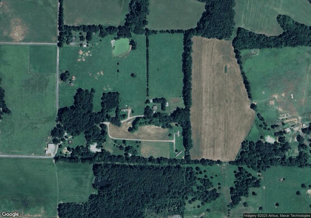
Map
Nearby Homes
- 000 Fairview Rd
- 256 Rambo Loop
- Lot 10 Little Red River Dr
- Lot 6 Little Red River Dr
- Lot 5 Little Red River Dr
- Lot 3 Little Red River Dr
- Lot 2 Little Red River Dr
- Lot 12 Little Red River Dr
- Lot 1 Little Red River Dr
- 178 Baugh Rd
- 100 Mountain Side Dr
- 138 Mount Side Dr
- 0000 Mount Side Dr Unit Vacant Lot next to 1
- TBD Tiffany St
- 201 Longview Cir
- 000 Sammie Smith Rd
- 1084 Pickens Chapel Rd
- 414 Carole St
- 3326 Arkansas 16
- 244 Crocker Ranch Rd