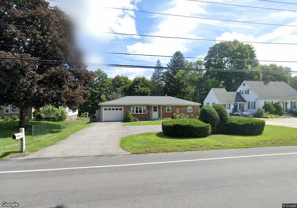
125 Thompson Rd Webster, MA 01570
Estimated Value: $326,000 - $414,000
3
Beds
1
Bath
1,134
Sq Ft
$323/Sq Ft
Est. Value
About This Home
This home is located at 125 Thompson Rd, Webster, MA 01570 and is currently estimated at $366,236, approximately $322 per square foot. 125 Thompson Rd is a home located in Worcester County with nearby schools including Park Avenue Elementary School, Webster Middle School, and Bartlett High School.
Ownership History
Date
Name
Owned For
Owner Type
Purchase Details
Closed on
Aug 1, 2018
Sold by
Hucksam Edith
Bought by
Barker Christopher
Current Estimated Value
Home Financials for this Owner
Home Financials are based on the most recent Mortgage that was taken out on this home.
Original Mortgage
$158,329
Outstanding Balance
$137,502
Interest Rate
4.5%
Mortgage Type
FHA
Estimated Equity
$228,734
Purchase Details
Closed on
May 12, 2010
Sold by
Mahan Theresa A
Bought by
Cobb Barbara A and Hucksam Edith
Create a Home Valuation Report for This Property
The Home Valuation Report is an in-depth analysis detailing your home's value as well as a comparison with similar homes in the area
Home Values in the Area
Average Home Value in this Area
Purchase History
| Date | Buyer | Sale Price | Title Company |
|---|---|---|---|
| Barker Christopher | $161,250 | -- | |
| Cobb Barbara A | $210,000 | -- |
Source: Public Records
Mortgage History
| Date | Status | Borrower | Loan Amount |
|---|---|---|---|
| Open | Barker Christopher | $158,329 |
Source: Public Records
Tax History
| Year | Tax Paid | Tax Assessment Tax Assessment Total Assessment is a certain percentage of the fair market value that is determined by local assessors to be the total taxable value of land and additions on the property. | Land | Improvement |
|---|---|---|---|---|
| 2025 | $3,708 | $312,100 | $56,900 | $255,200 |
| 2024 | $3,702 | $303,900 | $54,800 | $249,100 |
| 2023 | $3,335 | $266,800 | $52,100 | $214,700 |
| 2022 | $3,240 | $232,100 | $50,600 | $181,500 |
| 2021 | $13,076 | $210,200 | $50,600 | $159,600 |
| 2020 | $4,234 | $202,700 | $50,600 | $152,100 |
| 2019 | $3,351 | $218,600 | $50,600 | $168,000 |
| 2018 | $3,098 | $201,300 | $48,200 | $153,100 |
| 2017 | $2,970 | $196,300 | $47,200 | $149,100 |
| 2016 | $2,746 | $181,400 | $47,200 | $134,200 |
| 2015 | $2,581 | $175,800 | $46,300 | $129,500 |
Source: Public Records
Map
Nearby Homes
- 125 Birch Island Rd
- 36 Lake Pkwy
- 00 Juniper Ln
- 66 Whitcomb St
- 48 Lake St
- 29 Whitcomb St
- 10 Indian Point Rd
- 39 Lake St
- 0 Thompson Rd
- 13 5th Ave
- 0 Prospect St
- 14 Slater St
- 613-615 S Main St
- 38 Park St
- 19 Myrtle Ave
- 30 Valley St
- 17 Mount Pleasant St
- 53-55 Point Pleasant Rd
- 2 Brookline St
- 66 Racicot Ave
- 123 Thompson Rd
- 121 Thompson Rd
- 129 Thompson Rd
- 123` Thompson Rd
- 119B Thompson Rd Lot:b
- 119B Thompson Rd
- 124 Thompson Rd
- 128 Thompson Rd
- 120 Thompson Rd Unit B
- 120 Thompson Rd Unit A
- 119A Thompson Rd Lot:c
- 119A Thompson Rd
- 126 Thompson Rd
- 119 Thompson Rd
- 130 Thompson Rd
- 28 Sibley Ave
- 118 Thompson Rd Unit B
- 118 Thompson Rd Unit A
- 116 Thompson Rd Unit 118
- 132 Thompson Rd
Your Personal Tour Guide
Ask me questions while you tour the home.