125 Timothy Place Athens, GA 30606
Estimated Value: $278,188 - $405,000
--
Bed
--
Bath
1,324
Sq Ft
$258/Sq Ft
Est. Value
About This Home
This home is located at 125 Timothy Place, Athens, GA 30606 and is currently estimated at $341,547, approximately $257 per square foot. 125 Timothy Place is a home located in Clarke County with nearby schools including Barrow Elementary School, Clarke Middle School, and Clarke Central High School.
Ownership History
Date
Name
Owned For
Owner Type
Purchase Details
Closed on
Apr 23, 2002
Sold by
Laseter Todd A and Lasete Tina M
Bought by
Laseter Todd A and Laseter Laseter
Current Estimated Value
Purchase Details
Closed on
Dec 4, 1997
Sold by
Vick Randall E and Brenda Jung
Bought by
Laseter Todd A and Laseter Tina M
Purchase Details
Closed on
Nov 4, 1997
Sold by
Lowe James Eugene
Bought by
Vick Randall E and Brenda Jung
Purchase Details
Closed on
Aug 19, 1994
Sold by
Hamilton Robert D
Bought by
Lowe James Eugene
Create a Home Valuation Report for This Property
The Home Valuation Report is an in-depth analysis detailing your home's value as well as a comparison with similar homes in the area
Home Values in the Area
Average Home Value in this Area
Purchase History
| Date | Buyer | Sale Price | Title Company |
|---|---|---|---|
| Laseter Todd A | -- | -- | |
| Laseter Todd A | $70,000 | -- | |
| Vick Randall E | $55,500 | -- | |
| Lowe James Eugene | $50,000 | -- |
Source: Public Records
Tax History Compared to Growth
Tax History
| Year | Tax Paid | Tax Assessment Tax Assessment Total Assessment is a certain percentage of the fair market value that is determined by local assessors to be the total taxable value of land and additions on the property. | Land | Improvement |
|---|---|---|---|---|
| 2025 | $2,268 | $73,052 | $12,100 | $60,952 |
| 2024 | $2,268 | $69,654 | $12,100 | $57,554 |
| 2023 | $2,177 | $65,089 | $12,100 | $52,989 |
| 2022 | $1,845 | $57,846 | $12,100 | $45,746 |
| 2021 | $1,627 | $48,278 | $12,100 | $36,178 |
| 2020 | $1,567 | $46,496 | $12,100 | $34,396 |
| 2019 | $1,558 | $45,890 | $12,100 | $33,790 |
| 2018 | $1,431 | $42,156 | $12,100 | $30,056 |
| 2017 | $1,350 | $39,759 | $12,100 | $27,659 |
| 2016 | $1,256 | $36,995 | $9,680 | $27,315 |
| 2015 | $1,258 | $36,995 | $9,680 | $27,315 |
| 2014 | $1,260 | $36,995 | $9,680 | $27,315 |
Source: Public Records
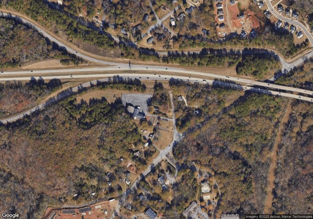
Map
Nearby Homes
- 145 Holmes Ave
- 277 Highpointe Ln
- 250 Highpointe Ln
- 3119 Spartan Estates Dr
- 262 Rhodes Dr
- 780 Macon Hwy
- 105 Princeton Mill Rd
- 8580 Macon Hwy
- 1125 Macon Hwy
- 299 Kennington Dr
- 201 Hamilton Rd Unit 7
- 201 Hamilton Rd
- 2880 Spartan Estates Dr
- 105 Greystone Terrace
- 595 Macon Hwy
- 595 Macon Hwy Unit 9
- 595 Macon Hwy Unit 39
- 185 Eaglewood Way
- 145 Heatherwood Ln
- 140 Timothy Place
- 990 Macon Hwy
- 1000 Macon Hwy
- 1010 Macon Hwy
- 0 Macon Hwy Unit CL336646
- 0 Macon Hwy Unit 10584304
- 0 Macon Hwy Unit 3247526
- 0 Macon Hwy Unit 8512627
- 0 Macon Hwy Unit 8861210
- 0 Macon Hwy Unit 8997266
- 0 Macon Hwy Unit 8997273
- 0 Macon Hwy Unit 8116215
- 219 Timothy Rd
- 1030 Macon Hwy
- 100 Rhodes Dr
- 185 Holmes Ave
- 0 Puritan Ln Unit 8116222
- 1040 Macon Hwy
- 1015 Macon Hwy
- 150 Rhodes Dr