125 W Curtis Rd Concord, GA 30206
Estimated Value: $238,709 - $317,000
--
Bed
1
Bath
1,403
Sq Ft
$194/Sq Ft
Est. Value
About This Home
This home is located at 125 W Curtis Rd, Concord, GA 30206 and is currently estimated at $272,427, approximately $194 per square foot. 125 W Curtis Rd is a home located in Pike County with nearby schools including Pike County Primary School, Pike County Elementary School, and Pike County Middle School.
Ownership History
Date
Name
Owned For
Owner Type
Purchase Details
Closed on
Feb 7, 2022
Sold by
Prevatt Ross D Estate
Bought by
Zoellner Craig
Current Estimated Value
Home Financials for this Owner
Home Financials are based on the most recent Mortgage that was taken out on this home.
Original Mortgage
$147,283
Outstanding Balance
$136,763
Interest Rate
3.55%
Mortgage Type
FHA
Estimated Equity
$135,664
Purchase Details
Closed on
May 17, 1999
Bought by
Prevatt Ross D and Prevatt Shirley M
Create a Home Valuation Report for This Property
The Home Valuation Report is an in-depth analysis detailing your home's value as well as a comparison with similar homes in the area
Home Values in the Area
Average Home Value in this Area
Purchase History
| Date | Buyer | Sale Price | Title Company |
|---|---|---|---|
| Zoellner Craig | $150,000 | -- | |
| Prevatt Ross D | $83,900 | -- |
Source: Public Records
Mortgage History
| Date | Status | Borrower | Loan Amount |
|---|---|---|---|
| Open | Zoellner Craig | $147,283 |
Source: Public Records
Tax History Compared to Growth
Tax History
| Year | Tax Paid | Tax Assessment Tax Assessment Total Assessment is a certain percentage of the fair market value that is determined by local assessors to be the total taxable value of land and additions on the property. | Land | Improvement |
|---|---|---|---|---|
| 2024 | $1,576 | $69,516 | $14,304 | $55,212 |
| 2023 | $1,842 | $69,516 | $14,304 | $55,212 |
| 2022 | $1,324 | $51,662 | $14,304 | $37,358 |
| 2021 | $1,165 | $44,686 | $7,328 | $37,358 |
| 2020 | $1,178 | $44,686 | $7,328 | $37,358 |
| 2019 | $1,057 | $36,654 | $7,328 | $29,326 |
| 2018 | $1,058 | $36,654 | $7,328 | $29,326 |
| 2017 | $1,052 | $36,654 | $7,328 | $29,326 |
| 2016 | $966 | $36,654 | $7,328 | $29,326 |
| 2015 | $910 | $36,654 | $7,328 | $29,326 |
| 2014 | $923 | $36,654 | $7,328 | $29,326 |
| 2013 | -- | $36,654 | $7,328 | $29,326 |
Source: Public Records
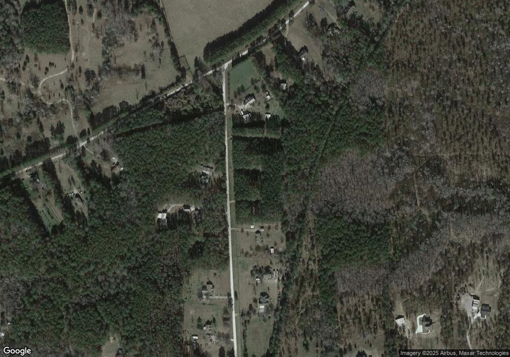
Map
Nearby Homes
- TRACT 1 Bates Rd (14 05acs)
- 667 Hamilton Rd
- TRACT 2 Bates Rd (56 99acs)
- 0 W Fossett Rd Unit 10629253
- 764 Bates Rd (228 96acs)
- TRACT 6 & 7 Bates Rd (47 4acs)
- L-8 Strickland Rd
- 184 Flint Farms Dr
- 243 Flint Farms Dr
- 126 Flint Farms Dr
- LOT 12 Flint Farms Dr
- 1579 Bates Rd
- LOT 11 Flint Farms Dr
- TRACT 5 Bates Rd (13 98acs)
- 3.39 ACRES Caldwell Bridge Rd
- 0 Indian Trail Unit 10530670
- 10000 Highway 18 W
- 0 Collier Rd Unit 25031854
- 0 Collier Rd Unit 10493888
- 0 Bagwell Rd Unit 10511111
- 161 W Curtis Rd
- 85 W Curtis Rd
- 126 W Curtis Rd
- 195 W Curtis Rd
- 174 W Curtis Rd
- 45 W Rd
- 45 W Curtis Rd
- 210 W Curtis Rd
- 2133 Strickland Rd
- L-3 Strickland Rd
- 278 W Curtis Rd
- 299 W Curtis Rd
- 2083 Strickland Rd
- 2371 Strickland Rd
- 2037 Strickland Rd
- 330 W Curtis Rd
- 2315 Strickland Rd
- 2407 Strickland Rd
- 2021 Strickland Rd
- 962 Flat Shoals Rd