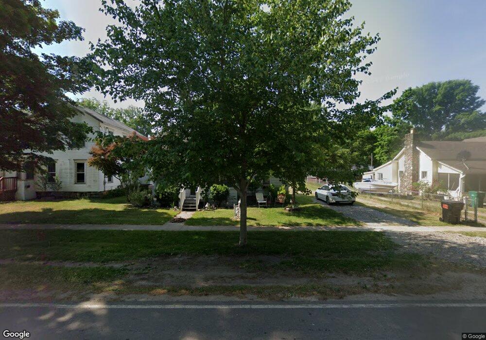
125 W Division St Sherwood, MI 49089
Estimated Value: $76,001 - $131,000
3
Beds
1
Bath
1,000
Sq Ft
$92/Sq Ft
Est. Value
About This Home
This home is located at 125 W Division St, Sherwood, MI 49089 and is currently estimated at $92,000, approximately $92 per square foot. 125 W Division St is a home located in Branch County with nearby schools including Union City Elementary School, Union City Middle School, and Union City High School.
Ownership History
Date
Name
Owned For
Owner Type
Purchase Details
Closed on
Apr 12, 2011
Sold by
Oliver Donald H and Oliver Thomas C
Bought by
Oliver Beverly J and Oliver Timothy L
Current Estimated Value
Purchase Details
Closed on
Nov 30, 2006
Sold by
Arney Erwin F and Arney Blanche M
Bought by
Oliver Donald and Oliver Thomas
Home Financials for this Owner
Home Financials are based on the most recent Mortgage that was taken out on this home.
Original Mortgage
$23,500
Outstanding Balance
$14,120
Interest Rate
6.4%
Mortgage Type
Purchase Money Mortgage
Estimated Equity
$77,880
Create a Home Valuation Report for This Property
The Home Valuation Report is an in-depth analysis detailing your home's value as well as a comparison with similar homes in the area
Home Values in the Area
Average Home Value in this Area
Purchase History
| Date | Buyer | Sale Price | Title Company |
|---|---|---|---|
| Oliver Beverly J | -- | None Available | |
| Oliver Donald | $23,500 | Branch County Abstract & Tit |
Source: Public Records
Mortgage History
| Date | Status | Borrower | Loan Amount |
|---|---|---|---|
| Open | Oliver Donald | $23,500 |
Source: Public Records
Tax History Compared to Growth
Tax History
| Year | Tax Paid | Tax Assessment Tax Assessment Total Assessment is a certain percentage of the fair market value that is determined by local assessors to be the total taxable value of land and additions on the property. | Land | Improvement |
|---|---|---|---|---|
| 2025 | $421 | $27,900 | $0 | $0 |
| 2024 | $142 | $27,450 | $0 | $0 |
| 2023 | $142 | $24,950 | $0 | $0 |
| 2022 | $142 | $20,550 | $0 | $0 |
| 2021 | -- | $20,650 | $0 | $0 |
| 2020 | -- | $18,150 | $0 | $0 |
| 2019 | -- | $15,450 | $0 | $0 |
| 2018 | -- | $14,350 | $0 | $0 |
| 2017 | -- | $12,450 | $0 | $0 |
| 2016 | -- | $11,650 | $0 | $0 |
| 2015 | -- | $11,700 | $0 | $0 |
| 2014 | -- | $13,600 | $0 | $0 |
| 2013 | -- | $21,400 | $0 | $0 |
Source: Public Records
Map
Nearby Homes
- 0 N Main St Unit Vacant
- 140 W Clay St
- 0 Dunks Rd
- 881 Brent Dr
- 893 Vogel Dr
- VL Heights Dr
- 774 Ralston Rd
- v/l Oliverda Rd
- 796 W Girard Rd
- 110 Dotson Dr
- 0 Dotson Dr Unit 24037129
- V/L Chippawa Circle Dr
- 982 Stanton Rd
- 912 W Colon Rd
- 1252 Cherokee Dr
- 793 Blossom Rd
- 1332 Cherokee Dr
- 0 N Burr Oak Rd
- 786 W Colon Rd
- 457 S Burr Oak Rd
- 121 W Division St
- 131 W Division St Unit Bldg-Unit
- 131 W Division St
- 115 W Division St
- 135 W Division St
- 118 W Division St
- 132 W Division St
- 107 W Division St
- 118 Mechanic St
- 122 Mechanic St
- 203 W Division St
- 126 Mechanic St
- 208 W Division St
- 117 N Main St
- 113 Fulton St
- 105 W Division St
- 212 W Division St
- 108 E Division St
- 121 Mechanic St
- 114 E Division St