125 W Union Grove Cir Auburn, GA 30011
Estimated Value: $157,000 - $304,392
3
Beds
2
Baths
1,152
Sq Ft
$226/Sq Ft
Est. Value
About This Home
This home is located at 125 W Union Grove Cir, Auburn, GA 30011 and is currently estimated at $259,848, approximately $225 per square foot. 125 W Union Grove Cir is a home with nearby schools including Mulberry Elementary School, Dacula Middle School, and Dacula High School.
Ownership History
Date
Name
Owned For
Owner Type
Purchase Details
Closed on
Dec 21, 2023
Sold by
Lance Michael Douglas
Bought by
Mdl Properties 4 Llc
Current Estimated Value
Purchase Details
Closed on
Jun 10, 2022
Sold by
Lance Garnett Cecil
Bought by
Lance Michael Douglas and Lance Joan Marie
Purchase Details
Closed on
Apr 2, 2014
Sold by
Lunsford Carolyn
Bought by
Lance Garnett C
Purchase Details
Closed on
Jun 19, 2013
Sold by
Nr Deed Llc
Bought by
Lunsford Carolyn
Purchase Details
Closed on
Jun 4, 2013
Sold by
Lunsford Carolyn
Bought by
Nr Deed Llc
Create a Home Valuation Report for This Property
The Home Valuation Report is an in-depth analysis detailing your home's value as well as a comparison with similar homes in the area
Home Values in the Area
Average Home Value in this Area
Purchase History
| Date | Buyer | Sale Price | Title Company |
|---|---|---|---|
| Mdl Properties 4 Llc | -- | -- | |
| Lance Michael Douglas | -- | -- | |
| Lance Garnett C | $45,000 | -- | |
| Lance Garnett C | $45,000 | -- | |
| Lunsford Carolyn | $24,000 | -- | |
| Nr Deed Llc | -- | -- |
Source: Public Records
Tax History Compared to Growth
Tax History
| Year | Tax Paid | Tax Assessment Tax Assessment Total Assessment is a certain percentage of the fair market value that is determined by local assessors to be the total taxable value of land and additions on the property. | Land | Improvement |
|---|---|---|---|---|
| 2025 | $2,864 | $72,400 | $22,000 | $50,400 |
| 2024 | $2,919 | $72,400 | $22,000 | $50,400 |
| 2023 | $2,919 | $76,080 | $22,000 | $54,080 |
| 2022 | $2,155 | $52,000 | $13,200 | $38,800 |
| 2021 | $2,175 | $52,000 | $13,200 | $38,800 |
| 2020 | $2,185 | $52,000 | $13,200 | $38,800 |
| 2019 | $1,626 | $38,120 | $9,760 | $28,360 |
| 2018 | $1,621 | $38,120 | $9,760 | $28,360 |
| 2016 | $1,639 | $38,120 | $9,760 | $28,360 |
| 2015 | $1,653 | $38,120 | $9,760 | $28,360 |
| 2014 | $1,594 | $36,240 | $8,760 | $27,480 |
Source: Public Records
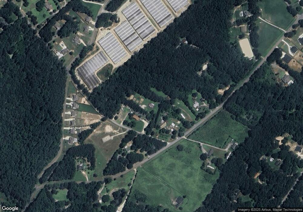
Map
Nearby Homes
- 325 Rodeo Dr
- 315 Rodeo Dr
- 395 Rodeo Dr
- 270 E Union Grove Cir
- 405 Rodeo Dr
- 81 Hills Shop Rd
- 689 Rodeo Dr
- 108 Longhorn Way
- 58 Longhorn Way
- 306 Rodeo Dr
- 2057 Blackberry Ln
- 596 Rodeo Dr
- 2063 Blackberry Ln
- Chestnut Plan at Kentmere - Single Family Homes
- Coleford Plan at Kentmere - Single Family Homes
- Pembrooke Plan at Kentmere - Single Family Homes
- Hawthorn-II Plan at Kentmere - Single Family Homes
- Jackson Plan at Kentmere - Single Family Homes
- Holly Plan at Kentmere - Single Family Homes
- 636 Rodeo Dr
- 133 W Union Grove Cir
- 185 W Union Grove Cir Unit 1
- 185 W Union Grove Cir
- 202 Wages Rd
- 186 Wages Rd
- 00 Wages Rd
- 0 Wages Rd Unit 1
- 01 Wages Rd
- 0 Wages Rd Unit 7238112
- 0 Wages Rd Unit 7266954
- 0 Wages Rd Unit 8733606
- 0 Wages Rd Unit 1 8421020
- 0 Wages Rd Unit 8867619
- 0 Wages Rd Unit 7075854
- 0 Wages Rd Unit 8377138
- 0 Wages Rd Unit 8513877
- 3820 Bailey Rd
- 3800 Bailey Rd Unit 5
- 3810 Bailey Rd Unit 4
- 3800 Bailey Rd