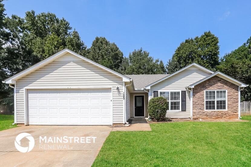
125 Waters Edge Dr Locust Grove, GA 30248
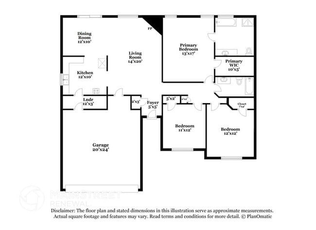
3
Beds
2
Baths
1,320
Sq Ft
10,454
Sq Ft Lot
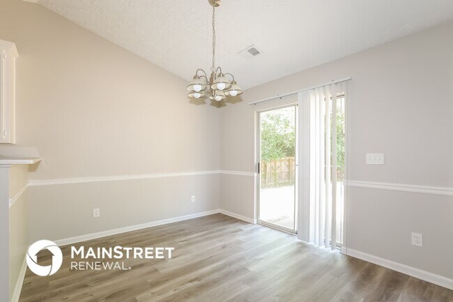
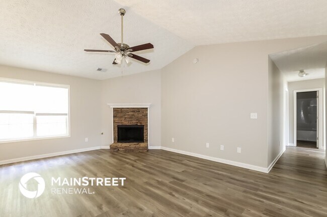
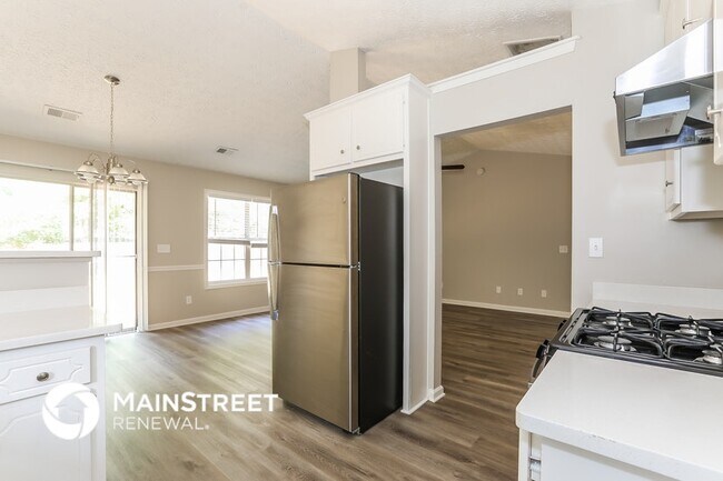
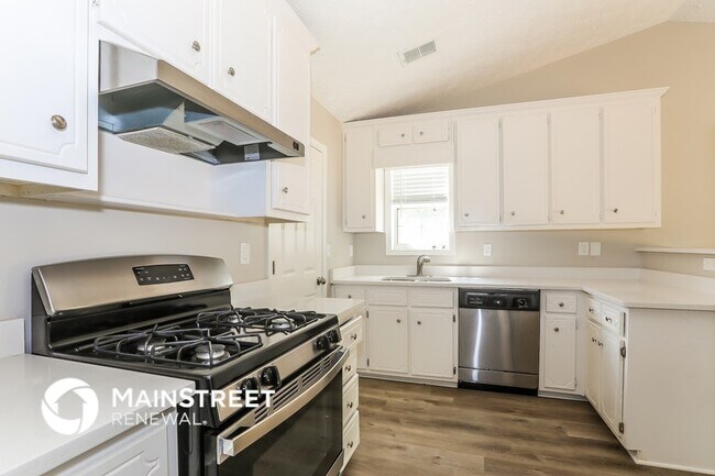
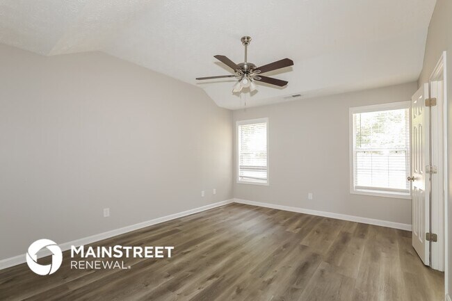
About This Home
Beautiful, pet-friendly home coming soon! Apply now, Move-In is available on or after the listed date. Upon approval, $500 reservation deposit to reserve (applied to security deposit and/or refundable). Application fee: $50 per adult. Security Deposit: one month's rent. Pet fees: $250 + $35/mo per pet. Some homes may include pool ($150/mo), septic ($15/mo), and/or HOA fees; other fees may apply. We do not advertise on Craigslist or ask for payments via check, cash, wire transfer, or cash apps.
Listing Provided By

Map
Nearby Homes
- 830 Lincoln Square
- 703 Paul Revere Dr
- 959 Gettysburg Way
- 280 Lakeview Dr
- 172 Lakeview Dr
- 322 Loblolly Ridge
- 361 Hemlock Ln
- 2036 Ross Ln
- 3006 Ryan Rd
- 340 Loblolly Ridge
- 3019 Ryan Rd
- 0 Peeksville Rd Unit 20131057
- 3026 Ryan Rd
- 36 Highpoint Ln
- 165 Leguin Mill Rd
- 26 Skyland Dr W
- 544 Harmony Way
- 4 Skyland Dr W
- 1404 Saddlebrook Ct
- 176 Rockwood Ln
- 124 Waters Edge Dr
- 509 Sarah's Ln
- 104 Waters Edge Dr
- 449 Sarah's Ln
- 185 Waters Edge Dr
- 3023 Ryan Rd
- 400 Louise Way
- 413 Louise Way
- 113 Pristine Dr
- 128 Pristine Dr
- 128 Pristine Dr
- 121 Pristine Dr
- 504 Rosalind Terrace
- 405 Invector Ct
- 236 Oliver Dr
- 216 Paisley Way
- 313 Trulove Ln
- 308 Trulove Ln
- 309 Trulove Ln
- 1004 Buttercup Ln