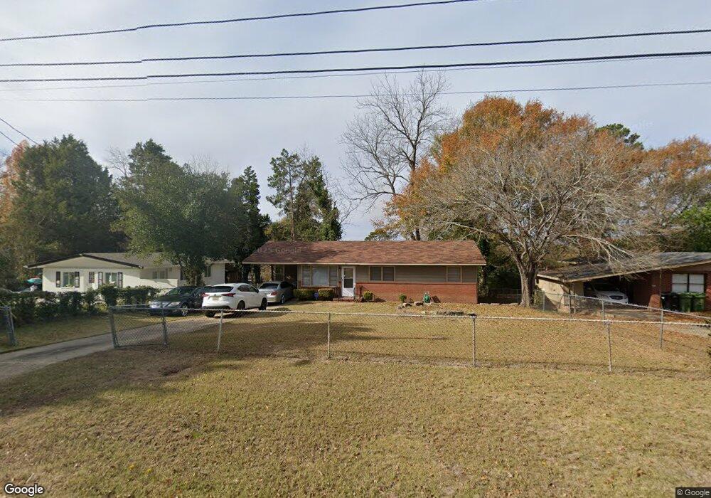
125 Wayside Ave Columbus, GA 31907
East Columbus NeighborhoodEstimated Value: $57,000 - $130,000
3
Beds
1
Bath
1,168
Sq Ft
$83/Sq Ft
Est. Value
About This Home
This home is located at 125 Wayside Ave, Columbus, GA 31907 and is currently estimated at $97,130, approximately $83 per square foot. 125 Wayside Ave is a home located in Muscogee County with nearby schools including Rothschild Leadership Academy, Kendrick High School, and Pinehurst Christian School.
Ownership History
Date
Name
Owned For
Owner Type
Purchase Details
Closed on
Jul 20, 2020
Sold by
Harrington William W
Bought by
Austin Roger
Current Estimated Value
Home Financials for this Owner
Home Financials are based on the most recent Mortgage that was taken out on this home.
Original Mortgage
$32,000
Outstanding Balance
$28,375
Interest Rate
3.1%
Mortgage Type
New Conventional
Estimated Equity
$68,755
Purchase Details
Closed on
Jul 17, 2013
Sold by
Harrington I Eleanor Irene
Bought by
Harrington Eleanor Irene Isom
Create a Home Valuation Report for This Property
The Home Valuation Report is an in-depth analysis detailing your home's value as well as a comparison with similar homes in the area
Home Values in the Area
Average Home Value in this Area
Purchase History
| Date | Buyer | Sale Price | Title Company |
|---|---|---|---|
| Austin Roger | $33,500 | -- | |
| Harrington Eleanor Irene Isom | -- | -- |
Source: Public Records
Mortgage History
| Date | Status | Borrower | Loan Amount |
|---|---|---|---|
| Open | Austin Roger | $32,000 |
Source: Public Records
Tax History
| Year | Tax Paid | Tax Assessment Tax Assessment Total Assessment is a certain percentage of the fair market value that is determined by local assessors to be the total taxable value of land and additions on the property. | Land | Improvement |
|---|---|---|---|---|
| 2025 | $12 | $32,920 | $4,552 | $28,368 |
| 2024 | -- | $32,920 | $4,552 | $28,368 |
| 2023 | $11 | $32,920 | $4,552 | $28,368 |
| 2022 | $11 | $25,468 | $4,552 | $20,916 |
| 2021 | $4 | $13,400 | $4,080 | $9,320 |
| 2020 | $547 | $13,400 | $4,552 | $8,848 |
| 2019 | $549 | $13,400 | $4,552 | $8,848 |
| 2018 | $549 | $13,400 | $4,552 | $8,848 |
| 2017 | $551 | $13,400 | $4,552 | $8,848 |
| 2016 | $561 | $13,600 | $2,800 | $10,800 |
| 2015 | $225 | $13,600 | $2,800 | $10,800 |
| 2014 | $273 | $13,600 | $2,800 | $10,800 |
| 2013 | -- | $17,503 | $2,800 | $14,703 |
Source: Public Records
Map
Nearby Homes
- 4509 Sims St
- 4516 Sims St
- 4525 Sentry St
- 4422 Pate Dr
- 4437 St Marys Rd
- 349 Art Ave
- 59 Apollo Dr
- 4801 Allen St
- 5003 Shirley Ann Dr
- 5021 Shirley Ann Dr
- 392 Olsen Ave
- 391 & 401 Victoria Dr
- 417 Wickham Dr
- 4936 Brightstar Ln
- 538 Lakefront Dr
- 410 McCartha Dr
- 441 Braselman Ave
- 4408 Ridgefield Dr
- 4422 Debolt Ct
- 4224 Ridgefield Ct
- 119 Wayside Ave
- 131 Wayside Ave
- 113 Wayside Ave
- 135 Wayside Ave
- 226 Tennant Ave
- 232 Tennant Ave
- 220 Tennant Ave
- 214 Tennant Ave
- 4704 Sentry St
- 304 Tennant Ave
- 141 Wayside Ave
- 4521 Sims St
- 4515 Sims St
- 310 Tennant Ave
- 4710 Sentry St
- 136 Wayside Ave
- 4713 Sentry St
- 147 Wayside Ave
- 4533 Sims St
- 204 Tennant Ave
Your Personal Tour Guide
Ask me questions while you tour the home.