Estimated Value: $328,068 - $384,000
3
Beds
3
Baths
1,584
Sq Ft
$225/Sq Ft
Est. Value
About This Home
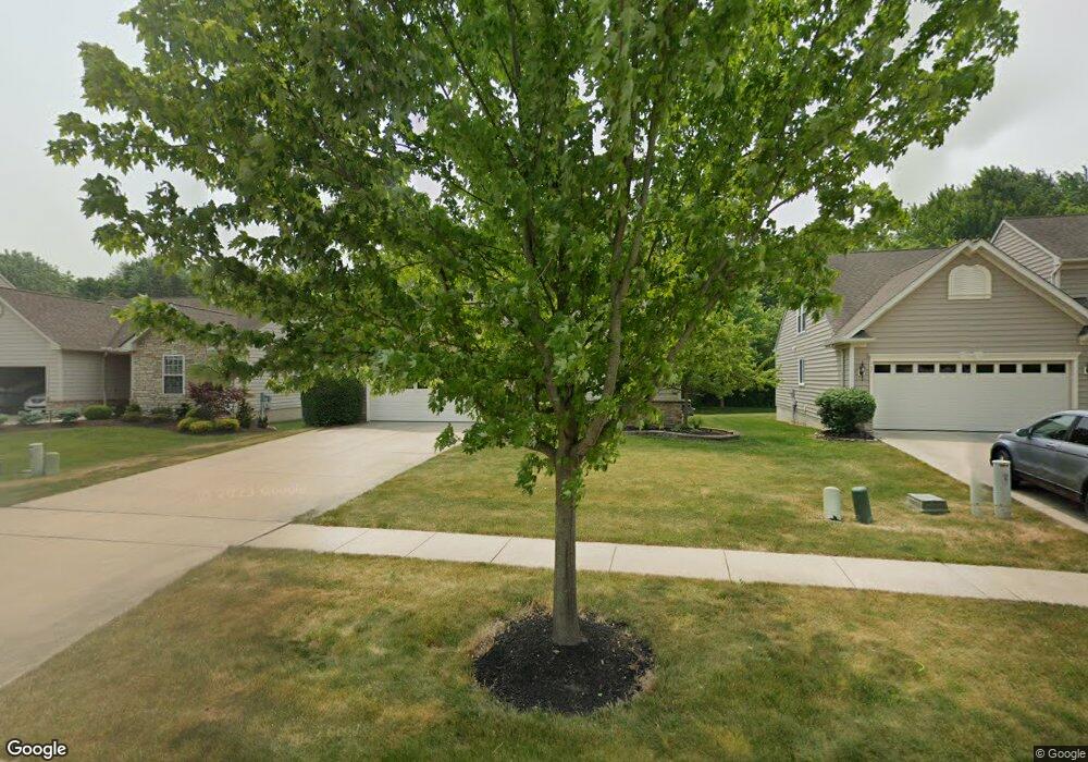
This home is located at 125 Weatherstone Dr, Berea, OH 44017 and is currently estimated at $356,767, approximately $225 per square foot. 125 Weatherstone Dr is a home located in Cuyahoga County with nearby schools including Falls-Lenox Primary Elementary School, Olmsted Falls Intermediate Building, and Olmsted Falls Middle School.
Ownership History
Date
Name
Owned For
Owner Type
Purchase Details
Closed on
Feb 13, 2006
Sold by
Nvr Inc
Bought by
Harris Curtiss L and Harris Shalana M
Current Estimated Value
Home Financials for this Owner
Home Financials are based on the most recent Mortgage that was taken out on this home.
Original Mortgage
$191,200
Outstanding Balance
$105,522
Interest Rate
5.87%
Mortgage Type
Fannie Mae Freddie Mac
Estimated Equity
$251,245
Purchase Details
Closed on
Dec 23, 2005
Sold by
Lopat Development Co Llc
Bought by
Nvr Inc and Ryan Homes
Home Financials for this Owner
Home Financials are based on the most recent Mortgage that was taken out on this home.
Original Mortgage
$191,200
Outstanding Balance
$105,522
Interest Rate
5.87%
Mortgage Type
Fannie Mae Freddie Mac
Estimated Equity
$251,245
Create a Home Valuation Report for This Property
The Home Valuation Report is an in-depth analysis detailing your home's value as well as a comparison with similar homes in the area
Home Values in the Area
Average Home Value in this Area
Purchase History
| Date | Buyer | Sale Price | Title Company |
|---|---|---|---|
| Harris Curtiss L | $201,265 | Nvr Title Agency | |
| Nvr Inc | $39,155 | Nvr Title Agency |
Source: Public Records
Mortgage History
| Date | Status | Borrower | Loan Amount |
|---|---|---|---|
| Open | Harris Curtiss L | $191,200 |
Source: Public Records
Tax History Compared to Growth
Tax History
| Year | Tax Paid | Tax Assessment Tax Assessment Total Assessment is a certain percentage of the fair market value that is determined by local assessors to be the total taxable value of land and additions on the property. | Land | Improvement |
|---|---|---|---|---|
| 2024 | $5,893 | $101,850 | $22,330 | $79,520 |
| 2023 | $5,367 | $77,710 | $20,130 | $57,580 |
| 2022 | $5,333 | $77,700 | $20,130 | $57,580 |
| 2021 | $5,321 | $77,700 | $20,130 | $57,580 |
| 2020 | $5,445 | $70,630 | $18,310 | $52,330 |
| 2019 | $5,300 | $201,800 | $52,300 | $149,500 |
| 2018 | $5,068 | $70,630 | $18,310 | $52,330 |
| 2017 | $5,221 | $64,930 | $15,960 | $48,970 |
| 2016 | $5,183 | $64,930 | $15,960 | $48,970 |
| 2015 | $4,805 | $64,930 | $15,960 | $48,970 |
| 2014 | $4,805 | $63,670 | $15,650 | $48,020 |
Source: Public Records
Map
Nearby Homes
- 228 Stone Ridge Way
- 7587 Lewis Rd
- 260 Stone Ridge Way
- 100 River Rock Way
- 136 River Rock Way Unit D
- 109 Marble Ct
- 0 River Rd Unit 5169658
- 361 Chestnut Dr
- 351 Lombardy Dr
- 281-12-007 River Rd
- 281-12-024 River Rd
- 8241 Lewis Rd
- 7593 Columbia Rd
- V/L Columbia Rd
- 7030 Columbia Rd
- 25725 Cook Rd
- 0
- 3 Dogwood Ln
- 75 Sunset Dr
- 8757 Roberts Ct Unit 25C
- 119 Weatherstone Dr
- 131 Weatherstone Dr
- 113 Weatherstone Dr
- 137 Weatherstone Dr
- 107 Weatherstone Dr
- 126 Weatherstone Dr
- 130 Weatherstone Dr
- 112 Weatherstone Dr
- 138 Weatherstone Dr
- 105 Weatherstone Dr
- 106 Weatherstone Dr
- 150 Weatherstone Dr
- 155 Weatherstone Dr
- 101 Weatherstone Dr
- 124 Bedrock Ct
- 100 Weatherstone Dr
- 201 Sandstone Ridge Way
- 130 Bedrock Ct
- 185 Sandstone Ridge Way
- 119 Bedrock Ct