Estimated Value: $377,000 - $556,000
4
Beds
4
Baths
3,782
Sq Ft
$132/Sq Ft
Est. Value
About This Home
This home is located at 125 Weire Rd, York, PA 17404 and is currently estimated at $498,211, approximately $131 per square foot. 125 Weire Rd is a home located in York County with nearby schools including Northeastern Senior High School and Bible Baptist Christian Academy.
Ownership History
Date
Name
Owned For
Owner Type
Purchase Details
Closed on
Dec 21, 2020
Sold by
Christine Rodney D and Christine Julie
Bought by
Christine Julie
Current Estimated Value
Home Financials for this Owner
Home Financials are based on the most recent Mortgage that was taken out on this home.
Original Mortgage
$100,000
Outstanding Balance
$72,590
Interest Rate
2.7%
Mortgage Type
New Conventional
Estimated Equity
$425,621
Purchase Details
Closed on
Oct 27, 1995
Sold by
Aldinger Lynn E and Aldinger Diane M
Bought by
Christine Rodney D and Christine Julie
Purchase Details
Closed on
Jul 1, 1993
Bought by
Aldinger Lynn E and Aldinger Diane M
Create a Home Valuation Report for This Property
The Home Valuation Report is an in-depth analysis detailing your home's value as well as a comparison with similar homes in the area
Home Values in the Area
Average Home Value in this Area
Purchase History
| Date | Buyer | Sale Price | Title Company |
|---|---|---|---|
| Christine Julie | -- | None Available | |
| Christine Rodney D | $40,000 | -- | |
| Aldinger Lynn E | $28,000 | -- |
Source: Public Records
Mortgage History
| Date | Status | Borrower | Loan Amount |
|---|---|---|---|
| Open | Christine Julie | $100,000 |
Source: Public Records
Tax History Compared to Growth
Tax History
| Year | Tax Paid | Tax Assessment Tax Assessment Total Assessment is a certain percentage of the fair market value that is determined by local assessors to be the total taxable value of land and additions on the property. | Land | Improvement |
|---|---|---|---|---|
| 2025 | $7,967 | $221,680 | $54,150 | $167,530 |
| 2024 | $7,788 | $221,680 | $54,150 | $167,530 |
| 2023 | $7,788 | $221,680 | $54,150 | $167,530 |
| 2022 | $7,739 | $221,680 | $54,150 | $167,530 |
| 2021 | $7,526 | $221,680 | $54,150 | $167,530 |
| 2020 | $7,526 | $221,680 | $54,150 | $167,530 |
| 2019 | $7,426 | $221,680 | $54,150 | $167,530 |
| 2018 | $7,391 | $221,680 | $54,150 | $167,530 |
| 2017 | $7,391 | $221,680 | $54,150 | $167,530 |
| 2016 | $0 | $221,680 | $54,150 | $167,530 |
| 2015 | -- | $221,680 | $54,150 | $167,530 |
| 2014 | -- | $221,680 | $54,150 | $167,530 |
Source: Public Records
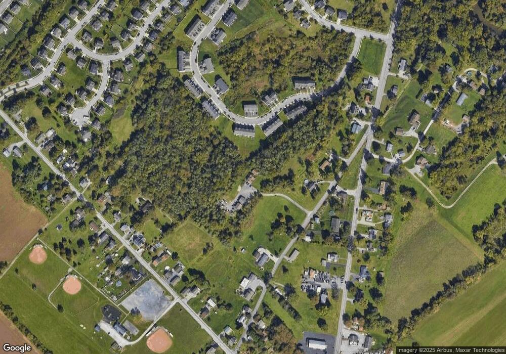
Map
Nearby Homes
- 1145 Stone Gate Dr
- 175 Stone Creek Dr
- 240 Fisher Dr
- 365 Fisher Dr
- 435 Fisher Dr
- 45 Stony Run Way
- 645 Fisher Dr
- 225 E Canal Rd
- Woodford Plan at Welbourne Reserve
- Sebastian Plan at Welbourne Reserve
- Covington Plan at Welbourne Reserve
- Parker Plan at Welbourne Reserve
- Lachlan Plan at Welbourne Reserve
- Harrison Plan at Welbourne Reserve
- Augusta Plan at Welbourne Reserve
- Magnolia Plan at Welbourne Reserve
- Arcadia Plan at Welbourne Reserve
- Andrews Plan at Welbourne Reserve
- Hawthorne Plan at Welbourne Reserve
- Addison Plan at Welbourne Reserve
- 750 Kentwell Dr Unit 42
- 750 Kentwell Dr
- 740 Kentwell Dr Unit 41
- 740 Kentwell Dr
- 730 Kentwell Dr Unit 40
- 730 Kentwell Dr
- 800 Kentwell Dr
- 800 Kentwell Dr Unit 43
- 720 Kentwell Dr Unit 39
- 720 Kentwell Dr
- 710 Kentwell Dr Unit 38
- 710 Kentwell Dr
- 700 Kentwell Dr Unit 710
- 700 Kentwell Dr Unit 37
- 700 Kentwell Dr
- 810 Kentwell Dr Unit 44
- 810 Kentwell Dr
- 820 Kentwell Dr Unit 45
- 820 Kentwell Dr
- 830 Kentwell Dr Unit 46