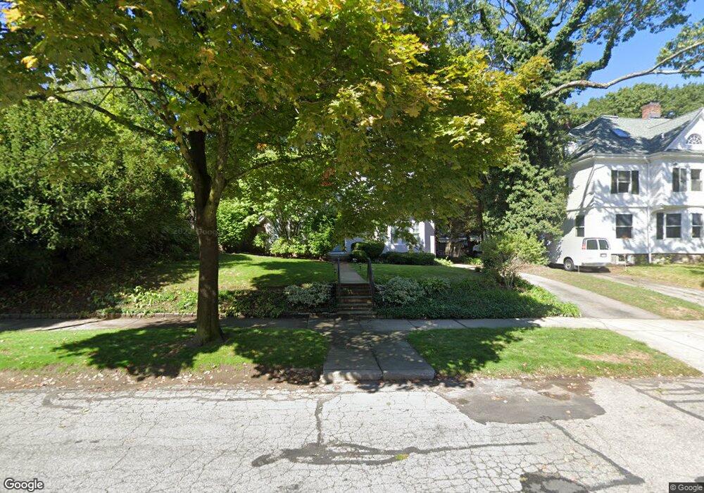
125 Windermere Rd Auburndale, MA 02466
Auburndale NeighborhoodEstimated Value: $1,512,000 - $1,890,000
3
Beds
4
Baths
2,577
Sq Ft
$681/Sq Ft
Est. Value
About This Home
This home is located at 125 Windermere Rd, Auburndale, MA 02466 and is currently estimated at $1,755,016, approximately $681 per square foot. 125 Windermere Rd is a home located in Middlesex County with nearby schools including Williams Elementary School, Charles E Brown Middle School, and Newton South High School.
Ownership History
Date
Name
Owned For
Owner Type
Purchase Details
Closed on
Oct 10, 1990
Sold by
Worth Robert W
Bought by
Machinist Peter
Current Estimated Value
Home Financials for this Owner
Home Financials are based on the most recent Mortgage that was taken out on this home.
Original Mortgage
$312,500
Interest Rate
10.18%
Mortgage Type
Purchase Money Mortgage
Create a Home Valuation Report for This Property
The Home Valuation Report is an in-depth analysis detailing your home's value as well as a comparison with similar homes in the area
Home Values in the Area
Average Home Value in this Area
Purchase History
| Date | Buyer | Sale Price | Title Company |
|---|---|---|---|
| Machinist Peter | $415,000 | -- |
Source: Public Records
Mortgage History
| Date | Status | Borrower | Loan Amount |
|---|---|---|---|
| Open | Machinist Peter | $292,400 | |
| Closed | Machinist Peter | $312,500 | |
| Previous Owner | Machinist Peter | $125,000 |
Source: Public Records
Tax History Compared to Growth
Tax History
| Year | Tax Paid | Tax Assessment Tax Assessment Total Assessment is a certain percentage of the fair market value that is determined by local assessors to be the total taxable value of land and additions on the property. | Land | Improvement |
|---|---|---|---|---|
| 2025 | $13,268 | $1,353,900 | $977,700 | $376,200 |
| 2024 | $12,830 | $1,314,500 | $949,200 | $365,300 |
| 2023 | $12,272 | $1,205,500 | $730,200 | $475,300 |
| 2022 | $11,742 | $1,116,200 | $676,100 | $440,100 |
| 2021 | $11,330 | $1,053,000 | $637,800 | $415,200 |
| 2020 | $10,993 | $1,053,000 | $637,800 | $415,200 |
| 2019 | $10,675 | $1,021,500 | $619,200 | $402,300 |
| 2018 | $0 | $950,000 | $562,000 | $388,000 |
| 2017 | $9,966 | $896,200 | $530,200 | $366,000 |
| 2016 | $9,532 | $837,600 | $495,500 | $342,100 |
| 2015 | $9,088 | $782,800 | $463,100 | $319,700 |
Source: Public Records
Map
Nearby Homes
- 283 Woodland Rd
- 1754 Washington St
- 1639 Washington St
- 17 Gilbert St
- 51 Bourne St
- 1640 Commonwealth Ave
- 13 Weir St
- 224 Auburn St Unit 224
- 224 Auburn St Unit A
- 226 Auburn St Unit 226
- 0 Duncan Rd Unit 72925240
- 17 Lasell St
- 62-64 Rowe St Unit B
- 17 Crescent St
- 10 Crescent St Unit 1
- 10 Crescent St Unit 2
- 10 Ruane Rd
- 283 Melrose St
- 40 Sewall St
- 27 Oakwood Rd
- 125 Windermere Rd Unit 125
- 131 Windermere Rd
- 119 Windermere Rd
- 256 Woodland Rd
- 266 Woodland Rd
- 115 Windermere Rd
- 126 Windermere Rd
- 118 Windermere Rd
- 140 Windermere Rd
- 114 Windermere Rd
- 44 Cheswick Rd
- 105 Windermere Rd
- 244 Woodland Rd
- 1816 Commonwealth Ave
- 1816 Commonwealth Ave Unit 22
- 18 Bonmar Cir
- 1790 Commonwealth Ave
- 290 Woodland Rd
- 30 Cheswick Rd
- 30 Cheswick Rd Unit SF