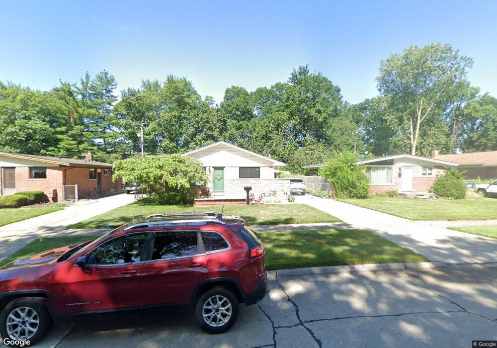
1250 Alvin St Westland, MI 48186
Estimated Value: $187,254 - $237,000
--
Bed
1
Bath
1,007
Sq Ft
$214/Sq Ft
Est. Value
About This Home
This home is located at 1250 Alvin St, Westland, MI 48186 and is currently estimated at $215,564, approximately $214 per square foot. 1250 Alvin St is a home located in Wayne County with nearby schools including Alexander Hamilton Elementary School, Adams Middle School, and Benjamin Franklin Middle School.
Ownership History
Date
Name
Owned For
Owner Type
Purchase Details
Closed on
Oct 15, 2020
Sold by
Marentette Teresa K and Marentette Thomas V
Bought by
Marentette Teresa
Current Estimated Value
Home Financials for this Owner
Home Financials are based on the most recent Mortgage that was taken out on this home.
Original Mortgage
$116,000
Interest Rate
2.9%
Mortgage Type
New Conventional
Create a Home Valuation Report for This Property
The Home Valuation Report is an in-depth analysis detailing your home's value as well as a comparison with similar homes in the area
Home Values in the Area
Average Home Value in this Area
Purchase History
| Date | Buyer | Sale Price | Title Company |
|---|---|---|---|
| Marentette Teresa | -- | Amrock Inc |
Source: Public Records
Mortgage History
| Date | Status | Borrower | Loan Amount |
|---|---|---|---|
| Closed | Marentette Teresa | $116,000 |
Source: Public Records
Tax History Compared to Growth
Tax History
| Year | Tax Paid | Tax Assessment Tax Assessment Total Assessment is a certain percentage of the fair market value that is determined by local assessors to be the total taxable value of land and additions on the property. | Land | Improvement |
|---|---|---|---|---|
| 2025 | $1,942 | $95,700 | $0 | $0 |
| 2024 | $1,942 | $90,900 | $0 | $0 |
| 2023 | $1,855 | $79,900 | $0 | $0 |
| 2022 | $2,177 | $70,500 | $0 | $0 |
| 2021 | $2,122 | $67,300 | $0 | $0 |
| 2020 | $2,099 | $61,500 | $0 | $0 |
| 2019 | $2,023 | $59,300 | $0 | $0 |
| 2018 | $1,526 | $51,900 | $0 | $0 |
| 2017 | $753 | $48,500 | $0 | $0 |
| 2016 | $3,161 | $48,300 | $0 | $0 |
| 2015 | $3,777 | $43,400 | $0 | $0 |
| 2013 | $3,659 | $37,410 | $0 | $0 |
| 2012 | $2,732 | $36,830 | $0 | $0 |
Source: Public Records
Map
Nearby Homes
- 1163 Denice St
- 0000 Barrington Ave
- 32732 Glen St
- 754 Alvin St
- 34114 Avondale St
- 32508 Avondale St
- 711 S Hawthorne St
- 32411 Grandview Ave
- 2075 Alanson St
- 1631 Ackley Ave
- 183 Daniel Ave Unit 6
- 2017 Eastport St
- 34553 Hazelwood St
- 535 S Hubbard St
- 32154 Melton St
- 00000 Cherry Hill Rd
- 32155 Melton St
- 451 Darwin St
- 2119 Emerson St
- 1681 Stieber St