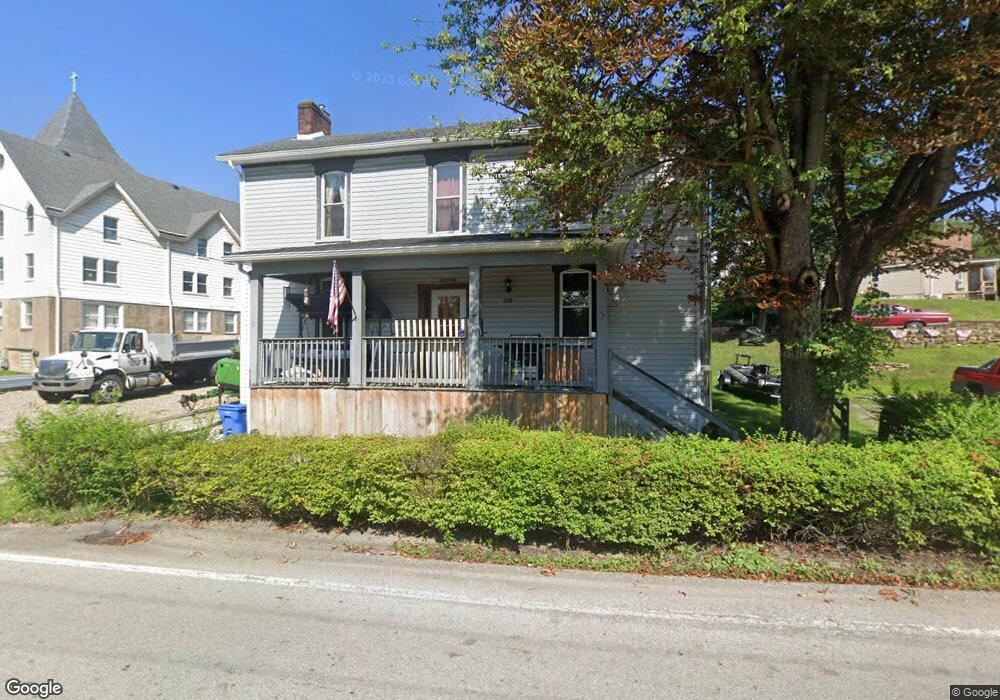
1250 Brownstown Rd Larimer, PA 15647
Estimated Value: $209,000
--
Bed
--
Bath
--
Sq Ft
0.32
Acres
About This Home
This home is located at 1250 Brownstown Rd, Larimer, PA 15647 and is currently estimated at $209,000. 1250 Brownstown Rd is a home located in Westmoreland County with nearby schools including Stewartsville Elementary School, Hillcrest Intermediate School, and Norwin Middle School.
Ownership History
Date
Name
Owned For
Owner Type
Purchase Details
Closed on
Apr 28, 2025
Sold by
Gossar Donald L
Bought by
Connelly Jacob W and Vasko Lindsay S
Current Estimated Value
Purchase Details
Closed on
Oct 14, 2019
Sold by
Gossar Donald L and Gossar Rebecca M
Bought by
Gossar Donald L
Purchase Details
Closed on
Jan 24, 2018
Sold by
Hanan Matthew S and Hanan Donna K
Bought by
Gossar Donald L and Gossar Rebecca M
Purchase Details
Closed on
Aug 26, 2017
Sold by
Etchison Laurence R
Bought by
Hanan Mattew S
Purchase Details
Closed on
Aug 16, 2016
Sold by
The Secretary Of Veterans Affars
Bought by
Etchison Laurence R
Create a Home Valuation Report for This Property
The Home Valuation Report is an in-depth analysis detailing your home's value as well as a comparison with similar homes in the area
Home Values in the Area
Average Home Value in this Area
Purchase History
| Date | Buyer | Sale Price | Title Company |
|---|---|---|---|
| Connelly Jacob W | -- | None Listed On Document | |
| Gossar Donald L | -- | None Available | |
| Gossar Donald L | $7,959 | None Available | |
| Hanan Mattew S | $5,500 | None Available | |
| Etchison Laurence R | $2,900 | None Available |
Source: Public Records
Tax History Compared to Growth
Tax History
| Year | Tax Paid | Tax Assessment Tax Assessment Total Assessment is a certain percentage of the fair market value that is determined by local assessors to be the total taxable value of land and additions on the property. | Land | Improvement |
|---|---|---|---|---|
| 2025 | $170 | $1,290 | $1,290 | $0 |
| 2024 | $162 | $1,290 | $1,290 | $0 |
| 2023 | $76 | $1,290 | $1,290 | $0 |
| 2022 | $152 | $1,290 | $1,290 | $0 |
| 2021 | $152 | $1,290 | $1,290 | $0 |
| 2020 | $149 | $1,290 | $1,290 | $0 |
| 2019 | $145 | $1,290 | $1,290 | $0 |
| 2018 | $142 | $1,290 | $1,290 | $0 |
| 2017 | $139 | $1,290 | $1,290 | $0 |
| 2016 | $134 | $1,290 | $1,290 | $0 |
| 2015 | $134 | $1,290 | $1,290 | $0 |
| 2014 | $1,340 | $13,180 | $1,290 | $11,890 |
Source: Public Records
Map
Nearby Homes
- 1280 Armstrong St
- 11839 Crockett St
- Lot 218 Whitney Chase Ln
- 488 Meadow Rd
- 70 Webster Ave
- 11006 Hunters Woods Ln
- 64 Penn Ave
- 0 Hunters Wood Ln
- 3132 Baker School Rd
- 38 Penn Ave
- 17 Webster Ave
- 545 Westmoreland Ave
- 6 Lincoln Ave
- 10748 Crestview Dr
- 62 1st St
- 10970 Old Trail Rd
- 10928 Old Trail Rd
- 10802 Airview Dr
- 10780 Old Trail Rd
- 2620 Bickerstaff Rd
- 1260 Brownstown Rd
- 11682 Maple Ln
- 11928 Maple Ln
- 11649 Maple Ln
- 11629 Maple Ln
- 11609 Maple Ln
- 1249 Brownstown Rd
- 4014 Sr
- 11889 Shannon Dr
- 11689 Maple Ln
- 505-507 Sewickley Ave
- 11580 Route 993
- 1240 Armstrong St
- 11879 Shannon Dr
- 1250 Armstrong St
- 11880 Shannon St
- 1160 Pine St
- 1180 Pine St
- 1260 Armstrong St
- 11781 Railroad St