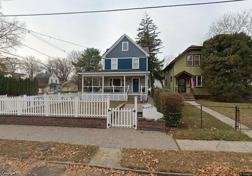
1250 Cameron Ave Unit 52 Plainfield, NJ 07060
Estimated Value: $407,077 - $544,000
4
Beds
2
Baths
1,481
Sq Ft
$323/Sq Ft
Est. Value
About This Home
This home is located at 1250 Cameron Ave Unit 52, Plainfield, NJ 07060 and is currently estimated at $478,769, approximately $323 per square foot. 1250 Cameron Ave Unit 52 is a home located in Union County with nearby schools including Cedarbrook K-8 Center, Hubbard Middle School, and Plainfield High School.
Ownership History
Date
Name
Owned For
Owner Type
Purchase Details
Closed on
Sep 28, 2018
Sold by
Carolina Laverne and Lee George W
Bought by
Andrade Steven M and Andrade Mario M
Current Estimated Value
Home Financials for this Owner
Home Financials are based on the most recent Mortgage that was taken out on this home.
Original Mortgage
$180,000
Outstanding Balance
$156,971
Interest Rate
4.5%
Mortgage Type
New Conventional
Estimated Equity
$321,798
Create a Home Valuation Report for This Property
The Home Valuation Report is an in-depth analysis detailing your home's value as well as a comparison with similar homes in the area
Home Values in the Area
Average Home Value in this Area
Purchase History
| Date | Buyer | Sale Price | Title Company |
|---|---|---|---|
| Andrade Steven M | $225,000 | Westcor Land Title Ins Co |
Source: Public Records
Mortgage History
| Date | Status | Borrower | Loan Amount |
|---|---|---|---|
| Open | Andrade Steven M | $180,000 |
Source: Public Records
Tax History
| Year | Tax Paid | Tax Assessment Tax Assessment Total Assessment is a certain percentage of the fair market value that is determined by local assessors to be the total taxable value of land and additions on the property. | Land | Improvement |
|---|---|---|---|---|
| 2025 | $8,758 | $100,300 | $32,000 | $68,300 |
| 2024 | $8,672 | $100,300 | $32,000 | $68,300 |
| 2023 | $8,672 | $100,300 | $32,000 | $68,300 |
| 2022 | $8,484 | $100,300 | $32,000 | $68,300 |
| 2021 | $8,410 | $100,300 | $32,000 | $68,300 |
| 2020 | $8,386 | $100,300 | $32,000 | $68,300 |
| 2019 | $8,386 | $100,300 | $32,000 | $68,300 |
| 2018 | $8,211 | $100,300 | $32,000 | $68,300 |
| 2017 | $8,010 | $100,300 | $32,000 | $68,300 |
| 2016 | $7,846 | $100,300 | $32,000 | $68,300 |
| 2015 | $7,615 | $100,300 | $32,000 | $68,300 |
| 2014 | $7,408 | $100,300 | $32,000 | $68,300 |
Source: Public Records
Map
Nearby Homes
- 1209 Arlington Ave Unit B
- 1209 Rose St Unit 13
- 1065 Rose St Unit 69
- 78-80 Parkside Rd
- 1136 Hillside Ave
- 1369 Florence Ave Unit 73
- 957 Central Ave Unit 63
- 944 Madison Ave Unit 46
- 1365 Marlborough Ave
- 1039-41 Field Ave
- 1039 Field Ave Unit 41
- 1454 S End Pkwy Unit 56
- 911 13 Plainfield Ave
- 911 Plainfield Ave Unit 13
- 966 Hillside Ave Unit 76
- 1712 Kenyon Ave
- 1716 Kenyon Ave
- 720 Madison Ave Unit 22
- 1200-06 Watchung Ave
- 614-34 W 8th St Unit 15
- 1252 Cameron Ave
- 1246 Cameron Ave Unit 48
- 1242 Cameron Ave Unit 44
- 1257 Arlington Ave Unit 59
- 1257-59 Arlington Ave
- 75 Laramie Rd Unit 77
- 69-71 Laramie Rd
- 69 Laramie Rd Unit 71
- 1238 Cameron Ave Unit 40
- 73 Laramie Rd
- 67 Laramie Rd
- 1247 Arlington Ave Unit 1255
- 1247-1255 Arlington Ave
- 1249 Cameron Ave Unit 51
- 61 Laramie Rd Unit 63
- 65 Laramie Rd
- 79 Laramie Rd Unit 83
- 1245 Cameron Ave Unit 47
- 1234 Cameron Ave Unit 36
- 1241 Cameron Ave Unit 43
Your Personal Tour Guide
Ask me questions while you tour the home.