1250 Coast Guard Rd Block Island, RI 02807
Estimated Value: $3,894,663 - $6,826,000
4
Beds
3
Baths
3,471
Sq Ft
$1,495/Sq Ft
Est. Value
About This Home
This home is located at 1250 Coast Guard Rd, Block Island, RI 02807 and is currently estimated at $5,187,888, approximately $1,494 per square foot. 1250 Coast Guard Rd is a home with nearby schools including Block Island School.
Ownership History
Date
Name
Owned For
Owner Type
Purchase Details
Closed on
Aug 6, 2015
Sold by
Gorton Mark and Gorton Jody
Bought by
Gorton Mark
Current Estimated Value
Purchase Details
Closed on
Oct 5, 2012
Sold by
The Cormoroant Cove T
Bought by
Gorton Mark and Gorton Jody
Create a Home Valuation Report for This Property
The Home Valuation Report is an in-depth analysis detailing your home's value as well as a comparison with similar homes in the area
Home Values in the Area
Average Home Value in this Area
Purchase History
| Date | Buyer | Sale Price | Title Company |
|---|---|---|---|
| Gorton Mark | -- | -- | |
| Gorton Mark | $4,200,000 | -- |
Source: Public Records
Tax History Compared to Growth
Tax History
| Year | Tax Paid | Tax Assessment Tax Assessment Total Assessment is a certain percentage of the fair market value that is determined by local assessors to be the total taxable value of land and additions on the property. | Land | Improvement |
|---|---|---|---|---|
| 2024 | $25,457 | $4,611,800 | $2,404,700 | $2,207,100 |
| 2023 | $27,763 | $4,611,800 | $2,404,700 | $2,207,100 |
| 2022 | $22,237 | $3,140,880 | $1,462,400 | $1,678,480 |
| 2021 | $21,044 | $3,140,880 | $1,462,400 | $1,678,480 |
| 2020 | $19,976 | $3,140,880 | $1,462,400 | $1,678,480 |
| 2019 | $19,315 | $3,135,600 | $1,462,400 | $1,673,200 |
| 2018 | $18,094 | $3,040,960 | $1,462,400 | $1,578,560 |
| 2017 | $17,820 | $3,040,960 | $1,462,400 | $1,578,560 |
| 2016 | $17,394 | $3,040,960 | $1,462,400 | $1,578,560 |
| 2015 | $21,328 | $3,870,800 | $1,828,000 | $2,042,800 |
| 2014 | $20,670 | $3,870,800 | $1,828,000 | $2,042,800 |
| 2013 | $20,167 | $3,870,800 | $1,828,000 | $2,042,800 |
Source: Public Records
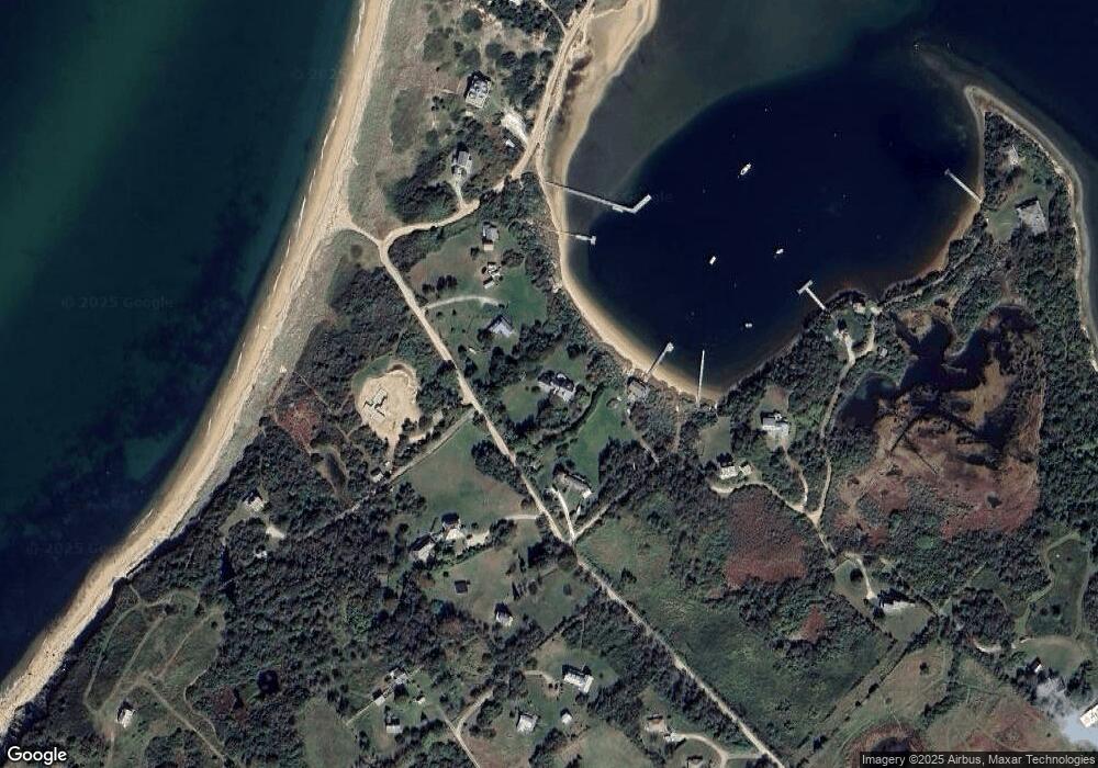
Map
Nearby Homes
- 0 Coast Guard Rd
- 1210 Graces Cove Rd
- 1557 W Side Rd
- 1501 Beacon Hill Rd
- 1743 Corn Neck Rd
- 1713 Corn Neck Rd
- 1720 Corn Neck Rd
- 721 Corn Neck Rd
- 1596 W Side Rd
- 1078 W Beach Rd
- 481 Old Town Rd
- 256 High St
- 1087 Lakeside Dr
- 1289 High St
- 1328 Cooneymus Rd
- 194 Pilot Hill Rd
- 1661 Sand Pond Rd
- 751 Corn Neck Rd
- 0 Snake Hole Rd
- 1448 Mohegan Trail
- 1250 Champlin Rd
- 927 Coast Guard Rd
- 920 Coast Guard Rd
- 1136 Cormorant Cove
- 1048 Coast Guard Rd
- 928 Coast Guard Rd
- 923 Cormorant Cove
- 917 Off Champlin Rd
- 1047 Coast Guard Rd
- 1942 Coast Guard Rd
- 929 Champlin Rd
- 929 Coast Guard Rd
- 1280 Cormorant Cove
- 1258 Coast Guard Rd
- 922 Cormorant Cove
- 931 Coast Guard Rd
- 926 Coast Guard Rd
- 906 Coast Guard Rd
- 925 Coast Guard Rd
- 911 Coast Guard Rd