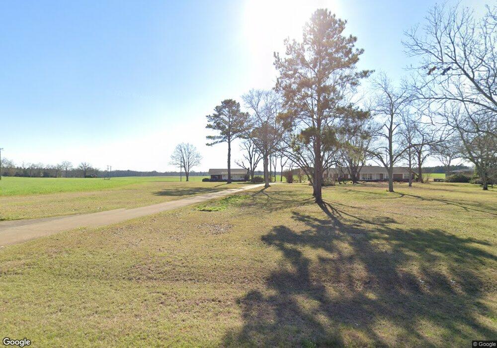
1250 Ga Highway 520 Weston, GA 31832
Estimated Value: $222,000 - $343,000
4
Beds
3
Baths
3,564
Sq Ft
$79/Sq Ft
Est. Value
About This Home
This home is located at 1250 Ga Highway 520, Weston, GA 31832 and is currently estimated at $282,171, approximately $79 per square foot. 1250 Ga Highway 520 is a home with nearby schools including Webster County Elementary/Middle School and Webster County High School.
Ownership History
Date
Name
Owned For
Owner Type
Purchase Details
Closed on
Nov 20, 2020
Sold by
Plott Family Farms Llc
Bought by
Echols William Ray and Miller Melissa Ann
Current Estimated Value
Home Financials for this Owner
Home Financials are based on the most recent Mortgage that was taken out on this home.
Original Mortgage
$200,795
Outstanding Balance
$177,647
Interest Rate
2.8%
Mortgage Type
FHA
Estimated Equity
$104,524
Purchase Details
Closed on
Apr 25, 2016
Sold by
Adela Farms Llc
Bought by
Plott Fam Farms Llc
Purchase Details
Closed on
Jul 12, 2014
Sold by
Brightwell Larry Eugene
Bought by
Adela Farms Llc
Purchase Details
Closed on
Jul 14, 2010
Sold by
Brightwell Belle Powell
Bought by
Brightwell Larry E
Create a Home Valuation Report for This Property
The Home Valuation Report is an in-depth analysis detailing your home's value as well as a comparison with similar homes in the area
Home Values in the Area
Average Home Value in this Area
Purchase History
| Date | Buyer | Sale Price | Title Company |
|---|---|---|---|
| Echols William Ray | $204,500 | -- | |
| Plott Fam Farms Llc | $30,000 | -- | |
| Adela Farms Llc | $198,668 | -- | |
| Brightwell Larry E | -- | -- |
Source: Public Records
Mortgage History
| Date | Status | Borrower | Loan Amount |
|---|---|---|---|
| Open | Echols William Ray | $200,795 |
Source: Public Records
Tax History Compared to Growth
Tax History
| Year | Tax Paid | Tax Assessment Tax Assessment Total Assessment is a certain percentage of the fair market value that is determined by local assessors to be the total taxable value of land and additions on the property. | Land | Improvement |
|---|---|---|---|---|
| 2024 | $2,825 | $81,840 | $3,480 | $78,360 |
| 2023 | $2,111 | $81,840 | $3,480 | $78,360 |
| 2022 | $2,118 | $81,240 | $3,480 | $77,760 |
| 2021 | $2,150 | $81,240 | $3,480 | $77,760 |
| 2020 | $1,322 | $49,960 | $3,720 | $46,240 |
| 2019 | $1,322 | $49,960 | $3,720 | $46,240 |
| 2018 | $1,322 | $49,960 | $3,720 | $46,240 |
| 2017 | $1,322 | $49,960 | $3,720 | $46,240 |
| 2016 | $1,349 | $50,960 | $4,720 | $46,240 |
| 2015 | -- | $49,960 | $3,720 | $46,240 |
| 2014 | -- | $49,960 | $3,720 | $46,240 |
| 2013 | -- | $49,960 | $3,720 | $46,240 |
Source: Public Records
Map
Nearby Homes
- 2055 Payne Pond Rd
- 6310 Georgia 520
- 115 Deer Camp Rd
- 3649 Benevolence Hwy
- 0 Cattle Gap Rd
- 0 U S Highway 280
- 109 Cattle Gap Rd
- 000 Broad St
- 213 Broad St
- 0 Broad St Unit 10460253
- 3176 E Centerpoint Rd
- 1469 Wall St
- 10200 U S Highway 280
- 2373 Moncus Rd
- 6605 Pearl St
- 13990 Ga Highway 27
- 0 Peach Orchard Rd
- 0 Liberty St Unit 10517245
- 0 Liberty St Unit 10517236
- 0 Rd