1250 Gilliland Rd Springtown, TX 76082
Estimated Value: $939,000
3
Beds
4
Baths
3,118
Sq Ft
$301/Sq Ft
Est. Value
About This Home
This home is located at 1250 Gilliland Rd, Springtown, TX 76082 and is currently estimated at $939,000, approximately $301 per square foot. 1250 Gilliland Rd is a home located in Parker County with nearby schools including Goshen Creek Elementary School, Springtown Middle School, and Springtown Intermediate School.
Ownership History
Date
Name
Owned For
Owner Type
Purchase Details
Closed on
Nov 9, 2016
Sold by
Williams Bonnye
Bought by
Jones Ken and Jones Renee
Current Estimated Value
Purchase Details
Closed on
Oct 12, 2004
Sold by
Driver Paul Daniel
Bought by
Jones Ken and Jones Renee
Purchase Details
Closed on
Aug 16, 1996
Bought by
Jones Ken and Jones Renee
Purchase Details
Closed on
Jan 1, 1901
Bought by
Jones Ken and Jones Renee
Create a Home Valuation Report for This Property
The Home Valuation Report is an in-depth analysis detailing your home's value as well as a comparison with similar homes in the area
Home Values in the Area
Average Home Value in this Area
Purchase History
| Date | Buyer | Sale Price | Title Company |
|---|---|---|---|
| Jones Ken | -- | -- | |
| Jones Ken | -- | -- | |
| Jones Ken | -- | -- | |
| Jones Ken | -- | -- | |
| Jones Ken | -- | -- |
Source: Public Records
Tax History Compared to Growth
Tax History
| Year | Tax Paid | Tax Assessment Tax Assessment Total Assessment is a certain percentage of the fair market value that is determined by local assessors to be the total taxable value of land and additions on the property. | Land | Improvement |
|---|---|---|---|---|
| 2025 | $7,434 | $692,200 | $26,000 | $666,200 |
| 2024 | $7,434 | $650,746 | -- | -- |
| 2023 | $7,434 | $592,360 | $0 | $0 |
| 2022 | $9,602 | $538,510 | $10,000 | $528,510 |
| 2021 | $10,423 | $538,510 | $10,000 | $528,510 |
| 2020 | $10,248 | $531,160 | $7,000 | $524,160 |
| 2019 | $11,015 | $531,160 | $7,000 | $524,160 |
| 2018 | $11,091 | $533,180 | $5,200 | $527,980 |
| 2017 | $7,627 | $349,900 | $5,200 | $344,700 |
| 2016 | $5,779 | $277,550 | $5,200 | $272,350 |
| 2015 | $4,823 | $277,550 | $5,200 | $272,350 |
| 2014 | $4,547 | $219,130 | $4,700 | $214,430 |
Source: Public Records
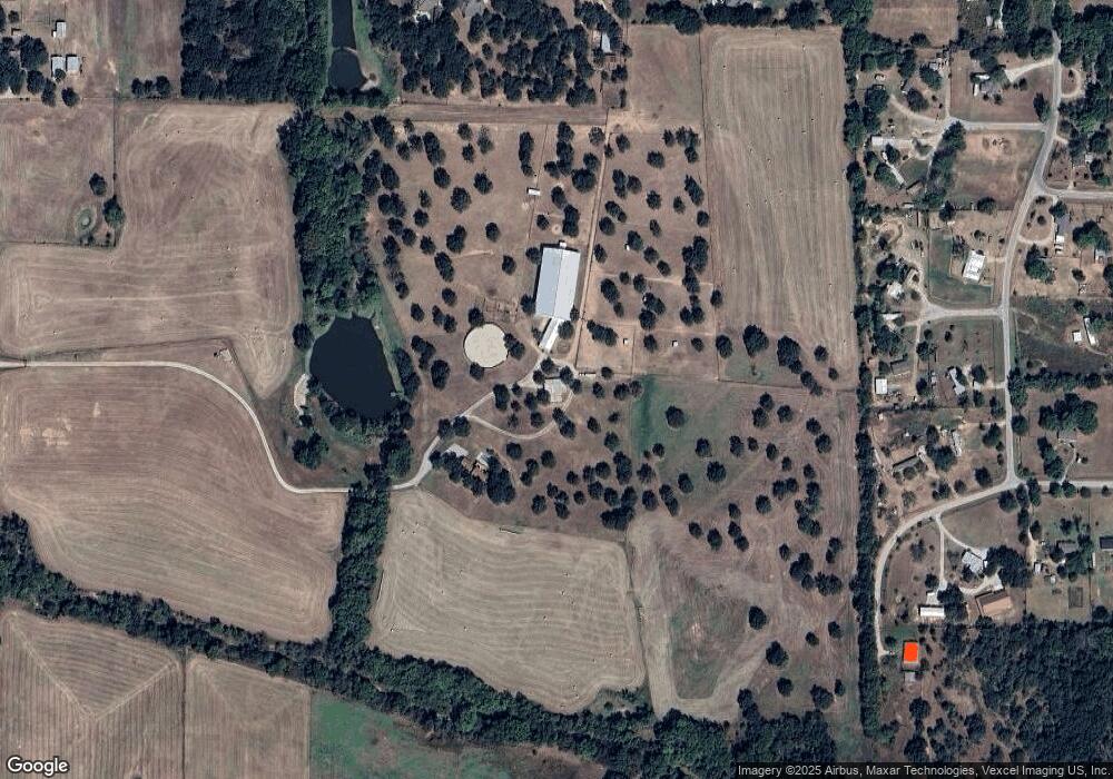
Map
Nearby Homes
- 140 Flying Diamond Dr
- 2900 Peel Rd
- 2411 Peel Rd
- 1000 Hennesay Park
- 1004 Hennesay Park
- 1016 Hennesay Park
- 510 Peel Rd
- 2764 W Highway 199
- 1025 Summit Dr
- 1035 Summit Dr
- 525 Ford Flats
- The Carter Plan at The Ranches at Valley View
- The Aubrey Plan at The Ranches at Valley View
- The Bradford Plan at The Ranches at Valley View
- 1008 Ronnie Ct
- 1017 Ronnie Ct
- The Sydney Plan at The Ranches at Valley View
- The Sapphire Ranch II Plan at The Ranches at Valley View
- 1991 Johnnie Dr
- 2000 Atticus Ct
- 156 Flying Diamond Dr
- 131 Valley Ct
- 740 Meadow Rd
- 795 Meadow Rd
- 152 Flying Diamond Dr
- 721 Meadow Rd
- 612 Meadow Rd
- 2960 Holbrook Rd
- 0 Gilliland Rd
- 153 Terrace Ct
- 3160 Holbrook Rd
- 148 Flying Diamond Dr
- 520 Meadow Rd
- 1235 Gilliland Rd
- 132 Wayward Wind Ln
- 128 Wayward Wind Ln
- 1357 Gilliland Rd
- 146 Terrace Ct
- 3107 Holbrook Rd
- 2850 Holbrook Rd