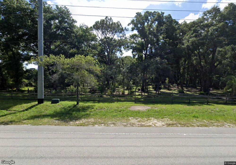
1250 Hamilton Ave Orange City, FL 32763
Estimated Value: $336,000 - $675,026
3
Beds
2
Baths
1,842
Sq Ft
$247/Sq Ft
Est. Value
About This Home
This home is located at 1250 Hamilton Ave, Orange City, FL 32763 and is currently estimated at $455,507, approximately $247 per square foot. 1250 Hamilton Ave is a home located in Volusia County with nearby schools including Orange City Elementary School, River Springs Middle School, and University High School.
Ownership History
Date
Name
Owned For
Owner Type
Purchase Details
Closed on
May 11, 2005
Sold by
Gregory Albert Wayne
Bought by
Gregory Albert Wayne and Albert Wayne Gregory Revocable Trust
Current Estimated Value
Purchase Details
Closed on
Jun 15, 1988
Bought by
Gregory Albert Wayne Tr
Purchase Details
Closed on
Jan 15, 1983
Bought by
Gregory Albert Wayne Tr
Purchase Details
Closed on
Jun 15, 1982
Bought by
Gregory Albert Wayne Tr
Create a Home Valuation Report for This Property
The Home Valuation Report is an in-depth analysis detailing your home's value as well as a comparison with similar homes in the area
Home Values in the Area
Average Home Value in this Area
Purchase History
| Date | Buyer | Sale Price | Title Company |
|---|---|---|---|
| Gregory Albert Wayne | -- | -- | |
| Gregory Albert Wayne Tr | $25,000 | -- | |
| Gregory Albert Wayne Tr | $100 | -- | |
| Gregory Albert Wayne Tr | $100 | -- |
Source: Public Records
Tax History Compared to Growth
Tax History
| Year | Tax Paid | Tax Assessment Tax Assessment Total Assessment is a certain percentage of the fair market value that is determined by local assessors to be the total taxable value of land and additions on the property. | Land | Improvement |
|---|---|---|---|---|
| 2025 | $2,998 | $202,161 | -- | -- |
| 2024 | $2,998 | $196,464 | -- | -- |
| 2023 | $2,998 | $190,742 | $0 | $0 |
| 2022 | $2,935 | $185,186 | $0 | $0 |
| 2021 | $3,037 | $179,792 | $0 | $0 |
| 2020 | $2,992 | $177,310 | $0 | $0 |
| 2019 | $3,084 | $173,324 | $0 | $0 |
| 2018 | $3,074 | $170,092 | $0 | $0 |
| 2017 | $3,076 | $166,594 | $0 | $0 |
| 2016 | $2,938 | $163,167 | $0 | $0 |
| 2015 | $2,995 | $162,033 | $0 | $0 |
| 2014 | $2,193 | $126,829 | $0 | $0 |
Source: Public Records
Map
Nearby Homes
- 0 14th St Unit 11570263
- 0 14th St Unit MFRS5133079
- 1145 15th St
- 0 18th St Unit MFRV4933632
- 2485 Blue Ridge Ave
- 0 Blue Ridge Ave
- 1171 9th St
- 1600 Ace Park Dr
- 940 W Minnesota Ave
- 1261 10th St
- 1275 10th St
- 0 Strickland Ave
- 00 7th St
- 0 10th St Unit MFRV4941473
- 1344 18th St
- 851 W Wisconsin Ave
- 1395 Deland Ave
- 0 9th St
- 1425 13th St
- 1450 14th St
- 0 14th St Unit O5553840
- 0 14th St Unit 11414420
- 0 14th St Unit MFRS5119054
- 0 14th St Unit MFRC7495090
- 0 14th St Unit 1075001
- 0 14th St Unit 1011211
- 0 14th St Unit MFROM667618
- 0 14th St Unit O6093347
- 0 14th St Unit O6067045
- 0 14th St Unit V4917631
- 0 14th St Unit O5825426
- 0 15th St Unit V4900927
- 0 15th St Unit V4900926
- 0 15th St Unit 1066419
- 0 15th St Unit MFRO6167000
- 0 15th St Unit MFRV4932762
- 0 15th St Unit V4921823
- 0 15th St Unit GC376698
- 0 15th St Unit O5943189
- 0 15th St Unit V4911465
