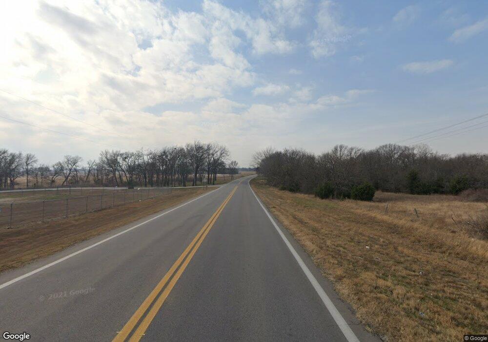
1250 Highway 32 Kingston, OK 73439
Estimated Value: $43,000 - $294,000
3
Beds
2
Baths
2,356
Sq Ft
$73/Sq Ft
Est. Value
About This Home
This home is located at 1250 Highway 32, Kingston, OK 73439 and is currently estimated at $172,869, approximately $73 per square foot. 1250 Highway 32 is a home located in Marshall County with nearby schools including Kingston Middle School and Kingston High School.
Ownership History
Date
Name
Owned For
Owner Type
Purchase Details
Closed on
Apr 4, 2025
Sold by
Slayton Luann A
Bought by
Cabrera Samuel Perez and Perez Erika
Current Estimated Value
Purchase Details
Closed on
Mar 8, 2024
Sold by
Voyles Michael and Voyles Linda
Bought by
Slayton Luann A
Home Financials for this Owner
Home Financials are based on the most recent Mortgage that was taken out on this home.
Original Mortgage
$45,000
Interest Rate
6.63%
Mortgage Type
New Conventional
Purchase Details
Closed on
Dec 23, 2022
Sold by
Gibby Donna Jean
Bought by
Augh David R
Purchase Details
Closed on
Apr 26, 2013
Sold by
Turner Michael D
Bought by
Voyles Michael and Voyles Linda
Home Financials for this Owner
Home Financials are based on the most recent Mortgage that was taken out on this home.
Original Mortgage
$32,000
Interest Rate
7%
Mortgage Type
New Conventional
Create a Home Valuation Report for This Property
The Home Valuation Report is an in-depth analysis detailing your home's value as well as a comparison with similar homes in the area
Home Values in the Area
Average Home Value in this Area
Purchase History
| Date | Buyer | Sale Price | Title Company |
|---|---|---|---|
| Cabrera Samuel Perez | $40,000 | First American Title | |
| Cabrera Samuel Perez | $40,000 | First American Title | |
| Slayton Luann A | $56,000 | Marshall County Abstract | |
| Augh David R | -- | -- | |
| Voyles Michael | $40,000 | None Available |
Source: Public Records
Mortgage History
| Date | Status | Borrower | Loan Amount |
|---|---|---|---|
| Previous Owner | Slayton Luann A | $45,000 | |
| Previous Owner | Voyles Michael | $32,000 |
Source: Public Records
Tax History Compared to Growth
Tax History
| Year | Tax Paid | Tax Assessment Tax Assessment Total Assessment is a certain percentage of the fair market value that is determined by local assessors to be the total taxable value of land and additions on the property. | Land | Improvement |
|---|---|---|---|---|
| 2024 | $915 | $11,166 | $1,627 | $9,539 |
| 2023 | $767 | $10,543 | $1,389 | $9,154 |
| 2022 | $736 | $10,236 | $1,389 | $8,847 |
| 2021 | $731 | $10,209 | $4,041 | $6,168 |
| 2020 | $711 | $9,913 | $3,894 | $6,019 |
| 2019 | $692 | $9,624 | $3,699 | $5,925 |
| 2018 | $673 | $9,343 | $3,438 | $5,905 |
| 2017 | $646 | $9,072 | $3,191 | $5,881 |
| 2016 | $627 | $8,807 | $2,791 | $6,016 |
| 2015 | $364 | $5,513 | $2,868 | $2,645 |
| 2014 | $434 | $5,352 | $959 | $4,393 |
Source: Public Records
Map
Nearby Homes
- 8973 Birch St
- 8775 Leonard St
- 7581 Little Buck Ln
- 7542 Big Buck Ln
- 000 Apple St
- 8565 Lorene St
- 0 A St Unit 2524582
- 0 A St Unit 2510015
- 1522 Beach Ave
- 7172 C St
- 8913 Pear St
- 7035 A St
- 8813 Soldier Creek Rd
- 9094 Waters Edge
- 8353 Knobb Rd
- 6859 Magnolia Dr
- 8683 Lake View Dr
- 8773 Lake View Dr
- 8653 Lake View Dr
- 8795 Lake View Dr
- 1339 Kaney Rd
- 1453 Weaver Dr
- 2186 Susie Ln
- 1703 Iona St
- 1727 Iona St
- 2036 Mcbride Cir
- 2032 Mcbride Cir
- 2027 Mcbride Cir
- 2023 Mcbride Cir
- 2019 Mcbride Cir
- 2015 Mcbride Cir
- 2055 Lakeshore Rd
- 2064 Lakeshore Dr
- 1954 Willis Ave
- 1961 Willis Ave
- 1937 Willis Ave
- 1778 Knobb Rd
- 1782 Knobb Rd
- 1790 Knobb Rd
- 1471 Weldon St
