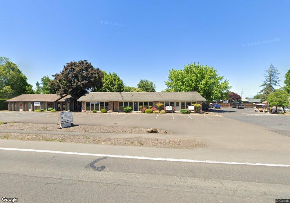
1250 Main St E Monmouth, OR 97361
Estimated Value: $535,546
--
Bed
--
Bath
2,750
Sq Ft
$195/Sq Ft
Est. Value
About This Home
This home is located at 1250 Main St E, Monmouth, OR 97361 and is currently estimated at $535,546, approximately $194 per square foot. 1250 Main St E is a home located in Polk County with nearby schools including Monmouth Elementary School, Talmadge Middle School, and Central High School.
Ownership History
Date
Name
Owned For
Owner Type
Purchase Details
Closed on
May 15, 2009
Sold by
Stanley Venture Monmouth Llc
Bought by
Central Polk Properties Llc
Current Estimated Value
Home Financials for this Owner
Home Financials are based on the most recent Mortgage that was taken out on this home.
Original Mortgage
$170,000
Interest Rate
4.71%
Mortgage Type
Seller Take Back
Purchase Details
Closed on
Feb 19, 2004
Sold by
Killen Vining Stanley Llc
Bought by
Stanley Venture Monmouth Llc
Create a Home Valuation Report for This Property
The Home Valuation Report is an in-depth analysis detailing your home's value as well as a comparison with similar homes in the area
Home Values in the Area
Average Home Value in this Area
Purchase History
| Date | Buyer | Sale Price | Title Company |
|---|---|---|---|
| Central Polk Properties Llc | $230,000 | Amerititle | |
| Stanley Venture Monmouth Llc | -- | -- |
Source: Public Records
Mortgage History
| Date | Status | Borrower | Loan Amount |
|---|---|---|---|
| Closed | Central Polk Properties Llc | $170,000 |
Source: Public Records
Tax History Compared to Growth
Tax History
| Year | Tax Paid | Tax Assessment Tax Assessment Total Assessment is a certain percentage of the fair market value that is determined by local assessors to be the total taxable value of land and additions on the property. | Land | Improvement |
|---|---|---|---|---|
| 2025 | $4,153 | $251,940 | $67,550 | $184,390 |
| 2024 | $4,153 | $244,610 | $65,580 | $179,030 |
| 2023 | $4,327 | $237,490 | $63,670 | $173,820 |
| 2022 | $3,894 | $230,580 | $61,820 | $168,760 |
| 2021 | $3,849 | $223,870 | $60,010 | $163,860 |
| 2020 | $3,697 | $217,350 | $58,260 | $159,090 |
| 2019 | $3,589 | $211,020 | $56,560 | $154,460 |
| 2018 | $3,466 | $204,880 | $54,910 | $149,970 |
| 2017 | $3,447 | $198,920 | $53,310 | $145,610 |
| 2016 | $3,521 | $193,130 | $51,760 | $141,370 |
| 2015 | -- | $187,510 | $50,250 | $137,260 |
Source: Public Records
Map
Nearby Homes
- 1329 Price Ln E
- 235 Edwards (#104) Rd S Unit 104
- 151 Edwards (#46) Rd S Unit 46
- 151 S Edwards (151) Rd
- 101 Edwards Rd S Unit 10-B Rd S
- 1082 Alberta Ave E
- 277 Edwards Rd S
- 277 Edwards Rd S Unit 133
- 309 Atwater St S
- 355 Jacobson Ct S
- 858 Main St E
- 1370 Bentley St E
- 235 Edwards Rd S Unit 104
- 416 Yellowstone Dr S
- 141 S 17th St Unit 61 St
- 141 S 17th St Unit 70 St
- 141 17th (#7) St S Unit 7
- 1390 Gwinn St E
- 1176 Gwinn St E
- 555 High St N
- 140 Killen Ct
- 1220 Main St E
- 154 Killen Ct
- 157 Killen Ct
- 159 Cottonwood Ct N
- 178 Killen Ct
- 1309 Price Ln E
- 179 Killen Ct
- 1206 Main St E
- 1299 Main St E
- 1299 Main St E
- 1299 Main St E
- 130 Cottonwood Ct N
- 177 Cottonwood Ct N
- 1205 Main St E
- 1205 Main St E
- 0 Martin Way S Unit 79
- 0 Martin Way S Unit 79 10048687
- 1310 Main St E
- 1308 Price Ln E