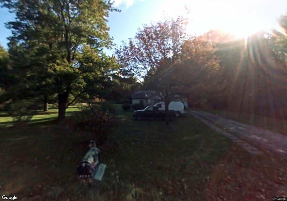
1250 Mayer Rd Kimball, MI 48074
Estimated Value: $148,983 - $277,000
2
Beds
1
Bath
900
Sq Ft
$208/Sq Ft
Est. Value
About This Home
This home is located at 1250 Mayer Rd, Kimball, MI 48074 and is currently estimated at $187,496, approximately $208 per square foot. 1250 Mayer Rd is a home located in St. Clair County with nearby schools including Kimball Elementary School, Central Middle School, and Port Huron High School.
Ownership History
Date
Name
Owned For
Owner Type
Purchase Details
Closed on
Sep 27, 2011
Sold by
Winfield Sharon L
Bought by
Winfield Sharon L and Winfield Nancilynn
Current Estimated Value
Purchase Details
Closed on
Dec 29, 2008
Sold by
Thourlby Abby
Bought by
Grzech Brichetto Monica and Thourlby Revocable Living Trust
Purchase Details
Closed on
Nov 13, 2008
Sold by
Thourlby Abby
Bought by
Wells Fargo Bank Na
Create a Home Valuation Report for This Property
The Home Valuation Report is an in-depth analysis detailing your home's value as well as a comparison with similar homes in the area
Home Values in the Area
Average Home Value in this Area
Purchase History
| Date | Buyer | Sale Price | Title Company |
|---|---|---|---|
| Winfield Sharon L | -- | None Available | |
| Grzech Brichetto Monica | -- | None Available | |
| Wells Fargo Bank Na | $51,300 | None Available |
Source: Public Records
Tax History Compared to Growth
Tax History
| Year | Tax Paid | Tax Assessment Tax Assessment Total Assessment is a certain percentage of the fair market value that is determined by local assessors to be the total taxable value of land and additions on the property. | Land | Improvement |
|---|---|---|---|---|
| 2025 | $1,345 | $58,500 | $0 | $0 |
| 2024 | $998 | $54,200 | $0 | $0 |
| 2023 | $934 | $51,600 | $0 | $0 |
| 2022 | $1,209 | $43,500 | $0 | $0 |
| 2021 | $1,117 | $39,400 | $0 | $0 |
| 2020 | $1,117 | $33,400 | $33,400 | $0 |
| 2019 | $1,096 | $34,000 | $0 | $0 |
| 2018 | $1,071 | $24,400 | $0 | $0 |
| 2016 | $919 | $28,600 | $0 | $0 |
| 2015 | -- | $36,400 | $36,400 | $0 |
| 2014 | -- | $39,300 | $39,300 | $0 |
| 2013 | -- | $36,200 | $0 | $0 |
Source: Public Records
Map
Nearby Homes
- VL Lambs Rd
- 1533 Richman Rd
- 8067 Lambs Rd
- 1900 Burns Rd
- 8237 Lambs Rd
- 1688 Sturdevant Rd
- 6928 Smiths Creek Rd
- 1261 Sturdevant Rd
- 1371 Sturdevant Rd
- 355 Henry St
- 7710 Sparling Rd
- 0 Sparling Unit 20230091288
- 6417 Dove Rd
- 0 Sparling Rd Unit 2210034403
- 8840 Marquette Rd
- 1671 Ditty Rd
- 00 Griswold Rd
- 2906 Castor Rd
- 1971 Hyde Park Rd
- 00 Sparling Rd