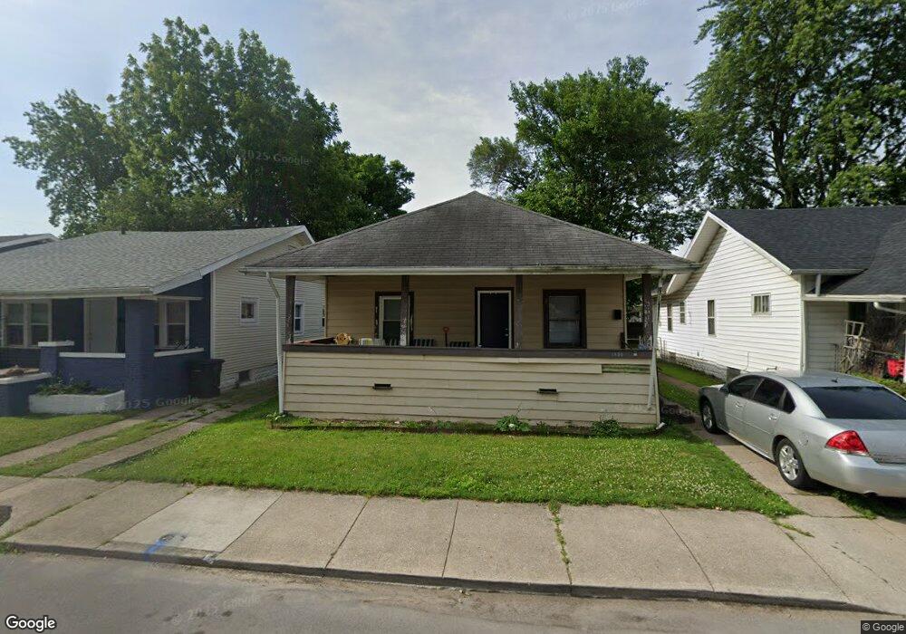
1250 Miner St South Bend, IN 46617
Northeast South Bend NeighborhoodEstimated Value: $98,000 - $168,000
2
Beds
1
Bath
936
Sq Ft
$145/Sq Ft
Est. Value
About This Home
This home is located at 1250 Miner St, South Bend, IN 46617 and is currently estimated at $136,000, approximately $145 per square foot. 1250 Miner St is a home located in St. Joseph County with nearby schools including Nuner Fine Arts Academy, Clay Intermediate Center, and Jefferson Intermediate Traditional School.
Ownership History
Date
Name
Owned For
Owner Type
Purchase Details
Closed on
Aug 31, 2009
Sold by
Lemke Larry
Bought by
Innovation Development Llc
Current Estimated Value
Purchase Details
Closed on
Dec 23, 2008
Sold by
Wells Fargo Bank Na
Bought by
Lemke Larry and 1250 Home Works Funding Group Land Trust
Purchase Details
Closed on
Feb 12, 2007
Sold by
1250-051206 Rete Land Trust
Bought by
Bloom Gale P and Bloom Christina L
Home Financials for this Owner
Home Financials are based on the most recent Mortgage that was taken out on this home.
Original Mortgage
$53,100
Interest Rate
8.33%
Mortgage Type
Adjustable Rate Mortgage/ARM
Purchase Details
Closed on
May 12, 2006
Sold by
Perkins Jerome J
Bought by
Rete Land Trust
Create a Home Valuation Report for This Property
The Home Valuation Report is an in-depth analysis detailing your home's value as well as a comparison with similar homes in the area
Home Values in the Area
Average Home Value in this Area
Purchase History
| Date | Buyer | Sale Price | Title Company |
|---|---|---|---|
| Innovation Development Llc | -- | Lawyers Title | |
| Lemke Larry | -- | Fidelity Land Title Agency O | |
| Bloom Gale P | -- | None Available | |
| Rete Land Trust | -- | Progressive Land Title |
Source: Public Records
Mortgage History
| Date | Status | Borrower | Loan Amount |
|---|---|---|---|
| Previous Owner | Bloom Gale P | $53,100 |
Source: Public Records
Tax History Compared to Growth
Tax History
| Year | Tax Paid | Tax Assessment Tax Assessment Total Assessment is a certain percentage of the fair market value that is determined by local assessors to be the total taxable value of land and additions on the property. | Land | Improvement |
|---|---|---|---|---|
| 2024 | $896 | $53,600 | $8,500 | $45,100 |
| 2023 | $853 | $35,800 | $8,500 | $27,300 |
| 2022 | $859 | $35,800 | $8,500 | $27,300 |
| 2021 | $809 | $31,900 | $7,000 | $24,900 |
| 2020 | $809 | $31,900 | $7,000 | $24,900 |
| 2019 | $677 | $31,700 | $6,800 | $24,900 |
| 2018 | $800 | $31,700 | $6,800 | $24,900 |
| 2017 | $822 | $31,300 | $6,800 | $24,500 |
| 2016 | $839 | $31,300 | $6,800 | $24,500 |
| 2014 | $1,236 | $47,300 | $7,000 | $40,300 |
Source: Public Records
Map
Nearby Homes
- 1229 Miner St
- 1222 Miner St
- 1303 Sorin St
- 509 N Arthur St
- 1334 Chalfant St
- 302 Walsh St
- 421 N Eddy (Lot 1) St Unit Lot 1
- 469 N Eddy (Lot 25) St Unit lot 25
- 602 N Frances St
- 461 N Eddy (Lot 21) St Unit Lot 21
- 1454 Sorin St
- 1214 E Mckinley Hwy
- 606 N Twyckenham Dr
- 1123 N Twyckenham Dr
- 735 N Twyckenham Dr
- VL Adj to 511 N Notre Dame Ave
- 624 C N Notre Dame Ave
- 624 A N Notre Dame Ave Unit A
- 1253 Corby Blvd Unit A
- 1253 Corby Blvd Unit B
- 1254 Miner St
- 1246 Miner St
- 1258 Miner St
- 1244 Miner St
- 1253 Cedar St
- 1245 Cedar St
- 1255 Cedar St
- 1241 Cedar St
- 1257 Cedar St
- 1245 Miner St
- 1237 Cedar St
- 1243 Miner St
- 1251 Miner St
- 513 N Sunnyside Ave
- 1241 Miner St
- 517 N Sunnyside Ave
- 1234 Miner St
- 505 N Sunnyside Ave
- 1237 Miner St
- 525 N Sunnyside Ave