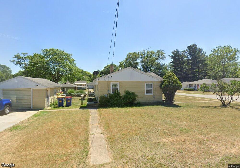
1250 N Dorroll St NE Grand Rapids, MI 49505
Creston NeighborhoodEstimated Value: $225,000 - $262,000
2
Beds
1
Bath
1,024
Sq Ft
$243/Sq Ft
Est. Value
About This Home
This home is located at 1250 N Dorroll St NE, Grand Rapids, MI 49505 and is currently estimated at $248,572, approximately $242 per square foot. 1250 N Dorroll St NE is a home located in Kent County with nearby schools including Riverside Middle School, Union High School, and All Saints Academy - Lower Campus.
Ownership History
Date
Name
Owned For
Owner Type
Purchase Details
Closed on
Dec 10, 2010
Sold by
The Estate Of Helen Lucille Prouty
Bought by
Zevenbergen Peter
Current Estimated Value
Home Financials for this Owner
Home Financials are based on the most recent Mortgage that was taken out on this home.
Original Mortgage
$56,529
Outstanding Balance
$37,932
Interest Rate
4.53%
Mortgage Type
FHA
Estimated Equity
$210,640
Create a Home Valuation Report for This Property
The Home Valuation Report is an in-depth analysis detailing your home's value as well as a comparison with similar homes in the area
Home Values in the Area
Average Home Value in this Area
Purchase History
| Date | Buyer | Sale Price | Title Company |
|---|---|---|---|
| Zevenbergen Peter | $58,000 | Chicago Title Of Michigan |
Source: Public Records
Mortgage History
| Date | Status | Borrower | Loan Amount |
|---|---|---|---|
| Open | Zevenbergen Peter | $56,529 |
Source: Public Records
Tax History Compared to Growth
Tax History
| Year | Tax Paid | Tax Assessment Tax Assessment Total Assessment is a certain percentage of the fair market value that is determined by local assessors to be the total taxable value of land and additions on the property. | Land | Improvement |
|---|---|---|---|---|
| 2025 | $1,475 | $104,000 | $0 | $0 |
| 2024 | $1,475 | $92,600 | $0 | $0 |
| 2023 | $1,413 | $82,000 | $0 | $0 |
| 2022 | $1,421 | $77,500 | $0 | $0 |
| 2021 | $1,389 | $67,700 | $0 | $0 |
| 2020 | $1,328 | $61,500 | $0 | $0 |
| 2019 | $1,391 | $54,400 | $0 | $0 |
| 2018 | $1,343 | $47,900 | $0 | $0 |
| 2017 | $1,308 | $42,200 | $0 | $0 |
| 2016 | $1,323 | $39,800 | $0 | $0 |
| 2015 | $1,231 | $39,800 | $0 | $0 |
| 2013 | -- | $36,200 | $0 | $0 |
Source: Public Records
Map
Nearby Homes
- 2100 Dawson Ave NE
- 2027 Joan Ave NE
- 1335 Knapp St NE
- 1335 Northlawn St NE
- 1245 Kelsey St NE
- 921 Eleanor St NE
- 861 Aberdeen St NE
- 1050 3 Mile Rd NE
- 1824 Herrick Ave NE
- 778 Eleanor St NE
- 2700 Plainfield Ave NE
- 1119 Kentwood Dr NE
- 1848 Emerald Ave NE
- 738 Graceland St NE
- 2038 Melita Ave NE
- 1237 Dale Ct NE
- 1666 Carlton Ave NE
- 1825 Meadowfield Dr NE
- 1757 Westlane Dr NE
- 3030 Plainfield Ave NE
- 1249 S Dorroll St NE
- 1260 N Dorroll St NE
- 1251 N Dorroll St NE
- 1245 N Dorroll St NE
- 1261 S Dorroll St NE
- 1241 N Dorroll St NE
- 1257 N Dorroll St NE
- 1236 S Dorroll St NE
- 1235 Dorroll St NE
- 1263 N Dorroll St NE
- 1252 S Dorroll St NE
- 1244 S Dorroll St NE
- 1230 Dorroll St NE
- 1258 S Dorroll St NE
- 1231 Dorroll St NE
- 1310 N Dorroll St NE
- 1262 S Dorroll St NE
- 1301 N Dorroll St NE
- 2338 Dawson Ave NE
- 1224 Dorroll St NE