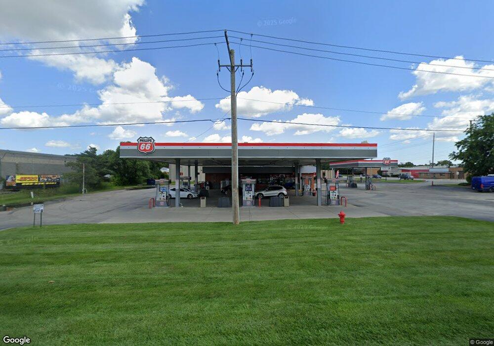
1250 N Rand Rd Wauconda, IL 60084
--
Bed
--
Bath
--
Sq Ft
1.37
Acres
About This Home
This home is located at 1250 N Rand Rd, Wauconda, IL 60084. 1250 N Rand Rd is a home located in Lake County with nearby schools including Robert Crown School, Wauconda Middle School, and Wauconda High School.
Ownership History
Date
Name
Owned For
Owner Type
Purchase Details
Closed on
Jun 11, 2003
Sold by
Berger Dale and Holtgren Fredric J
Bought by
Diversified Properties Ltd
Purchase Details
Closed on
Feb 10, 2003
Sold by
Rim Edward K
Bought by
Wauconda Industrial Properties Llc
Purchase Details
Closed on
Dec 13, 1996
Sold by
American National Bk & Tr Co Of Chicago
Bought by
Rim Edward K
Home Financials for this Owner
Home Financials are based on the most recent Mortgage that was taken out on this home.
Original Mortgage
$112,000
Interest Rate
7.54%
Mortgage Type
Commercial
Create a Home Valuation Report for This Property
The Home Valuation Report is an in-depth analysis detailing your home's value as well as a comparison with similar homes in the area
Home Values in the Area
Average Home Value in this Area
Purchase History
| Date | Buyer | Sale Price | Title Company |
|---|---|---|---|
| Diversified Properties Ltd | $245,000 | Ticor Title | |
| Wauconda Industrial Properties Llc | $300,000 | Multiple | |
| Rim Edward K | $140,000 | Collar Counties Title Plant |
Source: Public Records
Mortgage History
| Date | Status | Borrower | Loan Amount |
|---|---|---|---|
| Previous Owner | Rim Edward K | $112,000 |
Source: Public Records
Tax History Compared to Growth
Tax History
| Year | Tax Paid | Tax Assessment Tax Assessment Total Assessment is a certain percentage of the fair market value that is determined by local assessors to be the total taxable value of land and additions on the property. | Land | Improvement |
|---|---|---|---|---|
| 2024 | $35,939 | $419,192 | $126,820 | $292,372 |
| 2023 | $37,417 | $383,173 | $115,923 | $267,250 |
| 2022 | $37,417 | $357,504 | $108,157 | $249,347 |
| 2021 | $46,614 | $438,794 | $102,199 | $336,595 |
| 2020 | $45,264 | $418,218 | $97,407 | $320,811 |
| 2019 | $40,214 | $395,253 | $92,058 | $303,195 |
| 2018 | $44,207 | $400,094 | $93,187 | $306,907 |
| 2017 | $44,208 | $395,467 | $92,109 | $303,358 |
| 2016 | $41,658 | $374,495 | $87,224 | $287,271 |
| 2015 | $39,416 | $343,794 | $80,073 | $263,721 |
| 2014 | $28,390 | $248,639 | $84,451 | $164,188 |
| 2012 | $27,458 | $253,120 | $85,973 | $167,147 |
Source: Public Records
Map
Nearby Homes
- 845 Osage Terrace
- 26241 W Bonner Rd
- 235 Regency Ct Unit B
- 240 Regency Ct
- 225 Regency Ct Unit A
- 136 Parkview Dr Unit 5136
- 29295 N Callahan Rd
- 225 Larkdale Row
- 26049 N Il Route 59
- 28177 N Garland Rd
- 453 Willow Rd
- 28855 N Garland Rd
- 450 N Main St Unit S307A
- 450 N Main St Unit S208A
- 29564 N Garland Rd
- 335 Farmhill Cir
- 27514 N Forest Garden Rd
- 311 Brown St
- 0 Bonner Rd
- 136 Hubbard Ct
- 1250 N Rand Rd Unit B
- 1250 N Rand Rd Unit E
- 581 W Bonner Rd
- 26036 Illinois Route 59
- 28629 N Us Highway 12
- 1180 N Dato Ln
- 1301 N Old Rand Rd
- 1251 N Old Rand Rd
- 1350 N Rand Rd
- 1220 Larkdale Row
- 441 W Bonner Rd
- 1210 Larkdale Row
- 26810 W Bonner Rd
- 1200 Larkdale Row
- 1215 Larkdale Row
- 1190 Larkdale Row
- 1205 Larkdale Row
- 1180 Larkdale Row
- 391 Hollow Hill Rd
- 1195 Larkdale Row