1250 N Rose Farm Rd Unit C Woodstock, IL 60098
Estimated Value: $250,740
--
Bed
--
Bath
14,400
Sq Ft
$17/Sq Ft
Est. Value
About This Home
This home is located at 1250 N Rose Farm Rd Unit C, Woodstock, IL 60098 and is currently estimated at $250,740, approximately $17 per square foot. 1250 N Rose Farm Rd Unit C is a home located in McHenry County with nearby schools including Westwood Elementary School, Northwood Middle School, and Woodstock North High School.
Ownership History
Date
Name
Owned For
Owner Type
Purchase Details
Closed on
Oct 17, 2024
Sold by
Larocco Christopher D
Bought by
Andersen Mark E
Current Estimated Value
Purchase Details
Closed on
Feb 22, 2023
Sold by
Reininger Steven J
Bought by
Larocco Christopher D
Purchase Details
Closed on
Sep 1, 2020
Sold by
Reininger Steven J and Reininger Madeline Rose
Bought by
Reininger Steven J
Purchase Details
Closed on
Sep 9, 2005
Sold by
Cooper Philip D and Cooper Kathleen A
Bought by
Cline Robert J
Home Financials for this Owner
Home Financials are based on the most recent Mortgage that was taken out on this home.
Original Mortgage
$137,880
Interest Rate
5.89%
Mortgage Type
Commercial
Create a Home Valuation Report for This Property
The Home Valuation Report is an in-depth analysis detailing your home's value as well as a comparison with similar homes in the area
Home Values in the Area
Average Home Value in this Area
Purchase History
| Date | Buyer | Sale Price | Title Company |
|---|---|---|---|
| Andersen Mark E | $235,000 | Chicago Title | |
| Larocco Christopher D | $130,000 | Chicago Title | |
| Reininger Steven J | -- | None Available | |
| Cline Robert J | $172,350 | Heritage Title Company |
Source: Public Records
Mortgage History
| Date | Status | Borrower | Loan Amount |
|---|---|---|---|
| Previous Owner | Cline Robert J | $137,880 |
Source: Public Records
Tax History Compared to Growth
Tax History
| Year | Tax Paid | Tax Assessment Tax Assessment Total Assessment is a certain percentage of the fair market value that is determined by local assessors to be the total taxable value of land and additions on the property. | Land | Improvement |
|---|---|---|---|---|
| 2024 | $4,777 | $51,033 | $12,581 | $38,452 |
| 2023 | $4,678 | $47,083 | $11,607 | $35,476 |
| 2022 | $4,451 | $42,520 | $10,482 | $32,038 |
| 2021 | $4,099 | $38,144 | $9,403 | $28,741 |
| 2020 | $4,071 | $37,276 | $9,189 | $28,087 |
| 2019 | $4,098 | $36,750 | $9,059 | $27,691 |
| 2018 | $5,077 | $44,856 | $8,913 | $35,943 |
| 2017 | $5,117 | $43,119 | $8,568 | $34,551 |
| 2016 | $5,296 | $41,477 | $8,242 | $33,235 |
Source: Public Records
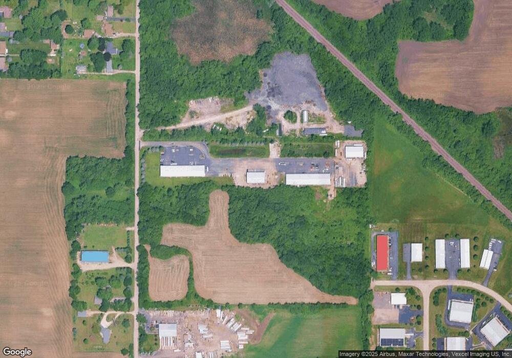
Map
Nearby Homes
- Route 14 N Rose Farm Rd
- 0 N Rose Farm Rd Unit 18628646
- 1106 Rail Dr
- 704 N Rose Farm Rd
- 705 Indian Trace
- 13808 Washington St
- 708 S Rose Farm Rd
- 0 Rt 47 & Lucas Rd Unit MRD12293021
- 920 Pleasant St
- 824 Washington St
- 4244 Meadowridge Rd
- 4224 Meadowridge Rd
- 4265 Meadowridge Rd
- 4240 Meadowridge Rd
- 4104 Meadowridge Rd
- 1301 Longwood Dr E
- 0 Rt 47 & Hercules Rd Hwy Unit MRD12103853
- 814 Robert Dr
- 15309 Kishwaukee Valley Rd
- 15917 Kishwaukee Valley Rd
- 1250 N Rose Farm Rd Unit G
- 1250 N Rose Farm Rd Unit D
- 1250 N Rose Farm Rd Unit G-H
- 1250 N Rose Farm Rd Unit H
- 1250 N Rose Farm Rd Unit E
- 1250 N Rose Farm Rd
- 1309 N Rose Farm Rd
- 1258 N Rose Farm Rd Unit 1-2
- 1258 N Rose Farm Rd Unit 5
- 1258 N Rose Farm Rd Unit 4
- 1258 N Rose Farm Rd Unit 3
- 1258 N Rose Farm Rd
- 1258 N Rose Farm Rd Unit 13
- 1313 N Rose Farm Rd
- 1103 N Rose Farm Rd
- 1317 N Rose Farm Rd
- 1401 N Rose Farm Rd
- 1017 N Rose Farm Rd
- 1310 Antuna Blvd
- 1314 Antuna Blvd