1250 Pergin Farm Rd Oakland, MD 21550
Estimated Value: $829,257 - $1,019,000
3
Beds
3
Baths
2,400
Sq Ft
$403/Sq Ft
Est. Value
About This Home
This home is located at 1250 Pergin Farm Rd, Oakland, MD 21550 and is currently estimated at $966,564, approximately $402 per square foot. 1250 Pergin Farm Rd is a home located in Garrett County with nearby schools including Broad Ford Elementary School, Southern Middle School, and Southern Garrett High School.
Ownership History
Date
Name
Owned For
Owner Type
Purchase Details
Closed on
Dec 7, 2010
Sold by
Ridgway William D and Ridgway Laurie J
Bought by
Stipe Paul M and Stipe Joyce B
Current Estimated Value
Home Financials for this Owner
Home Financials are based on the most recent Mortgage that was taken out on this home.
Original Mortgage
$300,000
Outstanding Balance
$198,305
Interest Rate
4.23%
Mortgage Type
New Conventional
Estimated Equity
$768,259
Purchase Details
Closed on
May 3, 2005
Sold by
Capelle Ericka
Bought by
Ridgway William D and Ridgway Laurie J
Home Financials for this Owner
Home Financials are based on the most recent Mortgage that was taken out on this home.
Original Mortgage
$350,000
Interest Rate
6.05%
Mortgage Type
New Conventional
Create a Home Valuation Report for This Property
The Home Valuation Report is an in-depth analysis detailing your home's value as well as a comparison with similar homes in the area
Home Values in the Area
Average Home Value in this Area
Purchase History
| Date | Buyer | Sale Price | Title Company |
|---|---|---|---|
| Stipe Paul M | $500,000 | -- | |
| Ridgway William D | $570,000 | -- |
Source: Public Records
Mortgage History
| Date | Status | Borrower | Loan Amount |
|---|---|---|---|
| Open | Stipe Paul M | $300,000 | |
| Previous Owner | Ridgway William D | $350,000 |
Source: Public Records
Tax History Compared to Growth
Tax History
| Year | Tax Paid | Tax Assessment Tax Assessment Total Assessment is a certain percentage of the fair market value that is determined by local assessors to be the total taxable value of land and additions on the property. | Land | Improvement |
|---|---|---|---|---|
| 2025 | $7,616 | $670,100 | $128,700 | $541,400 |
| 2024 | $7,280 | $620,733 | $0 | $0 |
| 2023 | $6,704 | $571,367 | $0 | $0 |
| 2022 | $6,127 | $522,000 | $205,700 | $316,300 |
| 2021 | $6,108 | $520,367 | $0 | $0 |
| 2020 | $6,089 | $518,733 | $0 | $0 |
| 2019 | $6,070 | $517,100 | $205,700 | $311,400 |
| 2018 | $5,728 | $517,100 | $205,700 | $311,400 |
| 2017 | $5,729 | $517,100 | $0 | $0 |
| 2016 | -- | $518,600 | $0 | $0 |
| 2015 | -- | $518,600 | $0 | $0 |
| 2014 | -- | $518,600 | $0 | $0 |
Source: Public Records
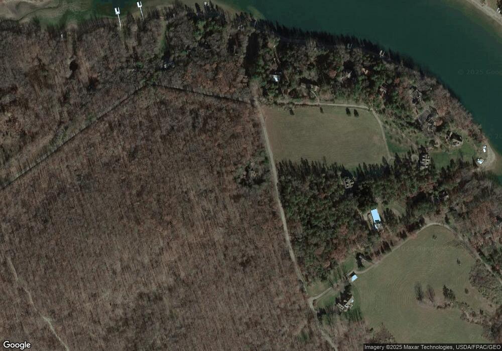
Map
Nearby Homes
- 197 Black Angus Dr
- 1567 Pergin Farm Rd
- Lot G Randall Way
- 590 S Blakeslee Rd
- 62 Middleton Rd
- LOT 25 Holy Cross Dr
- 1240 Boy Scout Rd
- 1010 Holy Cross Dr
- 870 Holy Cross Dr
- 2895 Turkey Neck Rd
- 0 Longview Ln
- 2 Overlook Ridge Dr S
- 19 Pheasant Run
- 3135 Turkey Neck Rd
- 1909 Pysell Crosscut Rd
- 1875 Pysell Crosscut Rd
- 41 Boyd Paugh Ln
- 2311 Boy Scout Rd
- 1720 Pysell Crosscut Rd
- 0 Maryland Hwy
- 9 LOT Pergin Farm Rd
- 0 Pergin Farm Rd Unit GA7848596
- LOT 9 Pergin Farm Rd
- 1335 Pergin Farm Rd
- 81 Black Angus Dr
- 51 Black Angus Dr
- 1163 Pergin Farm Rd
- 0 Black Angus Dr
- 0 Randall Way Unit GA7865367
- 0 Randall Way Unit MDGA2002548
- 0 Randall Way Unit MDGA134786
- 1137 Pergin Farm Rd
- 1111 Pergin Farm Rd
- 1345 Pergin Farm Rd
- 121 Black Angus Dr
- 1473 Pergin Farm Rd
- 145 Black Angus Dr
- 1071 Pergin Farm Rd
- 1436 Pergin Farm Rd
- 161 Black Angus Dr