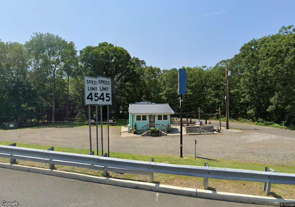
1250 Route 50 Woodbine, NJ 08270
Estimated Value: $173,414
--
Bed
--
Bath
441
Sq Ft
$393/Sq Ft
Est. Value
About This Home
This home is located at 1250 Route 50, Woodbine, NJ 08270 and is currently estimated at $173,414, approximately $393 per square foot. 1250 Route 50 is a home located in Cape May County with nearby schools including Upper Township Primary School, Upper Township Elementary School, and Upper Township Middle School.
Ownership History
Date
Name
Owned For
Owner Type
Purchase Details
Closed on
Jul 7, 2020
Sold by
Kamcmahon Properties Llc
Bought by
Steele Men Llc
Current Estimated Value
Purchase Details
Closed on
Dec 2, 2019
Sold by
Lushok James J and Volpe Carol A
Bought by
Kamcmahon Properties Llc
Purchase Details
Closed on
Jun 15, 2018
Sold by
Kamcmahon Properties Llc
Bought by
Lushok James J and Volpe Carol A
Purchase Details
Closed on
Dec 15, 2015
Sold by
Mcmahon Kevin and Mcmahon Ann Marie
Bought by
Mcmahon Ka Properties Llc
Purchase Details
Closed on
Dec 29, 2014
Sold by
Chirichella Peter M and Chirichella Diane
Bought by
Mcmahon Kevin and Mcmahon Ann Marie
Purchase Details
Closed on
Jun 23, 1993
Sold by
Finizio Pamela W
Bought by
Dot
Purchase Details
Closed on
Jun 17, 1993
Sold by
Cosenza Marino A and Dolores Et Als
Bought by
Dot
Purchase Details
Closed on
Jun 16, 1986
Bought by
Cosenza Marino A
Create a Home Valuation Report for This Property
The Home Valuation Report is an in-depth analysis detailing your home's value as well as a comparison with similar homes in the area
Home Values in the Area
Average Home Value in this Area
Purchase History
| Date | Buyer | Sale Price | Title Company |
|---|---|---|---|
| Steele Men Llc | $100,000 | Misc Company | |
| Kamcmahon Properties Llc | -- | None Available | |
| Lushok James J | $125,000 | -- | |
| Mcmahon Ka Properties Llc | -- | None Available | |
| Mcmahon Kevin | $85,000 | None Available | |
| Dot | -- | -- | |
| Dot | $9,200 | -- | |
| Cosenza Marino A | $26,000 | -- |
Source: Public Records
Tax History Compared to Growth
Tax History
| Year | Tax Paid | Tax Assessment Tax Assessment Total Assessment is a certain percentage of the fair market value that is determined by local assessors to be the total taxable value of land and additions on the property. | Land | Improvement |
|---|---|---|---|---|
| 2025 | $2,852 | $121,100 | $93,500 | $27,600 |
| 2024 | $2,852 | $121,100 | $93,500 | $27,600 |
| 2023 | $2,716 | $121,100 | $93,500 | $27,600 |
| 2022 | $2,633 | $121,100 | $93,500 | $27,600 |
| 2021 | $2,542 | $121,100 | $93,500 | $27,600 |
| 2020 | $2,450 | $121,100 | $93,500 | $27,600 |
| 2019 | $2,394 | $121,100 | $93,500 | $27,600 |
| 2018 | $2,334 | $121,100 | $93,500 | $27,600 |
| 2017 | $2,305 | $121,100 | $93,500 | $27,600 |
| 2016 | $2,073 | $107,200 | $93,500 | $13,700 |
| 2015 | $2,012 | $107,200 | $93,500 | $13,700 |
| 2014 | $2,723 | $178,300 | $146,200 | $32,100 |
Source: Public Records
Map
Nearby Homes
- 1520 Route 50
- 781 Route 50
- 9 Deerfield Trail
- 17 Deerfield Trail
- 1981 Tuckahoe Rd
- 240 Dennisville-Petersburg Rd
- 50 School House Ln
- 27 Cedar Ave
- 115 Rte 50
- 78 Tyler Rd
- 10 New Jersey 50
- 000 New Jersey 49
- 127 Route 50
- 104 Church Rd
- 11 Laurel Ridge Rd
- 104 Head of River Rd
- 301 Heine Ave
- 13 Mooring Cir
- 86 Route 50
- 124 Butter Rd