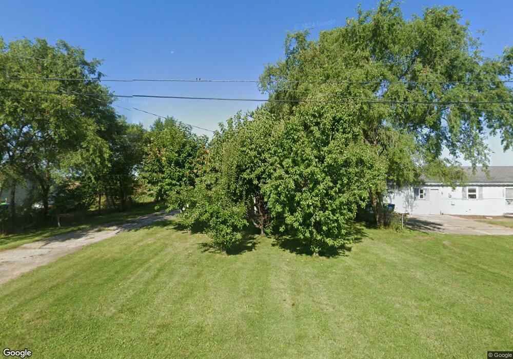
1250 S Airport Rd Saginaw, MI 48601
Estimated Value: $55,000 - $99,000
2
Beds
1
Bath
816
Sq Ft
$100/Sq Ft
Est. Value
About This Home
This home is located at 1250 S Airport Rd, Saginaw, MI 48601 and is currently estimated at $81,660, approximately $100 per square foot. 1250 S Airport Rd is a home located in Saginaw County with nearby schools including Thomas White School, Iuka Elementary School, and Martin G. Atkins Elementary School.
Ownership History
Date
Name
Owned For
Owner Type
Purchase Details
Closed on
Jun 29, 2001
Current Estimated Value
Home Financials for this Owner
Home Financials are based on the most recent Mortgage that was taken out on this home.
Original Mortgage
$12,000
Outstanding Balance
$4,631
Interest Rate
7.16%
Estimated Equity
$77,029
Purchase Details
Closed on
Jun 24, 1999
Sold by
Hamman Jefferey J and Hamman Tamra L
Bought by
Wood Michael
Home Financials for this Owner
Home Financials are based on the most recent Mortgage that was taken out on this home.
Original Mortgage
$20,000
Interest Rate
7.28%
Create a Home Valuation Report for This Property
The Home Valuation Report is an in-depth analysis detailing your home's value as well as a comparison with similar homes in the area
Home Values in the Area
Average Home Value in this Area
Purchase History
| Date | Buyer | Sale Price | Title Company |
|---|---|---|---|
| -- | $59,000 | -- | |
| Withers Joyce R | $59,000 | -- | |
| Wood Michael | $45,000 | -- |
Source: Public Records
Mortgage History
| Date | Status | Borrower | Loan Amount |
|---|---|---|---|
| Open | Withers Joyce R | $12,000 | |
| Previous Owner | Wood Michael | $20,000 |
Source: Public Records
Tax History Compared to Growth
Tax History
| Year | Tax Paid | Tax Assessment Tax Assessment Total Assessment is a certain percentage of the fair market value that is determined by local assessors to be the total taxable value of land and additions on the property. | Land | Improvement |
|---|---|---|---|---|
| 2025 | $1,224 | $30,300 | $0 | $0 |
| 2024 | $391 | $30,400 | $0 | $0 |
| 2023 | $372 | $26,400 | $0 | $0 |
| 2022 | $1,077 | $22,700 | $0 | $0 |
| 2021 | $1,010 | $20,900 | $0 | $0 |
| 2020 | $996 | $19,100 | $0 | $0 |
| 2019 | $971 | $18,900 | $1,200 | $17,700 |
| 2018 | $288 | $19,000 | $0 | $0 |
| 2017 | $901 | $19,000 | $0 | $0 |
| 2016 | $827 | $18,900 | $0 | $0 |
| 2014 | -- | $19,400 | $0 | $18,200 |
| 2013 | -- | $18,800 | $0 | $0 |
Source: Public Records
Map
Nearby Homes
- 1579 Joy St
- 5050 Carnegie St
- 5032 Akron St
- 1765 Ribble St
- 1840 Ribble St
- 1815 Mack Rd
- 3299 Mysylvia Dr
- 4694 King Rd
- 3172 Mysylvia Dr
- 4764 Hess Rd
- 1337 Woodside St
- 3289 Westbrook St
- 1380 Woodside St
- 2950 Arlington Dr
- 1932 S Outer Dr
- 1910 S Outer Dr
- 3780 Mack Rd
- 3524 Chalmers Rd
- 1408 S Outer Dr
- 3306 Burlington Dr
- 1270 S Airport Rd
- 1282 S Airport Rd
- 1308 S Airport Rd
- 1320 S Airport Rd
- 1332 S Airport Rd
- 1344 S Airport Rd
- 1358 S Airport Rd
- 1370 S Airport Rd
- 1384 S Airport Rd
- 1396 S Airport Rd
- 1395 S Airport Rd
- 1408 S Airport Rd
- 1420 S Airport Rd
- 1432 S Airport Rd
- 1431 S Airport Rd
- 1446 S Airport Rd
- 1451 S Airport Rd
- 1460 S Airport Rd
- 5985 Hess Rd
- 5929 Hess Rd