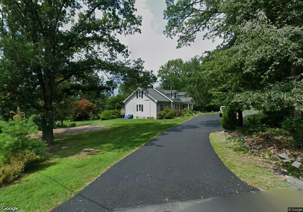
1250 W 10th St Jim Thorpe, PA 18229
Estimated Value: $311,000 - $490,000
3
Beds
2
Baths
2,348
Sq Ft
$161/Sq Ft
Est. Value
About This Home
This home is located at 1250 W 10th St, Jim Thorpe, PA 18229 and is currently estimated at $378,031, approximately $161 per square foot. 1250 W 10th St is a home located in Carbon County with nearby schools including Jim Thorpe Area High School and Sts. Peter & Paul School.
Ownership History
Date
Name
Owned For
Owner Type
Purchase Details
Closed on
Oct 8, 2020
Sold by
Susko Akantha M
Bought by
Susko Andrew and Susko Akantha
Current Estimated Value
Purchase Details
Closed on
May 17, 1999
Bought by
Susko Akantha
Create a Home Valuation Report for This Property
The Home Valuation Report is an in-depth analysis detailing your home's value as well as a comparison with similar homes in the area
Home Values in the Area
Average Home Value in this Area
Purchase History
| Date | Buyer | Sale Price | Title Company |
|---|---|---|---|
| Susko Andrew | -- | None Available | |
| Susko Akantha | $91,500 | -- |
Source: Public Records
Tax History Compared to Growth
Tax History
| Year | Tax Paid | Tax Assessment Tax Assessment Total Assessment is a certain percentage of the fair market value that is determined by local assessors to be the total taxable value of land and additions on the property. | Land | Improvement |
|---|---|---|---|---|
| 2025 | $4,528 | $57,050 | $14,950 | $42,100 |
| 2024 | $4,357 | $57,050 | $14,950 | $42,100 |
| 2023 | $4,278 | $57,050 | $14,950 | $42,100 |
| 2022 | $4,209 | $57,050 | $14,950 | $42,100 |
| 2021 | $4,209 | $57,050 | $14,950 | $42,100 |
| 2020 | $4,063 | $57,050 | $14,950 | $42,100 |
| 2019 | $3,949 | $57,050 | $14,950 | $42,100 |
| 2018 | $3,861 | $57,050 | $14,950 | $42,100 |
| 2017 | $3,746 | $57,050 | $14,950 | $42,100 |
| 2016 | -- | $57,050 | $14,950 | $42,100 |
| 2015 | -- | $57,050 | $14,950 | $42,100 |
| 2014 | -- | $57,050 | $14,950 | $42,100 |
Source: Public Records
Map
Nearby Homes
- 812 Lehigh St
- 0 W Thirteenth St Unit PM-121866
- 515 North St
- 514 North St
- 705 Center St
- 617 Center St
- 15 W 5th St Unit 17
- 432 Center St
- 25 E 5th St
- 59 W Front St
- 218 Center St
- 226 Fern St
- 115 Center St
- 11 E Front St
- 0 N Dr Unit PM-116531
- 0 Birch Dr Unit 759990
- 223 North Ave
- 95 Center Ave
- A591 Apple Lane & Stony Mountain
- 118 South Ave
- 2 Cemetery Rd
- 830 Snyder St
- 702 W 10th St
- 0 Cemetery Rd Unit PACC2001966
- 589 W 10th St
- 699 W 10th St
- 555 W 10th St
- 346 Fawn Cir
- 590 W 10th St
- 348 Fawn Cir
- 60 W 10th St
- 50 W 10th St
- 161 Cypress Dr
- 332thru334 Cypress St
- A326 Cypress St
- 349 Fawn Cir
- 411 W 10th St
- 0 Fawn Cir Unit PM-43524
- 0 Fawn Cir Unit PM-37497
- 0 Fawn Cir Unit PM-22467