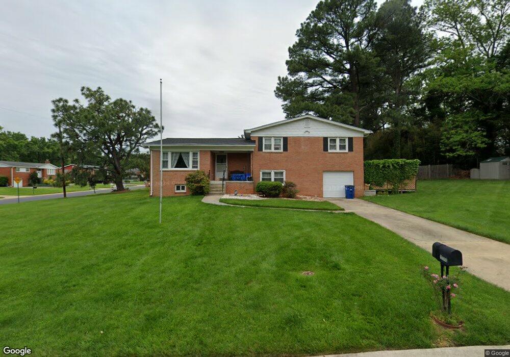
12500 Blake Rd Silver Spring, MD 20904
Estimated Value: $541,381 - $634,000
Studio
3
Baths
2,364
Sq Ft
$254/Sq Ft
Est. Value
About This Home
This home is located at 12500 Blake Rd, Silver Spring, MD 20904 and is currently estimated at $600,595, approximately $254 per square foot. 12500 Blake Rd is a home located in Montgomery County with nearby schools including Jackson Road Elementary School, White Oak Middle School, and Springbrook High School.
Ownership History
Date
Name
Owned For
Owner Type
Purchase Details
Closed on
Aug 29, 1995
Sold by
Lagrange Victor R
Bought by
Landi Michael J
Current Estimated Value
Home Financials for this Owner
Home Financials are based on the most recent Mortgage that was taken out on this home.
Original Mortgage
$144,000
Interest Rate
7.32%
Create a Home Valuation Report for This Property
The Home Valuation Report is an in-depth analysis detailing your home's value as well as a comparison with similar homes in the area
Home Values in the Area
Average Home Value in this Area
Purchase History
| Date | Buyer | Sale Price | Title Company |
|---|---|---|---|
| Landi Michael J | $180,000 | -- |
Source: Public Records
Mortgage History
| Date | Status | Borrower | Loan Amount |
|---|---|---|---|
| Closed | Landi Michael J | $144,000 |
Source: Public Records
Tax History
| Year | Tax Paid | Tax Assessment Tax Assessment Total Assessment is a certain percentage of the fair market value that is determined by local assessors to be the total taxable value of land and additions on the property. | Land | Improvement |
|---|---|---|---|---|
| 2025 | $5,263 | $425,167 | -- | -- |
| 2024 | $5,263 | $404,433 | $0 | $0 |
| 2023 | $4,308 | $383,700 | $233,900 | $149,800 |
| 2022 | $3,093 | $383,700 | $233,900 | $149,800 |
| 2021 | $4,014 | $383,700 | $233,900 | $149,800 |
| 2020 | $4,452 | $426,600 | $233,900 | $192,700 |
| 2019 | $4,174 | $403,833 | $0 | $0 |
| 2018 | $3,904 | $381,067 | $0 | $0 |
| 2017 | $3,736 | $358,300 | $0 | $0 |
| 2016 | -- | $352,833 | $0 | $0 |
| 2015 | $4,022 | $347,367 | $0 | $0 |
| 2014 | $4,022 | $341,900 | $0 | $0 |
Source: Public Records
Map
Nearby Homes
- 807 Winhall Way
- 906 Venice Dr
- 606 Winhall Way
- 816 Rosemere Ave
- 605 Rosemere Ave
- 12624 Billington Rd
- 1306 Leister Dr
- 13137 Broadmore Rd
- 12916 Shaw Place
- 1216 Kathryn Rd
- 1018 Heartfields Dr
- 12405 Olivewood Place
- 1407 Northcrest Dr
- 12001 Old Columbia Pike Unit 508
- 12001 Old Columbia Pike Unit 204
- 12001 Old Columbia Pike Unit 514
- 12001#207 Old Columbia Pike Unit 207
- 12001 Old Columbia Pike
- 12001 Old Columbia Pike Unit 516
- 1641 Carriage House Terrace Unit F
Your Personal Tour Guide
Ask me questions while you tour the home.