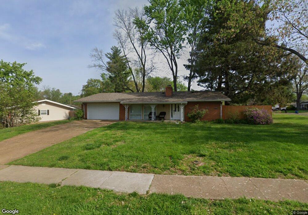
12501 Merrick Dr Saint Louis, MO 63146
Estimated Value: $297,000 - $315,000
3
Beds
2
Baths
1,710
Sq Ft
$179/Sq Ft
Est. Value
About This Home
This home is located at 12501 Merrick Dr, Saint Louis, MO 63146 and is currently estimated at $306,450, approximately $179 per square foot. 12501 Merrick Dr is a home located in St. Louis County with nearby schools including Ross Elementary School, Parkway Northeast Middle School, and Parkway North High School.
Ownership History
Date
Name
Owned For
Owner Type
Purchase Details
Closed on
Aug 15, 2008
Sold by
Gusewelle James E and Gusewelle Joann I
Bought by
Stark Anthony L
Current Estimated Value
Home Financials for this Owner
Home Financials are based on the most recent Mortgage that was taken out on this home.
Original Mortgage
$183,549
Outstanding Balance
$120,999
Interest Rate
6.42%
Mortgage Type
FHA
Estimated Equity
$185,451
Purchase Details
Closed on
May 15, 1997
Sold by
Watson Sharon M
Bought by
Gusewelle James E and Gusewelle Joann I
Home Financials for this Owner
Home Financials are based on the most recent Mortgage that was taken out on this home.
Original Mortgage
$109,300
Interest Rate
8.17%
Mortgage Type
Assumption
Create a Home Valuation Report for This Property
The Home Valuation Report is an in-depth analysis detailing your home's value as well as a comparison with similar homes in the area
Home Values in the Area
Average Home Value in this Area
Purchase History
| Date | Buyer | Sale Price | Title Company |
|---|---|---|---|
| Stark Anthony L | $185,000 | Clt | |
| Gusewelle James E | -- | -- |
Source: Public Records
Mortgage History
| Date | Status | Borrower | Loan Amount |
|---|---|---|---|
| Open | Stark Anthony L | $183,549 | |
| Previous Owner | Gusewelle James E | $109,300 |
Source: Public Records
Tax History Compared to Growth
Tax History
| Year | Tax Paid | Tax Assessment Tax Assessment Total Assessment is a certain percentage of the fair market value that is determined by local assessors to be the total taxable value of land and additions on the property. | Land | Improvement |
|---|---|---|---|---|
| 2025 | $3,439 | $51,610 | $15,450 | $36,160 |
| 2024 | $3,439 | $48,660 | $11,150 | $37,510 |
| 2023 | $3,398 | $48,660 | $11,150 | $37,510 |
| 2022 | $3,028 | $39,490 | $13,740 | $25,750 |
| 2021 | $3,008 | $39,490 | $13,740 | $25,750 |
| 2020 | $2,856 | $35,630 | $13,510 | $22,120 |
| 2019 | $2,815 | $35,630 | $13,510 | $22,120 |
| 2018 | $2,717 | $31,590 | $11,150 | $20,440 |
| 2017 | $2,699 | $31,590 | $11,150 | $20,440 |
| 2016 | $2,540 | $28,160 | $8,570 | $19,590 |
| 2015 | $2,639 | $28,160 | $8,570 | $19,590 |
| 2014 | $2,436 | $27,610 | $8,530 | $19,080 |
Source: Public Records
Map
Nearby Homes
- 1529 Tryon Dr
- 12371 Sparrowhawk Ct
- 12558 Pepperwood Dr
- 12314 Rossridge Ct
- 12516 Starspur Ln
- 12167 Plainsman Dr
- 12725 Westport Dr
- 1201 Ross Ave
- 1226 Hyannis Dr
- 12818 Willowyck Dr
- 1072 King Carey Dr
- 1018 Tempo Dr
- 12430 Impact Dr
- 1004 Tempo Dr
- 1702 Pensacola Dr
- 2021 Maryland Oaks Cir
- 2025 Maryland Oaks Cir
- 12045 Bridal Shire Ct
- 1033 Mackinac Dr
- 920 Tempo Dr
- 1537 Ross Ave
- 12505 Merrick Dr
- 1532 Ross Ave
- 1543 Ross Ave
- 1538 Ross Ave
- 1506 Fontana Dr
- 1500 Fontana Dr
- 12500 Merrick Dr
- 1512 Fontana Dr
- 12506 Merrick Dr
- 1544 Ross Ave
- 1549 Ross Ave
- 12512 Merrick Dr
- 12490 Merrick Dr
- 1521 Rathford Dr
- 1516 Fontana Dr
- 1527 Rathford Dr
- 12484 Merrick Dr
- 1550 Ross Ave
- 12518 Merrick Dr