12506 NE 279th St Battle Ground, WA 98604
Estimated Value: $822,000 - $923,000
3
Beds
2
Baths
2,393
Sq Ft
$363/Sq Ft
Est. Value
About This Home
This home is located at 12506 NE 279th St, Battle Ground, WA 98604 and is currently estimated at $868,102, approximately $362 per square foot. 12506 NE 279th St is a home located in Clark County with nearby schools including Daybreak Primary School, Daybreak Middle School, and Battle Ground High School.
Ownership History
Date
Name
Owned For
Owner Type
Purchase Details
Closed on
May 18, 2009
Sold by
Acee Bryan and Acee Bonnie
Bought by
Ladenburg Bennett Marilynn A
Current Estimated Value
Purchase Details
Closed on
May 20, 2004
Sold by
Hagedorn Timothy A and Hagedorn Michele Y
Bought by
Acee Bryan and Acee Bonnie
Home Financials for this Owner
Home Financials are based on the most recent Mortgage that was taken out on this home.
Original Mortgage
$224,000
Interest Rate
5.86%
Mortgage Type
Purchase Money Mortgage
Create a Home Valuation Report for This Property
The Home Valuation Report is an in-depth analysis detailing your home's value as well as a comparison with similar homes in the area
Home Values in the Area
Average Home Value in this Area
Purchase History
| Date | Buyer | Sale Price | Title Company |
|---|---|---|---|
| Ladenburg Bennett Marilynn A | $380,000 | Clark County Title Co | |
| Acee Bryan | $280,000 | First American Title |
Source: Public Records
Mortgage History
| Date | Status | Borrower | Loan Amount |
|---|---|---|---|
| Previous Owner | Acee Bryan | $224,000 |
Source: Public Records
Tax History Compared to Growth
Tax History
| Year | Tax Paid | Tax Assessment Tax Assessment Total Assessment is a certain percentage of the fair market value that is determined by local assessors to be the total taxable value of land and additions on the property. | Land | Improvement |
|---|---|---|---|---|
| 2025 | $6,224 | $739,136 | $273,342 | $465,794 |
| 2024 | $5,859 | $709,095 | $273,342 | $435,753 |
| 2023 | $5,896 | $747,828 | $286,029 | $461,799 |
| 2022 | $5,162 | $688,673 | $247,116 | $441,557 |
| 2021 | $5,288 | $559,077 | $187,788 | $371,289 |
| 2020 | $5,055 | $523,429 | $180,213 | $343,216 |
| 2019 | $4,211 | $490,516 | $180,213 | $310,303 |
| 2018 | $5,227 | $467,552 | $0 | $0 |
| 2017 | $4,448 | $444,377 | $0 | $0 |
| 2016 | $4,336 | $410,534 | $0 | $0 |
| 2015 | $4,244 | $368,834 | $0 | $0 |
| 2014 | -- | $343,808 | $0 | $0 |
| 2013 | -- | $308,514 | $0 | $0 |
Source: Public Records
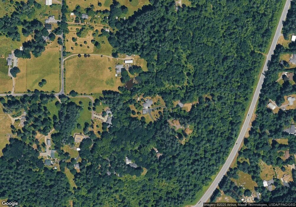
Map
Nearby Homes
- 0 NE 279th St Unit 717779825
- 0 NE 279th St Unit 24101609
- 0 NE 279th St Unit 24073819
- 0 NE 279th St Unit 24075001
- 11700 NE 279th St
- 11221 NE 279th St
- 29311 NE 124th Ave
- 28900 NE 112th Ave
- 13706 NE River Bend Rd
- 27203 NE 103rd Ave
- 9701 NE 299th St
- 16401 NE 278th St
- 11200 NE Gren Fels Dr
- 25113 NE Dublin Rd
- 30108 NE Mcbride Rd
- 11007 NE Wilde Rd
- 3039 NW 6th Ave
- 3031 NW 6th Ave
- 3023 NW 6th Ave
- 3015 NW 6th Ave
- 0 NE 279th St Unit 716824
- 0 NE 279th St Unit 24233037
- 0 NE 279th St Unit 24679117
- 0 NE 279th St Unit 24665082
- 0 NE 279th St Unit 23383228
- 0 NE 279th St Unit 22601036
- 0 NE 279th St Unit 3 22551246
- 0 NE 279th St Unit 2 22266038
- 0 NE 279th St Unit 4 22022028
- 0 NE 279th St Unit 1 22662026
- 0 NE 279th St Unit 22210627
- 0 NE 279th St Unit North 21579654
- 0 NE 279th St Unit South 21453699
- 0 NE 279th St
- 12609 NE 279th St
- 27937 NE 122nd Ave
- 12515 NE 279th St
- 12415 NE 279th St
- 12411 NE 279th St
- 12210 NE 279th St