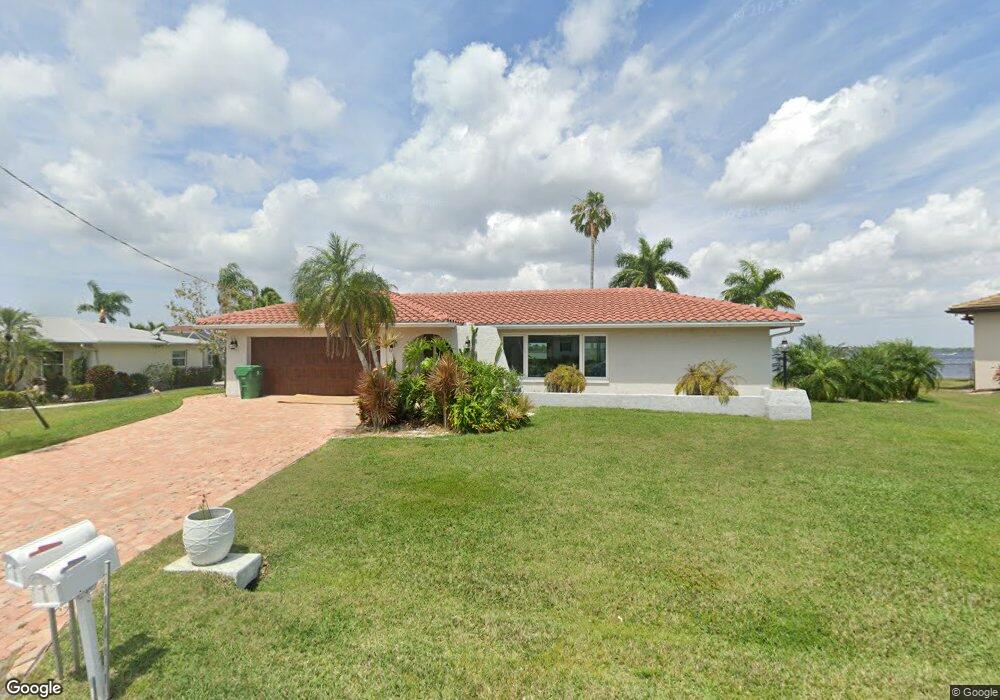
12508 Bacchus Rd Unit 49 Port Charlotte, FL 33981
Gulf Cove NeighborhoodEstimated Value: $1,074,345 - $1,130,000
3
Beds
3
Baths
1,707
Sq Ft
$643/Sq Ft
Est. Value
About This Home
This home is located at 12508 Bacchus Rd Unit 49, Port Charlotte, FL 33981 and is currently estimated at $1,097,586, approximately $642 per square foot. 12508 Bacchus Rd Unit 49 is a home located in Charlotte County with nearby schools including Myakka River Elementary School, L.A. Ainger Middle School, and Lemon Bay High School.
Ownership History
Date
Name
Owned For
Owner Type
Purchase Details
Closed on
Dec 18, 2020
Sold by
Rossi John M and Rossi Constance A
Bought by
Pozniak Andrzej D and Pozniak Ewa
Current Estimated Value
Home Financials for this Owner
Home Financials are based on the most recent Mortgage that was taken out on this home.
Original Mortgage
$429,900
Outstanding Balance
$382,739
Interest Rate
2.7%
Mortgage Type
New Conventional
Estimated Equity
$714,847
Create a Home Valuation Report for This Property
The Home Valuation Report is an in-depth analysis detailing your home's value as well as a comparison with similar homes in the area
Home Values in the Area
Average Home Value in this Area
Purchase History
| Date | Buyer | Sale Price | Title Company |
|---|---|---|---|
| Pozniak Andrzej D | $539,900 | Attorney |
Source: Public Records
Mortgage History
| Date | Status | Borrower | Loan Amount |
|---|---|---|---|
| Open | Pozniak Andrzej D | $429,900 |
Source: Public Records
Tax History Compared to Growth
Tax History
| Year | Tax Paid | Tax Assessment Tax Assessment Total Assessment is a certain percentage of the fair market value that is determined by local assessors to be the total taxable value of land and additions on the property. | Land | Improvement |
|---|---|---|---|---|
| 2023 | $9,024 | $437,894 | $0 | $0 |
| 2022 | $9,324 | $617,896 | $250,750 | $367,146 |
| 2021 | $7,843 | $412,755 | $199,750 | $213,005 |
| 2020 | $3,626 | $208,598 | $0 | $0 |
| 2019 | $3,520 | $203,908 | $0 | $0 |
| 2018 | $3,268 | $200,106 | $0 | $0 |
| 2017 | $3,240 | $195,990 | $0 | $0 |
| 2016 | $3,175 | $191,959 | $0 | $0 |
| 2015 | $3,178 | $190,625 | $0 | $0 |
| 2014 | $3,125 | $187,825 | $0 | $0 |
Source: Public Records
Map
Nearby Homes
- 12437 Ran Terrace
- 4129 Reynolds Ln
- 12605 Bacchus Rd
- 12397 & 12405 Mitchell Terrace
- 4128 Kirsten Ln
- 4192 Kirsten Ln
- 4193 Reynolds Ln
- 4195 Spire St
- 4216 Kirsten Ln
- 4193 Kirsten Ln
- 4211 Attaway Ln
- 4210 Attaway Ln
- 4147 Attaway Ln
- 4202 Attaway Ln
- 12381 Bacchus Rd
- 4219 Spire St
- 3528 Dwight St
- 3560 Dwight St
- 3519 & 3527 Dwight St
- 3527 Dwight St
- 12500 Bacchus Rd
- 12528 Bacchus Rd
- 12509 Bacchus Rd
- 12492 Bacchus Rd
- 12542 Bacchus Rd
- 12461 Mitchell Terrace
- 12543 Bacchus Rd
- 12484 Bacchus Rd
- 12550 Bacchus Rd
- 4124 Driver Ln
- 12551 Bacchus Rd
- 12453 Mitchell Terrace
- 12476 Bacchus Rd
- 4132 Driver Ln
- 12558 Bacchus Rd
- 4140 Driver Ln
- 12445 Mitchell Terrace
- 12559 Bacchus Rd
- 4109 Driver Ln
- 12468 Bacchus Rd