1251 E 2000 S Driggs, ID 83422
Estimated Value: $1,476,819 - $1,917,000
6
Beds
4
Baths
6,852
Sq Ft
$248/Sq Ft
Est. Value
About This Home
This home is located at 1251 E 2000 S, Driggs, ID 83422 and is currently estimated at $1,696,910, approximately $247 per square foot. 1251 E 2000 S is a home located in Teton County with nearby schools including Driggs Elementary School, Teton High School, and The Learning Academy Of Teton Valley.
Ownership History
Date
Name
Owned For
Owner Type
Purchase Details
Closed on
Mar 17, 2021
Sold by
Hyde Lucinda E and Hyde Robert C
Bought by
Hyde Robert C
Current Estimated Value
Home Financials for this Owner
Home Financials are based on the most recent Mortgage that was taken out on this home.
Original Mortgage
$822,000
Outstanding Balance
$730,138
Interest Rate
2.7%
Mortgage Type
New Conventional
Estimated Equity
$966,772
Purchase Details
Closed on
Feb 22, 2021
Sold by
The Bank Of New York Mellon
Bought by
Hyde Robert C
Home Financials for this Owner
Home Financials are based on the most recent Mortgage that was taken out on this home.
Original Mortgage
$822,000
Outstanding Balance
$730,138
Interest Rate
2.7%
Mortgage Type
New Conventional
Estimated Equity
$966,772
Purchase Details
Closed on
Feb 8, 2021
Sold by
Bellavista Mortgage Trust
Bought by
Hyde Robert C
Home Financials for this Owner
Home Financials are based on the most recent Mortgage that was taken out on this home.
Original Mortgage
$822,000
Outstanding Balance
$730,138
Interest Rate
2.7%
Mortgage Type
New Conventional
Estimated Equity
$966,772
Create a Home Valuation Report for This Property
The Home Valuation Report is an in-depth analysis detailing your home's value as well as a comparison with similar homes in the area
Purchase History
| Date | Buyer | Sale Price | Title Company |
|---|---|---|---|
| Hyde Robert C | -- | First American Title Driggs | |
| Hyde Robert C | -- | First American Title Driggs | |
| Hyde Robert C | -- | First American Title |
Source: Public Records
Mortgage History
| Date | Status | Borrower | Loan Amount |
|---|---|---|---|
| Open | Hyde Robert C | $822,000 | |
| Closed | Hyde Robert C | $822,000 |
Source: Public Records
Tax History
| Year | Tax Paid | Tax Assessment Tax Assessment Total Assessment is a certain percentage of the fair market value that is determined by local assessors to be the total taxable value of land and additions on the property. | Land | Improvement |
|---|---|---|---|---|
| 2025 | $6,104 | $1,804,795 | $250,000 | $1,554,795 |
| 2024 | $6,046 | $1,787,295 | $232,500 | $1,554,795 |
| 2023 | $6,046 | $1,792,329 | $237,500 | $1,554,829 |
| 2022 | $6,235 | $1,534,063 | $175,000 | $1,359,063 |
| 2021 | $7,394 | $1,118,742 | $100,000 | $1,018,742 |
| 2020 | $7,482 | $925,535 | $67,500 | $858,035 |
| 2019 | $7,337 | $923,035 | $65,000 | $858,035 |
| 2018 | $7,343 | $852,530 | $55,000 | $797,530 |
| 2017 | $6,588 | $840,030 | $42,500 | $797,530 |
| 2016 | $5,755 | $775,526 | $45,000 | $730,526 |
| 2015 | $5,821 | $680,218 | $42,500 | $637,718 |
| 2011 | -- | $663,877 | $44,000 | $619,877 |
Source: Public Records
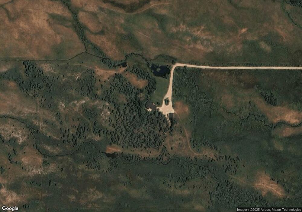
Map
Nearby Homes
- TBD S 500 W
- LOT 5 Walden Ct
- 852 Streamside St
- TBD S Bates Rd
- 2929 Iron Wood Dr
- 680 Stone Peak Loop
- 674 Stone Peak Loop
- 810 Eagles Rest Dr
- 662 Stone Peak Loop
- 430 Forest View Dr
- 448 Forest View Dr
- 1102&1108 Pine View Ln
- 1102&1108 Pineview Ln
- 1102 Pine View Ln
- 1227 Pine View Ln
- 337 Forest View Dr
- 424 Clubmoss Ln
- TBD S Hwy 33
- 196 Cloudveil Ct
- 882 Stone Crop Rd
- 1251 W 2000 S
- TBD W 2000 S
- 461 W 200 S
- 481 W 200 S
- 474 W 200 S
- 450 W 200 S
- TBD W 2000s
- 2000 S 500 W
- 1260 W 3000 S
- 2116 S 500 W
- 724 Rocky Road Industrial Loop Unit 2
- 132 W 3000 S
- 744 Rocky Road Industrial Loop
- 744 Rocky Road Industrial Loop
- 1164 W 3000 S
- 744 Rocky Road Industrial Loop
- 744 Rocky Indus Rd
- 1164 W 3000 S
- 684 Rocky Road Industrial Loop
- TBD 5.81AC W 3000 S
Your Personal Tour Guide
Ask me questions while you tour the home.