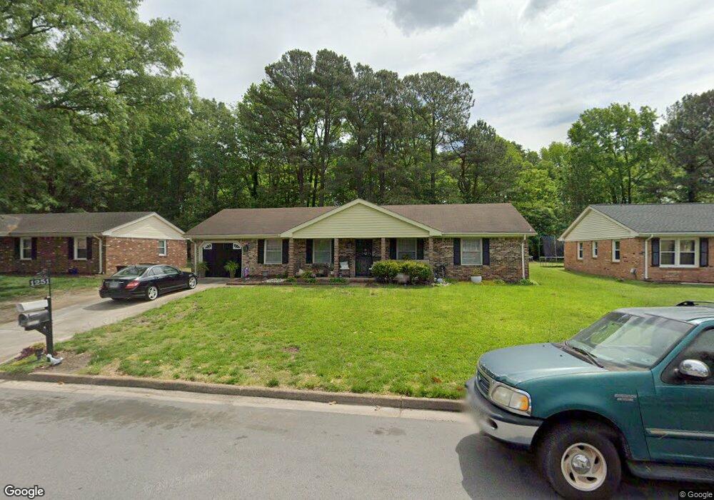
1251 E Eva Blvd Chesapeake, VA 23320
South Norfolk NeighborhoodEstimated Value: $335,000 - $355,390
4
Beds
2
Baths
2,241
Sq Ft
$154/Sq Ft
Est. Value
About This Home
This home is located at 1251 E Eva Blvd, Chesapeake, VA 23320 and is currently estimated at $344,848, approximately $153 per square foot. 1251 E Eva Blvd is a home located in Chesapeake City with nearby schools including B.M. Williams Primary School, Crestwood Intermediate School, and Crestwood Middle School.
Ownership History
Date
Name
Owned For
Owner Type
Purchase Details
Closed on
Aug 3, 2004
Sold by
Sec Of H U D
Bought by
Anderson Delores D
Current Estimated Value
Home Financials for this Owner
Home Financials are based on the most recent Mortgage that was taken out on this home.
Original Mortgage
$132,350
Interest Rate
5.84%
Mortgage Type
FHA
Create a Home Valuation Report for This Property
The Home Valuation Report is an in-depth analysis detailing your home's value as well as a comparison with similar homes in the area
Home Values in the Area
Average Home Value in this Area
Purchase History
| Date | Buyer | Sale Price | Title Company |
|---|---|---|---|
| Anderson Delores D | $137,000 | -- |
Source: Public Records
Mortgage History
| Date | Status | Borrower | Loan Amount |
|---|---|---|---|
| Previous Owner | Anderson Delores D | $132,350 |
Source: Public Records
Tax History Compared to Growth
Tax History
| Year | Tax Paid | Tax Assessment Tax Assessment Total Assessment is a certain percentage of the fair market value that is determined by local assessors to be the total taxable value of land and additions on the property. | Land | Improvement |
|---|---|---|---|---|
| 2025 | $3,220 | $332,500 | $120,000 | $212,500 |
| 2024 | $3,220 | $318,800 | $105,000 | $213,800 |
| 2023 | $2,940 | $315,300 | $95,000 | $220,300 |
| 2022 | $2,992 | $296,200 | $85,000 | $211,200 |
| 2021 | $2,591 | $246,800 | $75,000 | $171,800 |
| 2020 | $2,534 | $241,300 | $75,000 | $166,300 |
| 2019 | $2,437 | $232,100 | $75,000 | $157,100 |
| 2018 | $2,415 | $220,900 | $70,000 | $150,900 |
| 2017 | $2,367 | $225,400 | $70,000 | $155,400 |
| 2016 | $2,319 | $220,900 | $70,000 | $150,900 |
| 2015 | $2,319 | $220,900 | $70,000 | $150,900 |
| 2014 | $2,319 | $220,900 | $70,000 | $150,900 |
Source: Public Records
Map
Nearby Homes
- 1225 Keats Station
- 1212 Saul Dr
- 806 Wadena Rd
- 1033 Robert Welch Ln
- 616 Lord Nelson Ct
- 301 Lincoln Rd
- 1114 Railroad Ave
- 112 Grant St
- 813 Mullen Rd
- 407 Harbour North Dr
- 405 Harbour North Dr
- 403 Harbour North Dr
- 412 Prince Phillip Ct
- 852 Mains Creek Rd
- 1509 Waitsel Dr Unit 204
- 1509 Waitsel Dr Unit 102
- 4138 3rd St
- 4136 2nd St
- 929 Costa Ave
- 4317 Alvah Martin Way
- 1249 E Eva Blvd
- 1301 E Eva Blvd
- 1248 E Eva Blvd
- 1245 E Eva Blvd
- 1305 E Eva Blvd
- 1300 E Eva Blvd
- 1244 E Eva Blvd
- 1241 E Eva Blvd
- 1309 E Eva Blvd
- 1304 E Eva Blvd
- 1245 Marge Dr
- 1224 Keats Station
- 1220 Keats Station
- 1405 Cole Dr
- 1240 E Eva Blvd
- 1241 Marge Dr
- 1216 Keats Station
- 1228 Keats Station
- 1308 E Eva Blvd
- 1313 E Eva Blvd