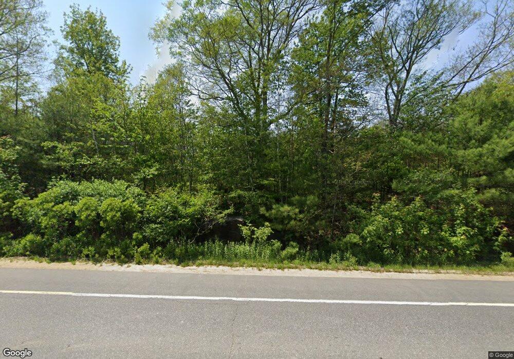
1251 Main Rd Phippsburg, ME 04562
Phippsburg NeighborhoodEstimated Value: $408,000 - $777,000
3
Beds
2
Baths
1,456
Sq Ft
$375/Sq Ft
Est. Value
About This Home
This home is located at 1251 Main Rd, Phippsburg, ME 04562 and is currently estimated at $545,881, approximately $374 per square foot. 1251 Main Rd is a home with nearby schools including Morse High School.
Ownership History
Date
Name
Owned For
Owner Type
Purchase Details
Closed on
Mar 9, 2021
Sold by
Libby John D
Bought by
Libby Karen M
Current Estimated Value
Purchase Details
Closed on
Jun 2, 2009
Sold by
Millett James D
Bought by
Millett Karen M
Home Financials for this Owner
Home Financials are based on the most recent Mortgage that was taken out on this home.
Original Mortgage
$140,800
Interest Rate
4.87%
Mortgage Type
Unknown
Create a Home Valuation Report for This Property
The Home Valuation Report is an in-depth analysis detailing your home's value as well as a comparison with similar homes in the area
Home Values in the Area
Average Home Value in this Area
Purchase History
| Date | Buyer | Sale Price | Title Company |
|---|---|---|---|
| Libby Karen M | -- | None Available | |
| Millett Karen M | -- | -- |
Source: Public Records
Mortgage History
| Date | Status | Borrower | Loan Amount |
|---|---|---|---|
| Previous Owner | Millett Karen M | $140,800 |
Source: Public Records
Tax History Compared to Growth
Tax History
| Year | Tax Paid | Tax Assessment Tax Assessment Total Assessment is a certain percentage of the fair market value that is determined by local assessors to be the total taxable value of land and additions on the property. | Land | Improvement |
|---|---|---|---|---|
| 2024 | $3,165 | $268,700 | $137,100 | $131,600 |
| 2023 | $3,074 | $268,700 | $137,100 | $131,600 |
| 2022 | $2,719 | $268,700 | $137,100 | $131,600 |
| 2021 | $2,445 | $268,700 | $137,100 | $131,600 |
| 2020 | $2,041 | $223,300 | $91,700 | $131,600 |
| 2019 | $2,041 | $223,300 | $91,700 | $131,600 |
| 2018 | $2,019 | $223,300 | $91,700 | $131,600 |
| 2017 | $1,996 | $223,300 | $91,700 | $131,600 |
| 2016 | $1,947 | $223,300 | $91,700 | $131,600 |
| 2015 | $1,911 | $223,300 | $91,700 | $131,600 |
| 2014 | $1,742 | $223,300 | $91,700 | $131,600 |
Source: Public Records
Map
Nearby Homes
- 218 Sam Day Hill Rd
- 04-06 Main Rd
- 17 Kennebec Shores North Rd N
- Lot 58-2 Kindred Way
- 25 Echo Ln
- 15 Church Ln
- 1682 Main Rd
- 41 Beaver Lodge Ln
- Lot 82-C Hartland Dr
- 8 Holbrook Dr
- 7-1 Wrong Way Dr
- 11 Gomez Rd
- 230 Sebasco Rd
- 29 Sagamore Dr Unit 29 - TBB
- Lot 17 Sagamore Dr Unit 17
- 65 Shell Rd
- Lot 5 Sagamore Dr
- Lot 3 Sagamore Dr
- 1-A Winnegance Ln
- 943 Cundys Harbor Rd
