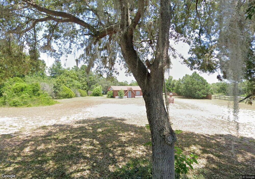
1251 Michael Ave Deltona, FL 32738
Estimated Value: $269,000 - $348,029
3
Beds
2
Baths
1,680
Sq Ft
$180/Sq Ft
Est. Value
About This Home
This home is located at 1251 Michael Ave, Deltona, FL 32738 and is currently estimated at $302,007, approximately $179 per square foot. 1251 Michael Ave is a home with nearby schools including Deltona Lakes Elementary School, Heritage Middle School, and Pine Ridge High School.
Ownership History
Date
Name
Owned For
Owner Type
Purchase Details
Closed on
Jun 8, 2018
Sold by
Wise Judy A
Bought by
Wise Judy A and Feinsod Mitchell S
Current Estimated Value
Purchase Details
Closed on
Oct 14, 2013
Sold by
Brown David E and Brown Sharon L
Bought by
Wise Judy A
Purchase Details
Closed on
Sep 10, 1999
Sold by
Wise Mary E
Bought by
Wise Judy A
Purchase Details
Closed on
Jan 31, 1997
Sold by
Rollins Sandra
Bought by
Wise Judy A and Wise Mary E
Purchase Details
Closed on
Feb 15, 1991
Bought by
Wise Judy A
Purchase Details
Closed on
Jul 15, 1974
Bought by
Wise Judy A
Create a Home Valuation Report for This Property
The Home Valuation Report is an in-depth analysis detailing your home's value as well as a comparison with similar homes in the area
Home Values in the Area
Average Home Value in this Area
Purchase History
| Date | Buyer | Sale Price | Title Company |
|---|---|---|---|
| Wise Judy A | -- | Attorney | |
| Wise Judy A | -- | Attorney | |
| Wise Judy A | -- | -- | |
| Wise Judy A | $80,000 | -- | |
| Wise Judy A | $100 | -- | |
| Wise Judy A | $100 | -- |
Source: Public Records
Tax History Compared to Growth
Tax History
| Year | Tax Paid | Tax Assessment Tax Assessment Total Assessment is a certain percentage of the fair market value that is determined by local assessors to be the total taxable value of land and additions on the property. | Land | Improvement |
|---|---|---|---|---|
| 2025 | $2,018 | $136,843 | -- | -- |
| 2024 | $2,018 | $132,987 | -- | -- |
| 2023 | $2,018 | $129,114 | $0 | $0 |
| 2022 | $1,987 | $125,353 | $0 | $0 |
| 2021 | $2,025 | $121,702 | $0 | $0 |
| 2020 | $1,996 | $120,022 | $0 | $0 |
| 2019 | $2,008 | $117,324 | $0 | $0 |
| 2018 | $1,982 | $115,136 | $0 | $0 |
| 2017 | $1,957 | $112,768 | $0 | $0 |
| 2016 | $1,889 | $110,449 | $0 | $0 |
| 2015 | $1,922 | $109,681 | $0 | $0 |
| 2014 | $1,896 | $108,811 | $0 | $0 |
Source: Public Records
Map
Nearby Homes
- 1961 Paragon St
- 1922 Marlow St
- 2180 MacHardy Rd
- 2103 Watersedge Dr
- 1422 W Orion Cir
- 2090 Lakebreeze Way
- 1082 Worthington Dr
- 1113 Fort Smith Blvd
- 2099 Newmark Dr
- 1501 Fort Smith Blvd
- 2332 Salem Dr
- 2067 Everest St
- 1057 Fort Smith Blvd
- 973 Radford Dr
- 968 Fort Smith Blvd
- 2004 Prescott Blvd
- 1762 Philadelphia Ct
- 1518 Daroca Dr
- 2375 Salem Dr
- 1533 Fort Smith Blvd
- 1273 Michael Ave
- 1231 Michael Ave
- 2110 MacHardy Rd
- 1299 Michael Ave
- 2020 Cary St
- 2030 Cary St
- 2040 Cary St
- 2000 Cary St
- 2120 MacHardy Rd
- 1289 Worthington Dr
- 1293 Worthington Dr
- 1281 Worthington Dr
- 1297 Worthington Dr
- 1299 Worthington Dr
- 1265 Worthington Dr
- 1998 Cary St
- 1301 Worthington Dr
- 1257 Worthington Dr
- 2011 Cary St
- 2041 Cary St