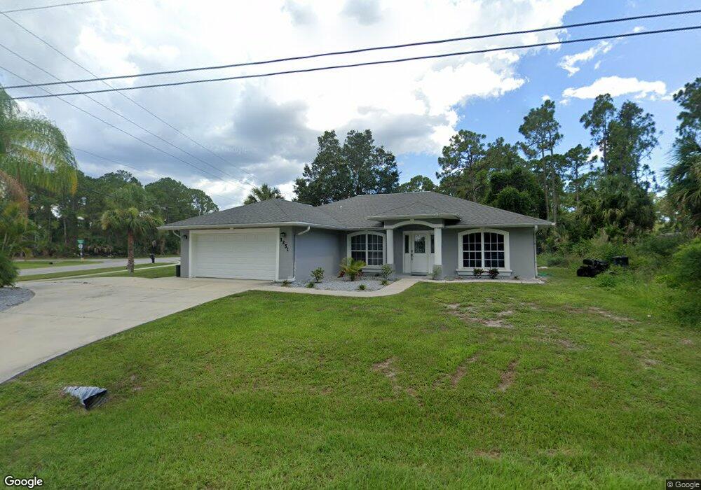
1251 S Chamberlain Blvd North Port, FL 34286
Estimated Value: $346,000 - $393,000
3
Beds
2
Baths
1,784
Sq Ft
$208/Sq Ft
Est. Value
About This Home
This home is located at 1251 S Chamberlain Blvd, North Port, FL 34286 and is currently estimated at $370,253, approximately $207 per square foot. 1251 S Chamberlain Blvd is a home located in Sarasota County with nearby schools including Toledo Blade Elementary School, North Port High School, and Woodland Middle School.
Ownership History
Date
Name
Owned For
Owner Type
Purchase Details
Closed on
Jul 1, 2004
Sold by
Jackson Timothy L and Jackson Miriam A
Bought by
Gilley Brandon
Current Estimated Value
Home Financials for this Owner
Home Financials are based on the most recent Mortgage that was taken out on this home.
Original Mortgage
$118,500
Outstanding Balance
$61,471
Interest Rate
5.75%
Mortgage Type
Purchase Money Mortgage
Estimated Equity
$308,782
Purchase Details
Closed on
Mar 19, 2004
Sold by
Gilley Billy
Bought by
Gilley Brandon
Purchase Details
Closed on
Jan 21, 1997
Sold by
Clerk Circuit Court
Bought by
Cook Horace A
Create a Home Valuation Report for This Property
The Home Valuation Report is an in-depth analysis detailing your home's value as well as a comparison with similar homes in the area
Home Values in the Area
Average Home Value in this Area
Purchase History
| Date | Buyer | Sale Price | Title Company |
|---|---|---|---|
| Gilley Brandon | -- | Safetitle Co | |
| Gilley Brandon | -- | -- | |
| Cook Horace A | $1,600 | -- |
Source: Public Records
Mortgage History
| Date | Status | Borrower | Loan Amount |
|---|---|---|---|
| Open | Gilley Brandon | $118,500 |
Source: Public Records
Tax History Compared to Growth
Tax History
| Year | Tax Paid | Tax Assessment Tax Assessment Total Assessment is a certain percentage of the fair market value that is determined by local assessors to be the total taxable value of land and additions on the property. | Land | Improvement |
|---|---|---|---|---|
| 2024 | $4,197 | $357,000 | $22,000 | $335,000 |
| 2023 | $4,197 | $269,242 | $0 | $0 |
| 2022 | $4,588 | $293,400 | $21,300 | $272,100 |
| 2021 | $3,857 | $201,100 | $9,300 | $191,800 |
| 2020 | $3,657 | $188,100 | $8,500 | $179,600 |
| 2019 | $3,334 | $168,600 | $8,500 | $160,100 |
| 2018 | $3,069 | $167,200 | $9,000 | $158,200 |
| 2017 | $2,853 | $139,236 | $0 | $0 |
| 2016 | $2,700 | $140,000 | $4,900 | $135,100 |
| 2015 | $2,486 | $118,100 | $4,400 | $113,700 |
| 2014 | $2,288 | $95,100 | $0 | $0 |
Source: Public Records
Map
Nearby Homes
- 2293 Pilger Ave
- 0 Ruiz St Unit MFRC7506881
- 0 Renfro Ave Unit MFRC7506882
- 0 Pilger Ave Unit MFRC7512574
- 2179 W Price Blvd
- 1022 S Lavina St
- 0 Altoona Ave Unit MFRA4653713
- 0 Marconi Ave
- 1081 Mccrory St
- 0 Simonton Ave Unit MFRO6327325
- 0 Simonton Ave Unit MFRC7492560
- 0 Simonton Ave Unit MFRC7489715
- 0 Yankee Terrace Unit MFRA4626224
- 0 Yankee Terrace Unit A4524102
- 0 Bushnell Ave Unit MFRG5097812
- 6 Simonton Ave
- 0 Sadnet Ln Unit MFRC7514621
- 0 Sadnet Ln Unit MFRC7506983
- 0 Ripley C-12 St Unit A4557491
- 0 Ripley St
- 1283 S Chamberlain Blvd
- 0 Manheim Ave Unit C7403498
- 0 Manheim Ave Unit C7402535
- 0 Manheim Ave Unit MFRO6248121
- 0 Manheim Ave Unit MFRC7493219
- 0 Manheim Ave Unit C7460689
- 0 Manheim Ave Unit 222037125
- 0 Manheim Ave Unit C7457798
- 0 Manheim Ave Unit C7455481
- 0 Manheim Ave Unit D6122117
- Manheim Ave
- Manheim Ave
- Manheim Ave
- 0 Manheim Ave Unit N6116917
- 0 Manheim Ave Unit C7446344
- 0 Manheim Ave Unit C7441575
- Manheim
- Manheim Ave
- Manheim Ave
- Manheim Ave