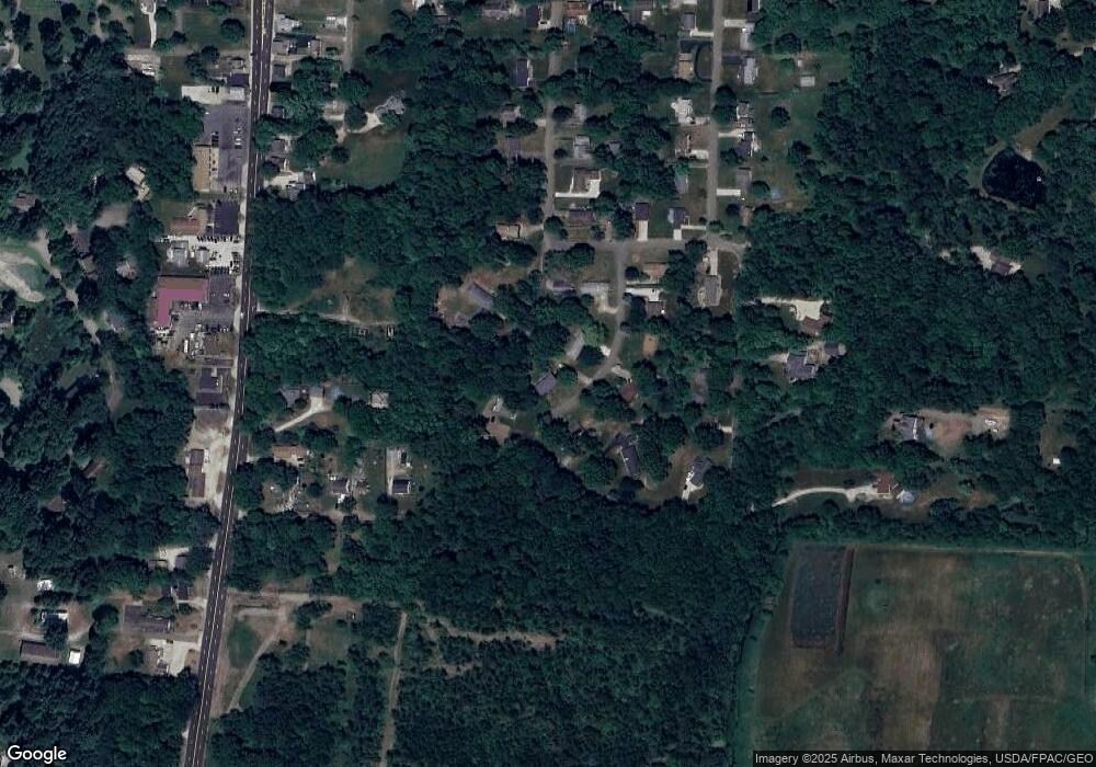
12515 Amber Cir NW Uniontown, OH 44685
Estimated Value: $265,433 - $302,000
3
Beds
3
Baths
1,368
Sq Ft
$212/Sq Ft
Est. Value
About This Home
This home is located at 12515 Amber Cir NW, Uniontown, OH 44685 and is currently estimated at $289,858, approximately $211 per square foot. 12515 Amber Cir NW is a home located in Stark County with nearby schools including Lake Middle/High School, Lake Center Christian School, and Mayfair Christian School.
Ownership History
Date
Name
Owned For
Owner Type
Purchase Details
Closed on
Aug 22, 2016
Sold by
Mary Moriarty
Bought by
Kennedy Andrew and Kennedy Andrew
Current Estimated Value
Home Financials for this Owner
Home Financials are based on the most recent Mortgage that was taken out on this home.
Original Mortgage
$144,542
Outstanding Balance
$115,141
Interest Rate
3.43%
Estimated Equity
$174,717
Purchase Details
Closed on
Nov 22, 1993
Purchase Details
Closed on
Mar 12, 1991
Create a Home Valuation Report for This Property
The Home Valuation Report is an in-depth analysis detailing your home's value as well as a comparison with similar homes in the area
Home Values in the Area
Average Home Value in this Area
Purchase History
| Date | Buyer | Sale Price | Title Company |
|---|---|---|---|
| Kennedy Andrew | -- | -- | |
| -- | -- | -- | |
| -- | -- | -- |
Source: Public Records
Mortgage History
| Date | Status | Borrower | Loan Amount |
|---|---|---|---|
| Open | Kennedy Andrew | $144,542 | |
| Closed | Kennedy Andrew | -- |
Source: Public Records
Tax History Compared to Growth
Tax History
| Year | Tax Paid | Tax Assessment Tax Assessment Total Assessment is a certain percentage of the fair market value that is determined by local assessors to be the total taxable value of land and additions on the property. | Land | Improvement |
|---|---|---|---|---|
| 2025 | -- | $96,220 | $25,870 | $70,350 |
| 2024 | -- | $96,220 | $25,870 | $70,350 |
| 2023 | $3,770 | $73,470 | $16,070 | $57,400 |
| 2022 | $3,782 | $73,470 | $16,070 | $57,400 |
| 2021 | $3,823 | $73,470 | $16,070 | $57,400 |
| 2020 | $3,747 | $64,340 | $13,830 | $50,510 |
| 2019 | $3,215 | $55,620 | $13,830 | $41,790 |
| 2018 | $3,220 | $55,620 | $13,830 | $41,790 |
| 2017 | $3,119 | $49,840 | $14,840 | $35,000 |
| 2016 | $2,819 | $43,820 | $7,280 | $36,540 |
| 2015 | $2,207 | $43,820 | $7,280 | $36,540 |
| 2014 | $1,565 | $34,200 | $5,670 | $28,530 |
| 2013 | $783 | $34,200 | $5,670 | $28,530 |
Source: Public Records
Map
Nearby Homes
- 12855 Redwood Ave NW
- 0 Pine St NW
- 13025 Sunset Cir NW
- 3771 Edison St NW
- 843 Brodie Ct
- 835 Brodie Ct
- 12235 Cantburg Ave NW
- 12494 Bridgemont Ave NW
- 2693 Ledgestone Dr NW
- 3979 Northdale St NW
- 2754 Irma Dr
- 3885 Hugh St NW
- 2335 Ledgestone Dr NW
- 2273 Ledgestone Dr NW
- 2319 Ledgestone Dr NW
- 2255 Ledgestone Dr NW
- 2334 Ledgestone Dr NW
- 2244 Ledgestone Dr NW
- 2316 Ledgestone Dr NW
- 2490 Ledgestone Dr NW
- 12505 Amber Cir NW
- 12533 Amber Cir NW
- 12536 Amber Cir NW
- 3340 Polly St NW
- 12506 Amber Cir NW
- 12797 Oakwood Ave NW
- 3330 Polly St NW
- 12488 Amber Cir NW
- 12595 Amber Cir NW
- 12801 Oakwood Ave NW
- 12474 Amber Cir NW
- 12817 Oakwood Ave NW
- 12717 Amber Cir NW
- 12701 Amber Cir NW
- 12460 Amber Cir NW
- 3333 Polly St NW
- 3421 Hilltop St NW
- 12677 Amber Cir NW
- 12735 Amber Cir NW
- 12831 Oakwood Ave NW
