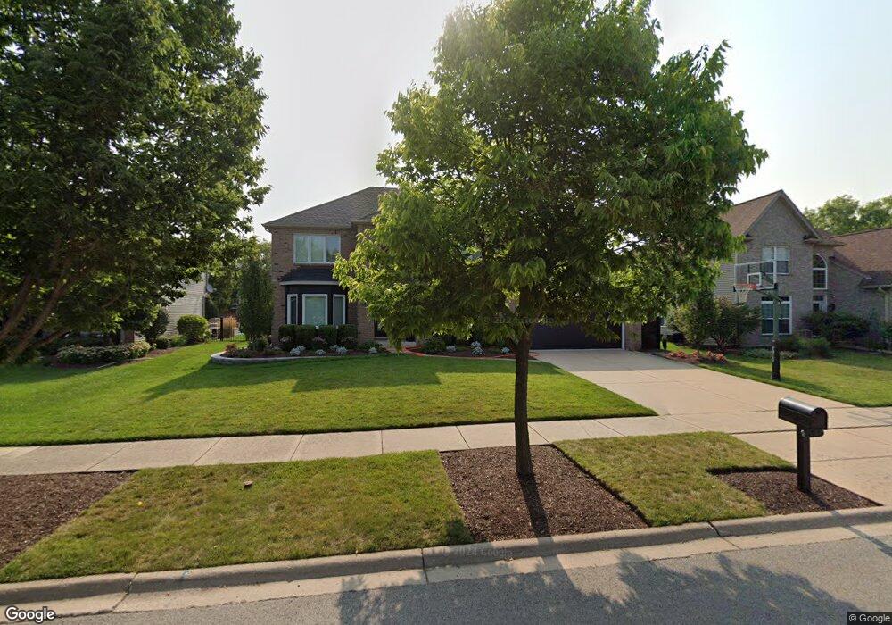
12517 Larkspur Ln Plainfield, IL 60585
North Plainfield NeighborhoodEstimated Value: $598,091 - $677,000
4
Beds
3
Baths
2,909
Sq Ft
$219/Sq Ft
Est. Value
About This Home
This home is located at 12517 Larkspur Ln, Plainfield, IL 60585 and is currently estimated at $636,023, approximately $218 per square foot. 12517 Larkspur Ln is a home located in Will County with nearby schools including Eagle Pointe Elementary School, Heritage Grove Middle School, and Plainfield North High School.
Ownership History
Date
Name
Owned For
Owner Type
Purchase Details
Closed on
Jun 10, 2019
Sold by
Burchsted Roy James and Burchsted Margaret Mary
Bought by
Burchsted Roy James and Burchsted Margaret Mary
Current Estimated Value
Purchase Details
Closed on
Jul 30, 2011
Sold by
Berthoud Michael Scott and Berthoud Amanda C
Bought by
Burchsted Roy J and Burchsted Margaret M
Home Financials for this Owner
Home Financials are based on the most recent Mortgage that was taken out on this home.
Original Mortgage
$272,800
Outstanding Balance
$188,531
Interest Rate
4.53%
Mortgage Type
New Conventional
Estimated Equity
$447,492
Purchase Details
Closed on
Apr 25, 2003
Sold by
Schaff Builders Inc
Bought by
Berthoud Michael Scott and Berthoud Amanda C
Home Financials for this Owner
Home Financials are based on the most recent Mortgage that was taken out on this home.
Original Mortgage
$229,000
Interest Rate
5.86%
Mortgage Type
Purchase Money Mortgage
Create a Home Valuation Report for This Property
The Home Valuation Report is an in-depth analysis detailing your home's value as well as a comparison with similar homes in the area
Home Values in the Area
Average Home Value in this Area
Purchase History
| Date | Buyer | Sale Price | Title Company |
|---|---|---|---|
| Burchsted Roy James | -- | Attorney | |
| Burchsted Roy J | $341,000 | First American Title | |
| Berthoud Michael Scott | $339,000 | Chicago Title Insurance Co |
Source: Public Records
Mortgage History
| Date | Status | Borrower | Loan Amount |
|---|---|---|---|
| Open | Burchsted Roy J | $272,800 | |
| Previous Owner | Berthoud Michael Scott | $229,000 |
Source: Public Records
Tax History
| Year | Tax Paid | Tax Assessment Tax Assessment Total Assessment is a certain percentage of the fair market value that is determined by local assessors to be the total taxable value of land and additions on the property. | Land | Improvement |
|---|---|---|---|---|
| 2024 | $12,065 | $176,566 | $36,449 | $140,117 |
| 2023 | $12,065 | $155,977 | $32,199 | $123,778 |
| 2022 | $10,516 | $140,013 | $30,459 | $109,554 |
| 2021 | $9,936 | $130,528 | $29,010 | $101,518 |
| 2020 | $9,926 | $128,459 | $28,550 | $99,909 |
| 2019 | $9,772 | $124,838 | $27,745 | $97,093 |
| 2018 | $10,416 | $130,031 | $27,135 | $102,896 |
| 2017 | $9,777 | $117,783 | $26,434 | $91,349 |
| 2016 | $9,801 | $115,248 | $25,865 | $89,383 |
| 2015 | $10,266 | $110,815 | $24,870 | $85,945 |
| 2014 | $10,266 | $114,623 | $24,870 | $89,753 |
| 2013 | $10,266 | $114,623 | $24,870 | $89,753 |
Source: Public Records
Map
Nearby Homes
- 12542 Larkspur Ln
- 12455 S Compass Ave
- 12460 S Compass Ave
- 12843 Bradford Ln Unit 2
- 24436 W Alexis Ln
- 24462 W Alexis Ln Unit 59368
- 24434 W Alexis Ln Unit 56400
- 24432 W Alexis Ln Unit 56401
- 24430 W Alexis Ln Unit 56402
- 24424 W Alexis Ln Unit 55405
- 24454 W Kroll Dr Unit 65397
- 24029 Pear Tree Cir
- 24456 W Kroll Dr Unit 65396
- 24507 W Alexis Ln Unit 63389
- 24604 W Cardinal Point
- 24502 W Kroll Dr Unit 66393
- 24504 W Kroll Dr Unit 66392
- 24190 Pear Tree Cir Unit 171308
- 12361 S Meridian Ln
- 12901 Norwich St
- 12525 Larkspur Ln
- 12509 Larkspur Ln
- 12518 Lily Ln
- 12501 Larkspur Ln
- 12533 Larkspur Ln
- 12526 Lily Ln
- 12510 Lily Ln
- 12518 Larkspur Ln
- 12510 Larkspur Ln
- 12502 Lily Ln
- 12526 Larkspur Ln
- 12541 Larkspur Ln
- 12502 Larkspur Ln
- 24241 Prairie Grove Dr
- 12534 Larkspur Ln
- 12542 Lily Ln
- 24233 W Prairie Grove Dr
- 24233 Prairie Grove Dr
- 12549 Larkspur Ln
- 24225 Prairie Grove Dr
Your Personal Tour Guide
Ask me questions while you tour the home.