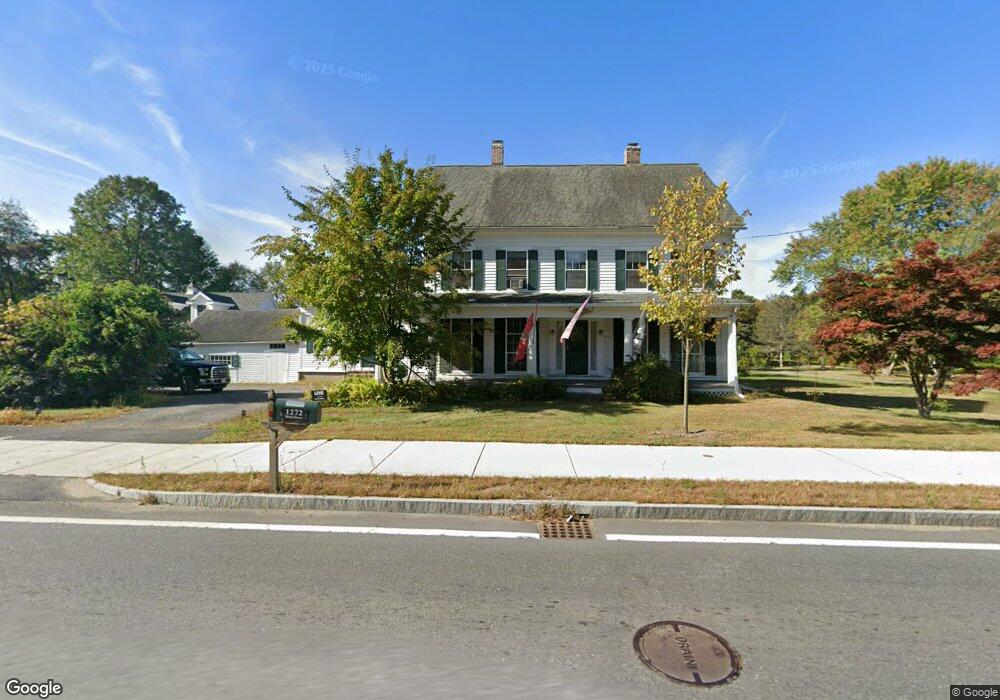
1252 Main St Lancaster, MA 01523
Estimated Value: $565,000 - $674,000
3
Beds
2
Baths
1,960
Sq Ft
$306/Sq Ft
Est. Value
About This Home
This home is located at 1252 Main St, Lancaster, MA 01523 and is currently estimated at $599,469, approximately $305 per square foot. 1252 Main St is a home located in Worcester County with nearby schools including Mary Rowlandson Elementary School, Luther Burbank Middle School, and Nashoba Regional High School.
Ownership History
Date
Name
Owned For
Owner Type
Purchase Details
Closed on
Jun 26, 2025
Sold by
Bradford Bruce W and Bradford Helen F
Bought by
Cahill Katherine
Current Estimated Value
Purchase Details
Closed on
Aug 15, 1984
Bought by
Bradford Bruce and Bradford Helen
Create a Home Valuation Report for This Property
The Home Valuation Report is an in-depth analysis detailing your home's value as well as a comparison with similar homes in the area
Home Values in the Area
Average Home Value in this Area
Purchase History
| Date | Buyer | Sale Price | Title Company |
|---|---|---|---|
| Cahill Katherine | -- | -- | |
| Cahill Katherine | -- | -- | |
| Bradford Bruce | -- | -- |
Source: Public Records
Mortgage History
| Date | Status | Borrower | Loan Amount |
|---|---|---|---|
| Previous Owner | Bradford Bruce | $59,000 | |
| Previous Owner | Bradford Bruce | $50,000 | |
| Previous Owner | Bradford Bruce | $10,000 |
Source: Public Records
Tax History
| Year | Tax Paid | Tax Assessment Tax Assessment Total Assessment is a certain percentage of the fair market value that is determined by local assessors to be the total taxable value of land and additions on the property. | Land | Improvement |
|---|---|---|---|---|
| 2025 | $7,981 | $493,900 | $107,600 | $386,300 |
| 2024 | $7,801 | $446,800 | $98,100 | $348,700 |
| 2023 | $0 | $431,600 | $89,200 | $342,400 |
| 2022 | $6,520 | $335,200 | $82,700 | $252,500 |
| 2021 | $6,322 | $316,400 | $82,700 | $233,700 |
| 2020 | $5,705 | $287,400 | $82,800 | $204,600 |
| 2019 | $5,394 | $273,100 | $82,800 | $190,300 |
| 2018 | $5,125 | $256,500 | $82,800 | $173,700 |
| 2016 | $4,776 | $244,300 | $81,800 | $162,500 |
| 2015 | $4,499 | $239,800 | $81,800 | $158,000 |
| 2014 | $4,419 | $233,700 | $81,800 | $151,900 |
Source: Public Records
Map
Nearby Homes
- 0 Main St
- 144 Seven Bridge Rd
- 892 Main St
- 303 Ponakin Rd
- 2038-1 Laurel Hill Ln
- 2038 Laurel Hill Ln Unit LOT 18
- 18 Highfield Dr
- 73 Prescott St
- 2290 Main St
- 132 Kilbourn Rd
- 76 Mill St Unit 3
- 1497 Lunenburg Rd
- 113 Parker Rd Unit 1
- 40 Forbush Mill Rd
- 295 Vaughn Hill Rd
- 0 Parker Rd
- 12 Woodruff Rd
- 920 Ridgefield Cir Unit C
- 28 Goose Pond Path
- 46 Woodruff Rd
- 1234 Main St
- 1272 Main St
- 1241 Main St
- 1257 Main St
- Lot 1 & 2 Old County Rd
- Lots 1++ Pine St Extension
- Lot 8A Pine St Extension
- 43 Blue Heron Pond Unit 43
- U37 Red Tail Way Unit 37
- U35 Red Tail Way Unit 35
- U58 Red Tail Way Unit 58
- U56 Red Tail Way Unit 56
- LT 12A Whitetail Ln
- Lot 2 Elizabeth Ln
- 1263 Main St
- 1219 Main St
- 1265 Main St
- 26 Shirley Rd
- 26 Shirley Rd Unit 1
- 9 Otis St
Your Personal Tour Guide
Ask me questions while you tour the home.