Estimated Value: $949,000 - $1,119,000
6
Beds
5
Baths
3,209
Sq Ft
$319/Sq Ft
Est. Value
About This Home
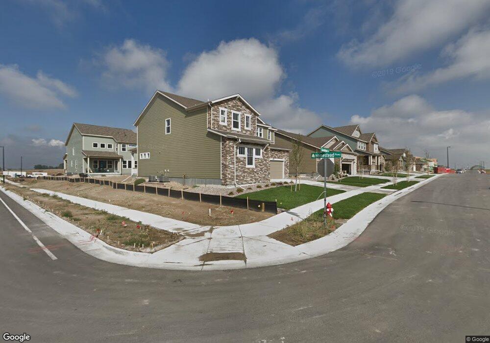
This home is located at 1252 Sandstone Cir, Erie, CO 80516 and is currently estimated at $1,022,370, approximately $318 per square foot. 1252 Sandstone Cir is a home with nearby schools including Meadowlark School, Centaurus High School, and Aspen Ridge Preparatory School.
Ownership History
Date
Name
Owned For
Owner Type
Purchase Details
Closed on
Aug 31, 2020
Sold by
Wofford Michael and Wofford Aleksandra Klosok
Bought by
Redman Willingham Michelle Veronica and Willingham Jeffrey Thomas
Current Estimated Value
Home Financials for this Owner
Home Financials are based on the most recent Mortgage that was taken out on this home.
Original Mortgage
$576,000
Outstanding Balance
$512,101
Interest Rate
3%
Mortgage Type
New Conventional
Estimated Equity
$510,269
Purchase Details
Closed on
Aug 30, 2018
Sold by
William Lyon Homes Inc
Bought by
Wofford Michael
Home Financials for this Owner
Home Financials are based on the most recent Mortgage that was taken out on this home.
Original Mortgage
$635,195
Interest Rate
4.5%
Mortgage Type
VA
Create a Home Valuation Report for This Property
The Home Valuation Report is an in-depth analysis detailing your home's value as well as a comparison with similar homes in the area
Home Values in the Area
Average Home Value in this Area
Purchase History
| Date | Buyer | Sale Price | Title Company |
|---|---|---|---|
| Redman Willingham Michelle Veronica | $720,000 | Fidelity National Title | |
| Wofford Michael | $678,262 | Land Title Guarantee Co |
Source: Public Records
Mortgage History
| Date | Status | Borrower | Loan Amount |
|---|---|---|---|
| Open | Redman Willingham Michelle Veronica | $576,000 | |
| Previous Owner | Wofford Michael | $635,195 |
Source: Public Records
Tax History Compared to Growth
Tax History
| Year | Tax Paid | Tax Assessment Tax Assessment Total Assessment is a certain percentage of the fair market value that is determined by local assessors to be the total taxable value of land and additions on the property. | Land | Improvement |
|---|---|---|---|---|
| 2025 | $8,397 | $59,344 | $11,056 | $48,288 |
| 2024 | $8,397 | $59,344 | $11,056 | $48,288 |
| 2023 | $10,117 | $61,975 | $15,015 | $50,645 |
| 2022 | $7,516 | $44,724 | $9,501 | $35,223 |
| 2021 | $7,515 | $46,010 | $9,774 | $36,236 |
| 2020 | $6,873 | $41,820 | $6,292 | $35,528 |
| 2019 | $6,816 | $41,820 | $6,292 | $35,528 |
| 2018 | $4,158 | $26,100 | $26,100 | $0 |
Source: Public Records
Map
Nearby Homes
- 1195 Fox Hills Ct
- 1331 Fountain Ln
- 1063 Sandstone Cir
- 848 Sandstone Cir
- 2326 Carbonate Cir
- 1041 Homestead Rd
- 1381 Siltstone St
- 972 Carbonate Ln
- 1920 Marfell St
- 908 Dinosaur Dr
- 825 Dakota Ln
- 2268 Front Range Rd
- 772 Carbonate Ln
- 753 Carbonate Ln
- 620 Sundance Cir
- 1182 Red Iron Ct
- 648 Sundance Cir
- 1205 Red Iron Ct
- 1842 Southard St
- 650 Smoky Hills Ln
- 1240 Sandstone Cir
- 1235 Fox Hills Ct
- 1228 Sandstone Cir
- 1225 Fox Hills Ct
- 1215 Fox Hills Ct
- 1216 Sandstone Cir
- 1255 Sandstone Cir
- 1205 Fox Hills Ct
- 1243 Sandstone Cir
- 1231 Sandstone Cir
- 1204 Sandstone Cir
- 1219 Sandstone Cir
- 1212 Fox Hills Ct
- 1230 Homestead Rd
- 1192 Sandstone Cir
- 1220 Homestead Rd
- 1202 Fox Hills Ct
- 1207 Sandstone Cir
- 1210 Homestead Rd
- 1210 Homestead Rd