1252 Shore Dr Manning, SC 29102
Estimated Value: $522,000 - $1,093,000
5
Beds
4
Baths
4,577
Sq Ft
$172/Sq Ft
Est. Value
About This Home
This home is located at 1252 Shore Dr, Manning, SC 29102 and is currently estimated at $785,173, approximately $171 per square foot. 1252 Shore Dr is a home located in Clarendon County.
Ownership History
Date
Name
Owned For
Owner Type
Purchase Details
Closed on
Mar 16, 2016
Sold by
Raley Irene J
Bought by
June Robert B
Current Estimated Value
Home Financials for this Owner
Home Financials are based on the most recent Mortgage that was taken out on this home.
Original Mortgage
$400,000
Outstanding Balance
$158,538
Interest Rate
3.01%
Mortgage Type
Closed End Mortgage
Estimated Equity
$626,635
Purchase Details
Closed on
Jun 17, 2011
Sold by
Raley Christopher L and Raley Kevin Scott
Bought by
Raley Irene J
Create a Home Valuation Report for This Property
The Home Valuation Report is an in-depth analysis detailing your home's value as well as a comparison with similar homes in the area
Home Values in the Area
Average Home Value in this Area
Purchase History
| Date | Buyer | Sale Price | Title Company |
|---|---|---|---|
| June Robert B | -- | None Available | |
| Raley Irene J | -- | None Available |
Source: Public Records
Mortgage History
| Date | Status | Borrower | Loan Amount |
|---|---|---|---|
| Open | June Robert B | $400,000 |
Source: Public Records
Tax History
| Year | Tax Paid | Tax Assessment Tax Assessment Total Assessment is a certain percentage of the fair market value that is determined by local assessors to be the total taxable value of land and additions on the property. | Land | Improvement |
|---|---|---|---|---|
| 2025 | $15,089 | $37,290 | $13,500 | $23,790 |
| 2024 | $14,650 | $37,290 | $13,500 | $23,790 |
| 2023 | $14,261 | $37,290 | $13,500 | $23,790 |
| 2022 | $14,120 | $37,290 | $13,500 | $23,790 |
| 2021 | $12,014 | $34,560 | $13,500 | $21,060 |
| 2020 | $12,014 | $34,560 | $0 | $0 |
| 2019 | $11,503 | $34,560 | $0 | $0 |
| 2018 | $11,073 | $34,560 | $0 | $0 |
| 2017 | $11,040 | $34,560 | $0 | $0 |
| 2016 | $3,704 | $23,040 | $0 | $0 |
| 2015 | $6,004 | $38,828 | $24,000 | $14,828 |
| 2014 | $6,231 | $38,828 | $24,000 | $14,828 |
| 2013 | -- | $38,828 | $24,000 | $14,828 |
Source: Public Records
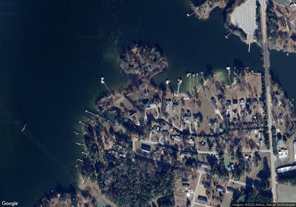
Map
Nearby Homes
- 1088 Shore Dr
- 1156 W A Gamble Rd
- 10841 Hwy 260
- 2112 Lake Shore Dr
- 1401 Charles Dr
- 1416 Litzler Dr
- 1408 Deercreek Dr
- 1390 Nightfall Ln
- 1106 Pontiac Dr
- 1339 Nightfall Ln
- 1605 Rowland Rd
- 1211 Pleasure Dr
- 29 Plantation Dr
- 108 Plantation Dr
- 1580 Stillwater Dr
- 1406 Hobbs Dr
- 1677 Clearview Dr
- 22 Ridge Lake Dr
- 1190 Mill Creek Dr
- 10 N Lake Cir
- 1220 Shore Dr
- 1262 Shore Dr
- 1266 Limerick Ln
- 1256 Limerick Ln
- 1170 Shore Dr
- 1234 Limerick Ln
- 1279 Limerick Ln
- 1154 Shore Dr
- 1268 W A Gamble Rd
- 1304 Limerick Ln
- 1190 Limerick Ln
- 1298 Wa Gamble Rd
- 1191 Limerick Ln
- 1196 Wa Gamble Rd
- 1300 Wa Gamble Rd
- 1164 Limerick Ln
- 1308 Wa Gamble Rd
- 1086 Shore Dr
- 1334 Wa Gamble Rd
- 0 Limerick Ln