Estimated Value: $206,458 - $281,000
--
Bed
2
Baths
1,961
Sq Ft
$127/Sq Ft
Est. Value
About This Home
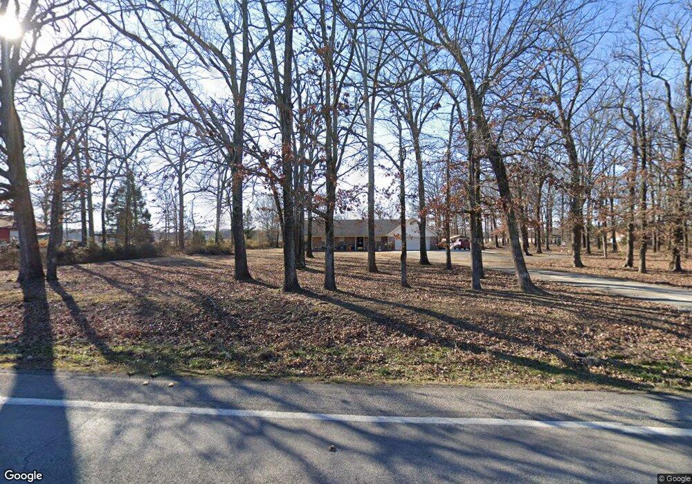
This home is located at 12520 Highway 31 N, Ward, AR 72176 and is currently estimated at $248,115, approximately $126 per square foot. 12520 Highway 31 N is a home located in Lonoke County with nearby schools including Stagecoach Elementary School, Cabot Middle School North, and Cabot Junior High North.
Ownership History
Date
Name
Owned For
Owner Type
Purchase Details
Closed on
Dec 30, 2016
Sold by
Bernard Kevin and Bernard Debbie
Bought by
Bernard Philip
Current Estimated Value
Home Financials for this Owner
Home Financials are based on the most recent Mortgage that was taken out on this home.
Original Mortgage
$139,500
Outstanding Balance
$114,547
Interest Rate
4.08%
Mortgage Type
New Conventional
Estimated Equity
$133,568
Purchase Details
Closed on
Dec 1, 1997
Bought by
Bernard and Bernard Wife
Purchase Details
Closed on
Mar 22, 1994
Bought by
New Horizon Bapt Church
Create a Home Valuation Report for This Property
The Home Valuation Report is an in-depth analysis detailing your home's value as well as a comparison with similar homes in the area
Home Values in the Area
Average Home Value in this Area
Purchase History
| Date | Buyer | Sale Price | Title Company |
|---|---|---|---|
| Bernard Philip | $150,000 | Professional Land Title | |
| Bernard | -- | -- | |
| New Horizon Bapt Church | -- | -- |
Source: Public Records
Mortgage History
| Date | Status | Borrower | Loan Amount |
|---|---|---|---|
| Open | Bernard Philip | $139,500 |
Source: Public Records
Tax History Compared to Growth
Tax History
| Year | Tax Paid | Tax Assessment Tax Assessment Total Assessment is a certain percentage of the fair market value that is determined by local assessors to be the total taxable value of land and additions on the property. | Land | Improvement |
|---|---|---|---|---|
| 2025 | $1,172 | $33,810 | $1,300 | $32,510 |
| 2024 | $1,172 | $33,810 | $1,300 | $32,510 |
| 2023 | $1,172 | $33,810 | $1,300 | $32,510 |
| 2022 | $1,222 | $33,810 | $1,300 | $32,510 |
| 2021 | $1,597 | $33,810 | $1,300 | $32,510 |
| 2020 | $1,469 | $31,020 | $1,300 | $29,720 |
| 2019 | $1,469 | $31,020 | $1,300 | $29,720 |
| 2018 | $1,469 | $31,020 | $1,300 | $29,720 |
| 2017 | $1,315 | $31,020 | $1,300 | $29,720 |
| 2016 | $1,119 | $31,020 | $1,300 | $29,720 |
| 2015 | $1,190 | $32,580 | $1,300 | $31,280 |
| 2014 | $1,190 | $32,580 | $1,300 | $31,280 |
Source: Public Records
Map
Nearby Homes
- 135 Red Bud Ln
- 45 Willow Tree Rd
- 158 Coyote Cir
- 84 E Green Tree Rd
- 0 Timber Creek Dr
- 82 Lenderman Trl Trail
- Lot 31 Whitetail Ridge Rd
- 00 Jones Rd
- 10340 Highway 31 N
- 10340 Hwy 31 N
- 50 Saddle Brook Cove
- 215 Rainwater Dr
- 28 Remington Ln
- 27 Remington Ln
- 0 Hicks Rd Unit 25037662
- Lot 13 Chasey Cove
- 00 Hwy 321
- 10 Patti Cove
- 882 Patty Rd
- 170 Sandy Creek Dr
- 12537 Highway 31 N
- 12578 Highway 31 N
- 12575 Highway 31 N
- 12473 Highway 31 N
- 12600 Highway 31 N
- 455 Eastwood Dr
- 0 Eastwood Dr Unit 16035038
- 0 Eastwood Dr Unit 19026958
- 0 Eastwood Dr Unit 10378010
- 482 Eastwood Dr
- 462 Eastwood Dr
- 462 Eastwood Dr Unit 35 Windstone
- 12714 Highway 31 N
- 410 Eastwood Dr
- 12735 Highway 31 N
- 12805 Highway 31 N
- 12857 Highway 31 N
- 12857 Highway 31 N
- 272 Eastwood Dr
- 12490 Highway 31 N