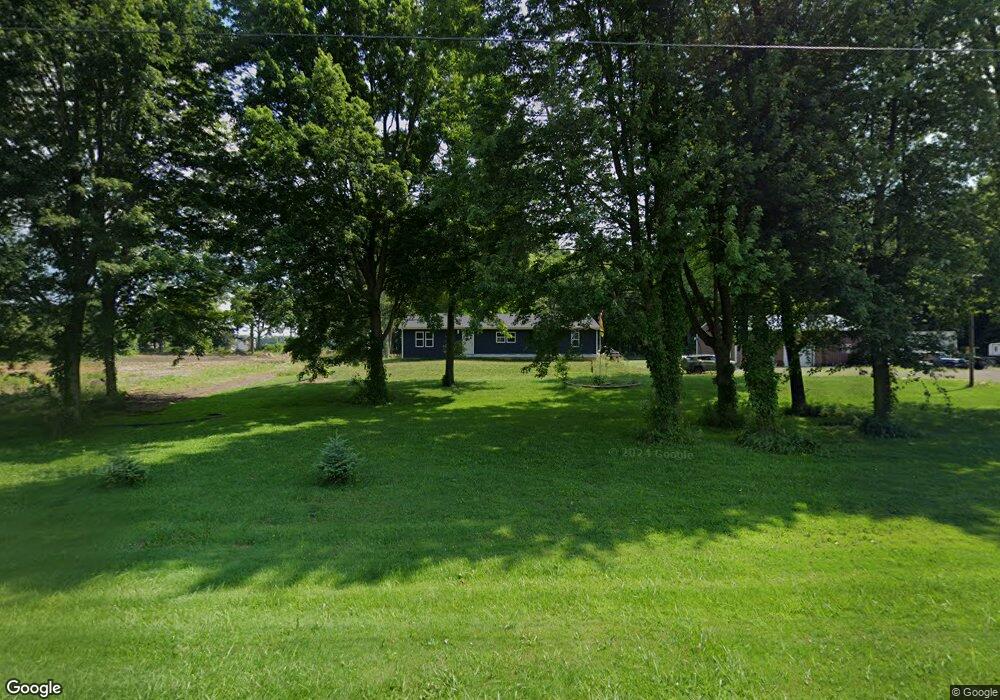
12521 County Road M Wauseon, OH 43567
Estimated Value: $379,484 - $458,000
3
Beds
2
Baths
2,500
Sq Ft
$164/Sq Ft
Est. Value
About This Home
This home is located at 12521 County Road M, Wauseon, OH 43567 and is currently estimated at $410,121, approximately $164 per square foot. 12521 County Road M is a home with nearby schools including Delta Elementary School, Pike-Delta-York Middle School, and Pike-Delta-York High School.
Ownership History
Date
Name
Owned For
Owner Type
Purchase Details
Closed on
Aug 6, 2020
Sold by
Earl Jeffrey M and Earl Penny L
Bought by
Earl Nathan J and Earl Angela C
Current Estimated Value
Home Financials for this Owner
Home Financials are based on the most recent Mortgage that was taken out on this home.
Original Mortgage
$221,808
Outstanding Balance
$195,447
Interest Rate
3%
Mortgage Type
Unknown
Estimated Equity
$214,674
Purchase Details
Closed on
Aug 21, 2003
Sold by
Dulaney James D
Bought by
Estel Nicholas J
Home Financials for this Owner
Home Financials are based on the most recent Mortgage that was taken out on this home.
Original Mortgage
$44,000
Interest Rate
7%
Mortgage Type
Purchase Money Mortgage
Create a Home Valuation Report for This Property
The Home Valuation Report is an in-depth analysis detailing your home's value as well as a comparison with similar homes in the area
Home Values in the Area
Average Home Value in this Area
Purchase History
| Date | Buyer | Sale Price | Title Company |
|---|---|---|---|
| Earl Nathan J | $100,000 | None Available | |
| Estel Nicholas J | $55,000 | -- |
Source: Public Records
Mortgage History
| Date | Status | Borrower | Loan Amount |
|---|---|---|---|
| Open | Earl Nathan J | $221,808 | |
| Previous Owner | Estel Nicholas J | $44,000 |
Source: Public Records
Tax History Compared to Growth
Tax History
| Year | Tax Paid | Tax Assessment Tax Assessment Total Assessment is a certain percentage of the fair market value that is determined by local assessors to be the total taxable value of land and additions on the property. | Land | Improvement |
|---|---|---|---|---|
| 2024 | $4,606 | $117,080 | $9,240 | $107,840 |
| 2023 | $4,615 | $117,080 | $9,240 | $107,840 |
| 2022 | $4,230 | $83,230 | $7,700 | $75,530 |
| 2021 | $4,370 | $83,720 | $7,700 | $76,020 |
| 2020 | $632 | $11,940 | $7,700 | $4,240 |
| 2019 | $577 | $11,240 | $7,560 | $3,680 |
| 2018 | $555 | $11,240 | $7,560 | $3,680 |
| 2017 | $569 | $11,240 | $7,560 | $3,680 |
| 2016 | $555 | $10,570 | $7,560 | $3,010 |
| 2015 | $540 | $10,570 | $7,560 | $3,010 |
| 2014 | $524 | $10,570 | $7,560 | $3,010 |
| 2013 | $584 | $11,630 | $8,160 | $3,470 |
Source: Public Records
Map
Nearby Homes
- 11715 County Road L
- 11396 County Road N
- 11517 County Road 11
- 11670 County Road L
- 8453 County Road 13
- 14640 County Road K
- 0 County Road H
- 7620 County Road 12
- 16099 Us Highway 20
- 117 Fairview St
- 7373 County Road 12
- 110 Hinkle St
- 14900 W Co Rd H
- 14900 County Road H
- 13354 U S 20a
- 508 N Adrian St
- 510 N Adrian St
- 13242 Us Highway 20a
- 460 Airport Hwy
- 14578 Us Highway 20a
- 12631 County Road M
- 12487 County Road M
- 12661 County Road M
- 12711 County Road M
- 12755 County Road M
- 12500 County Road L
- 12939 County Road M
- 12969 County Road M
- 11764 County Road 13
- 12078 County Road 13
- 12116 County Road 13
- 11969 County Road 12
- 11931 County Road 13
- 12556 County Road L
- 12017 County Road 13
- 12129 County Road 13
- 12520 County Road L
- 11880 County Road 12
- 12079 County Road 13
- 12484 County Road L