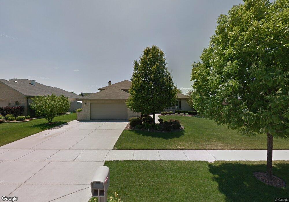
12527 Cedar Ridge Dr Homer Glen, IL 60491
Estimated Value: $415,889 - $628,000
--
Bed
--
Bath
1,458
Sq Ft
$333/Sq Ft
Est. Value
About This Home
This home is located at 12527 Cedar Ridge Dr, Homer Glen, IL 60491 and is currently estimated at $485,722, approximately $333 per square foot. 12527 Cedar Ridge Dr is a home located in Will County with nearby schools including Hadley Middle School, Luther J Schilling School, and Homer Jr High School.
Ownership History
Date
Name
Owned For
Owner Type
Purchase Details
Closed on
Feb 20, 2002
Sold by
Standard Bank & Trust Company
Bought by
Green Daniel W and Flamm Green Linda S
Current Estimated Value
Home Financials for this Owner
Home Financials are based on the most recent Mortgage that was taken out on this home.
Original Mortgage
$85,000
Interest Rate
7.13%
Create a Home Valuation Report for This Property
The Home Valuation Report is an in-depth analysis detailing your home's value as well as a comparison with similar homes in the area
Home Values in the Area
Average Home Value in this Area
Purchase History
| Date | Buyer | Sale Price | Title Company |
|---|---|---|---|
| Green Daniel W | $236,500 | Chicago Title Insurance Co |
Source: Public Records
Mortgage History
| Date | Status | Borrower | Loan Amount |
|---|---|---|---|
| Previous Owner | Green Daniel W | $85,000 |
Source: Public Records
Tax History Compared to Growth
Tax History
| Year | Tax Paid | Tax Assessment Tax Assessment Total Assessment is a certain percentage of the fair market value that is determined by local assessors to be the total taxable value of land and additions on the property. | Land | Improvement |
|---|---|---|---|---|
| 2024 | $7,855 | $124,197 | $28,086 | $96,111 |
| 2023 | $7,855 | $112,579 | $25,459 | $87,120 |
| 2022 | $7,333 | $105,116 | $23,771 | $81,345 |
| 2021 | $7,349 | $99,589 | $22,521 | $77,068 |
| 2020 | $7,369 | $95,924 | $21,692 | $74,232 |
| 2019 | $7,018 | $92,279 | $20,868 | $71,411 |
| 2018 | $6,900 | $89,823 | $20,629 | $69,194 |
| 2017 | $6,770 | $87,309 | $20,052 | $67,257 |
| 2016 | $6,602 | $84,397 | $19,383 | $65,014 |
| 2015 | $7,183 | $81,229 | $18,655 | $62,574 |
| 2014 | $7,183 | $79,551 | $18,270 | $61,281 |
| 2013 | $7,183 | $89,539 | $18,270 | $71,269 |
Source: Public Records
Map
Nearby Homes
- 12459 Rosewood Dr Unit 1
- Fremont Plan at Kingston Hills
- Briarcliffe Plan at Kingston Hills
- Danbury Plan at Kingston Hills
- Calysta Plan at Kingston Hills
- Eden Plan at Kingston Hills
- Amberwood Plan at Kingston Hills
- 14748 S Carlton Ln
- 15022 S Woodcrest Ave Unit 3
- 14715 S Woodcrest Ave
- 14561 S Appaloosa Ln
- 12222 Rambling Rd
- 14542 S Mustang Dr
- 14541 S Bell Rd
- 14453 S Bell Rd
- 15328 Sharon Dr
- 14325 S Bell Rd
- 15507 Willow Ct
- 14225 Mallard Dr
- 15220 Arbor Dr
- 12535 Cedar Ridge Dr
- 12519 Cedar Ridge Dr
- 12524 Rosewood Dr
- 12541 Cedar Ridge Dr
- 12516 Rosewood Dr
- 12532 Rosewood Dr
- 14824 Pheasant Ln
- 12549 Cedar Ridge Dr
- 12530 Cedar Ridge Dr
- 12536 Cedar Ridge Dr
- 14913 Pheasant Ln
- 12540 Rosewood Dr
- 14913 S Pheasant Ln
- 14921 S Pheasant Ln
- 12540 Cedar Ridge Dr
- 14818 S Pheasant Ln
- 12559 Cedar Ridge Dr
- 12548 Cedar Ridge Dr
- 14927 Pheasant Ln
- 12550 Rosewood Dr