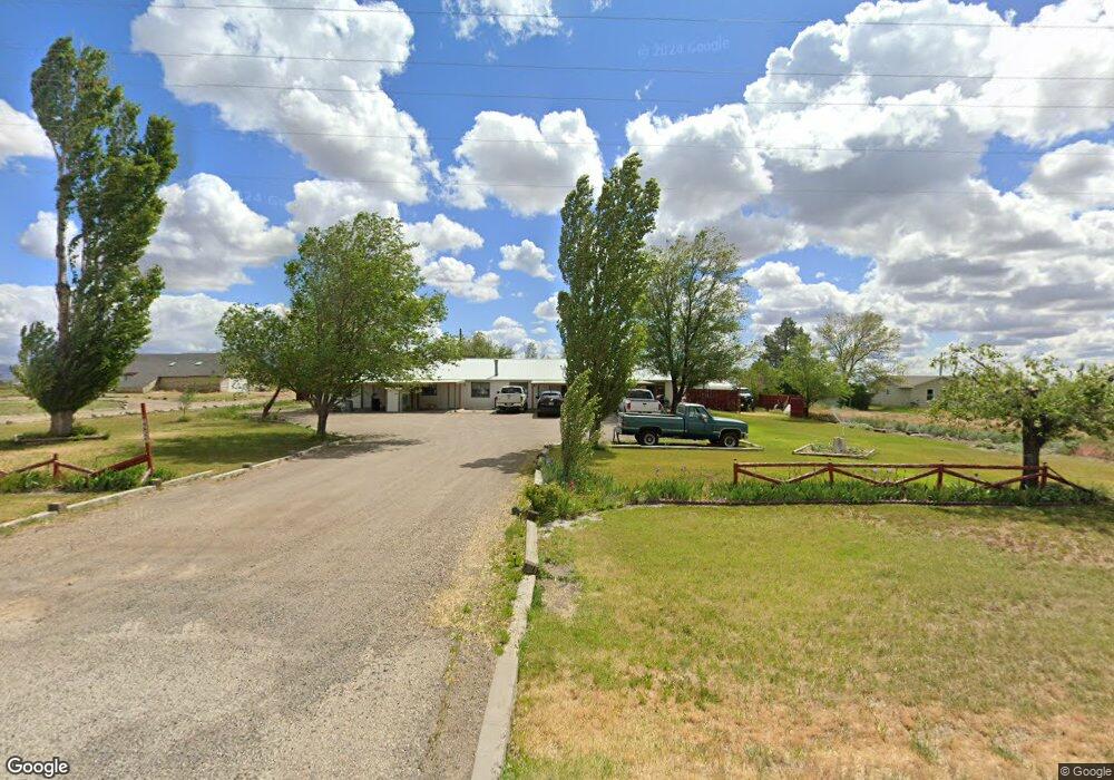
1252A Highway 51 Mountain Home, ID 83647
Estimated Value: $410,000 - $564,746
8
Beds
4
Baths
3,456
Sq Ft
$144/Sq Ft
Est. Value
About This Home
This home is located at 1252A Highway 51, Mountain Home, ID 83647 and is currently estimated at $498,687, approximately $144 per square foot. 1252A Highway 51 is a home located in Elmore County with nearby schools including West Elementary School, Hacker Middle School, and Mountain Home Junior High School.
Ownership History
Date
Name
Owned For
Owner Type
Purchase Details
Closed on
Jun 14, 2022
Sold by
Handa Jagjit K and Handa Y
Bought by
Handa Amita R and Handa Y
Current Estimated Value
Home Financials for this Owner
Home Financials are based on the most recent Mortgage that was taken out on this home.
Original Mortgage
$371,250
Outstanding Balance
$353,246
Interest Rate
5.27%
Estimated Equity
$145,441
Purchase Details
Closed on
Oct 30, 2006
Sold by
Blake Donald L and Blake Anita C
Bought by
Blake Anita C and Blake Donald L
Create a Home Valuation Report for This Property
The Home Valuation Report is an in-depth analysis detailing your home's value as well as a comparison with similar homes in the area
Home Values in the Area
Average Home Value in this Area
Purchase History
| Date | Buyer | Sale Price | Title Company |
|---|---|---|---|
| Handa Amita R | -- | -- | |
| Handa Amita R | -- | -- | |
| Blake Anita C | -- | -- |
Source: Public Records
Mortgage History
| Date | Status | Borrower | Loan Amount |
|---|---|---|---|
| Open | Handa Amita R | $371,250 |
Source: Public Records
Tax History Compared to Growth
Tax History
| Year | Tax Paid | Tax Assessment Tax Assessment Total Assessment is a certain percentage of the fair market value that is determined by local assessors to be the total taxable value of land and additions on the property. | Land | Improvement |
|---|---|---|---|---|
| 2024 | $1,312 | $251,224 | $56,782 | $194,442 |
| 2023 | $1,312 | $230,988 | $43,076 | $187,912 |
| 2022 | $1,211 | $252,701 | $38,964 | $213,737 |
| 2021 | $1,416 | $237,188 | $29,957 | $207,231 |
| 2020 | $1,547 | $229,871 | $24,965 | $204,906 |
| 2019 | $1,656 | $202,295 | $24,965 | $177,330 |
| 2018 | $1,542 | $170,722 | $20,804 | $149,918 |
| 2017 | $1,472 | $154,331 | $20,804 | $133,527 |
| 2016 | $1,398 | $144,008 | $20,804 | $123,204 |
| 2015 | $1,343 | $0 | $0 | $0 |
| 2012 | -- | $119,636 | $26,250 | $93,386 |
Source: Public Records
Map
Nearby Homes
- TBD SW Hwy 51 Smith Rd
- 1642 SW Besra Dr
- 1656 SW Besra Dr
- 1670 SW Besra Dr
- 1698 SW Besra Dr
- 1722 SW Besra Dr
- 1726 SW Besra Dr
- 1740 SW Besra Dr
- 1754 SW Besra Dr
- 1615 SW Pegasus Peak Ave
- 1265 Eric Ct
- 1669 SW Pegasus Peak Ave
- 1655 SW Pegasus Peak Ave
- 1697 SW Pegasus Peak Ave
- 1711 SW Pegasus Peak Ave
- 1324 SW Autumn Ave
- 1750 SW Pegasus Peak Ave
- Sundance 2710 Plan at Blue Yonder
- Columbia 2530 Plan at Blue Yonder
- Lennox 2332 Plan at Blue Yonder
- 1252 Highway 51
- 1252 Idaho 51
- 1228 Highway 51
- TBD S 18th St W
- 1324 Highway 51
- 1540 S 18th St W
- 1252 Highway 52
- 1325 Highway 51
- 1325 Idaho 51
- 1169 Highway 51
- 1635 S 18th W
- 994 Highway 51
- 1454 Highway 51
- 1000 S 18th W
- 1005 Highway 51
- 1550 S 18th St W
- 982 Highway 51
- 979 Highway 51
- 1532 Highway 51
- 1267 SW Autumn Ave